Dixie Highway/# 2901 stop - Monday schedule
| Line | Direction | Time |
|---|---|---|
| 50 | Hillsboro - SW 3 Av Via Northeast Transit Center | 5:40 AM |
| 50 | Hillsboro - SW 3 Av Via Northeast Transit Center | 6:10 AM |
| 50 | Hillsboro - SW 3 Av Via Northeast Transit Center | 6:45 AM |
| 50 | Hillsboro - SW 3 Av Via Northeast Transit Center | 7:16 AM |
| 50 | Hillsboro - SW 3 Av Via Northeast Transit Center | 7:46 AM |
| 50 | Hillsboro - SW 3 Av Via Northeast Transit Center | 8:17 AM |
| 50 | Hillsboro - SW 3 Av Via Northeast Transit Center | 8:47 AM |
| 50 | Hillsboro - SW 3 Av Via Northeast Transit Center | 9:17 AM |
| 50 | Hillsboro - SW 3 Av Via Northeast Transit Center | 9:47 AM |
| 50 | Hillsboro - SW 3 Av Via Northeast Transit Center | 10:16 AM |
| 50 | Hillsboro - SW 3 Av Via Northeast Transit Center | 10:46 AM |
| 50 | Hillsboro - SW 3 Av Via Northeast Transit Center | 11:16 AM |
| 50 | Hillsboro - SW 3 Av Via Northeast Transit Center | 11:48 AM |
| 50 | Hillsboro - SW 3 Av Via Northeast Transit Center | 12:18 PM |
| 50 | Hillsboro - SW 3 Av Via Northeast Transit Center | 12:48 PM |
| 50 | Hillsboro - SW 3 Av Via Northeast Transit Center | 1:18 PM |
| 50 | Hillsboro - SW 3 Av Via Northeast Transit Center | 1:48 PM |
| 50 | Hillsboro - SW 3 Av Via Northeast Transit Center | 2:18 PM |
| 50 | Hillsboro - SW 3 Av Via Northeast Transit Center | 2:50 PM |
| 50 | Hillsboro - SW 3 Av Via Northeast Transit Center | 3:19 PM |
| 50 | Hillsboro - SW 3 Av Via Northeast Transit Center | 3:54 PM |
| 50 | Hillsboro - SW 3 Av Via Northeast Transit Center | 4:31 PM |
| 50 | Hillsboro - SW 3 Av Via Northeast Transit Center | 5:06 PM |
| 50 | Hillsboro - SW 3 Av Via Northeast Transit Center | 5:41 PM |
| 50 | Hillsboro - SW 3 Av Via Northeast Transit Center | 6:16 PM |
Directions to Dixie Highway/# 2901 stop (Fort Lauderdale) with public transit
The following transit lines have routes that pass near Dixie Highway/# 2901
 Bus: 50, 72.
How to get to Dixie Highway/# 2901 stop by bus?
Click on the bus route to see step by step directions with maps, line arrival times and updated time schedules.
Bus stops near Dixie Highway/# 2901 stop in Fort Lauderdale
- Wilton Drive/Northeast 9th Avenue, 4 min walk,
- Oakland Park Boulevard & Dixie Highway, 4 min walk,
Bus lines to Dixie Highway/# 2901 stop in Fort Lauderdale
- 50, Hillsboro - SW 3 Av Via Northeast Transit Center,
- 72, Sawgrass Mills,
What are the closest stations to Dixie Highway/# 2901?
The closest stations to Dixie Highway/# 2901 are:
- Wilton Drive/Northeast 9th Avenue stop is 307 yards away, 4 min walk.
- Oakland Park Boulevard & Dixie Highway stop is 332 yards away, 4 min walk.
Which bus lines stop near Dixie Highway/# 2901?
These bus lines stop near Dixie Highway/# 2901: 50, 72.
What’s the nearest bus station to Dixie Highway/# 2901 in Fort Lauderdale?
The nearest bus stations to Dixie Highway/# 2901 in Fort Lauderdale are Wilton Drive/Northeast 9th Avenue and Oakland Park Boulevard & Dixie Highway. The closest one is a 4 min walk away.
What time is the first bus to Dixie Highway/# 2901 in Fort Lauderdale?
The 72 is the first bus that goes to Dixie Highway/# 2901 in Fort Lauderdale. It stops nearby at 5:11 AM.
What time is the last bus to Dixie Highway/# 2901 in Fort Lauderdale?
The 72 is the last bus that goes to Dixie Highway/# 2901 in Fort Lauderdale. It stops nearby at 1:23 AM.
Dixie Highway/# 2901 station
 Taken by Anonymous
See Dixie Highway/# 2901 stop, Fort Lauderdale, on the map
Public transit to Dixie Highway/# 2901 stop (ID: 3726) in Fort Lauderdale
Looking for directions to Dixie Highway/# 2901 in Fort Lauderdale, United States?
Download the Moovit App to find the current schedule and step-by-step directions for Bus routes that pass through Dixie Highway/# 2901.
Looking for the nearest stops closest to Dixie Highway/# 2901 ? Check out this list of closest stops to your destination: Wilton Drive/Northeast 9th Avenue; Oakland Park Boulevard & Dixie Highway.
Bus: 50, 72.
We make riding on public transit to Dixie Highway/# 2901 easy, which is why over 1.7 billion users, including users in Fort Lauderdale trust Moovit as the best app for public transit.
Use the app to navigate to popular places including to the airport, hospital, stadium, grocery store, mall, coffee shop, school, college, and university.
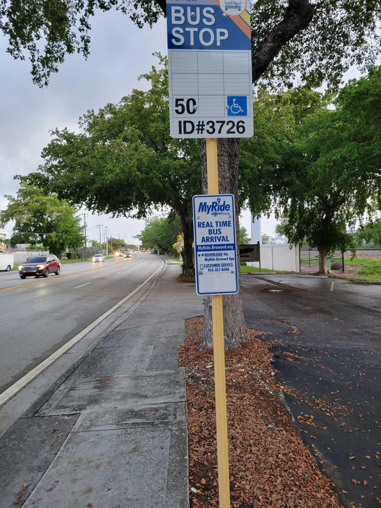
Dixie Highway/# 2901 stop’s code is 3726
The first line to this stop is 50, at 5:40 AM, and the last line is 50 at 11:25 PM.
2900 N Dixie Hwy, Oakland Park, FL, USA
This stop serves Broward County Transit’s lines
- Wilton Drive/Northeast 9th Avenue,
- Oakland Park Boulevard & Dixie Highway
Bus stops near Dixie Highway/# 2901 stop
- Stirling Road/Pine Island Road,
- Nw 22 Av & 36 St,
- MILITARY TRL at LAKE IDA RD,
- Sw 72 St @ Sw 147 Av,
- US 441/Winfield Boulevard,
- Collins Av & Haulover Pier,
- W 21 St & Palm Av,
- NW 13TH ST at NW 13TH WAY,
- BENOIST FARMS RD at THE COLONY APT,
- Sw 8 St @ Sw 57 Av,
- Transitway & Sw 173 St,
- Sw 152 St @ Sw 122 Av,
- Collins Av & 65 St,
- Nw 37 Av & Nw 191 St,
- MILITARY TRL at SUMMIT BLVD,
- Collins Av & 24 St,
- S ORIOLE BLVD at JOG RD,
- Sw 88 St @ Sw 72 Ct,
- MILITARY TRL at WESTGATE AVE,
- Sw 167 Av & Sw 336 St (S/f)
Popular public transit stations in Fort Lauderdale
Get around Fort Lauderdale by public transit!
Traveling around Fort Lauderdale has never been so easy. See step by step directions as you travel to any attraction, street or major public transit station. View bus and train schedules, arrival times, service alerts and detailed routes on a map, so you know exactly how to get to anywhere in Fort Lauderdale.
When traveling to any destination around Fort Lauderdale use Moovit's Live Directions with Get Off Notifications to know exactly where and how far to walk, how long to wait for your line, and how many stops are left. Moovit will alert you when it's time to get off — no need to constantly re-check whether yours is the next stop.
Wondering how to use public transit in Fort Lauderdale or how to pay for public transit in Fort Lauderdale? Moovit public transit app can help you navigate your way with public transit easily, and at minimum cost. It includes public transit fees, ticket prices, and costs. Looking for a map of Fort Lauderdale public transit lines? Moovit public transit app shows all public transit maps in Fort Lauderdale with all Bus, Train, Light Rail and Ferry routes and stops on an interactive map.
Miami has 4 transit type(s), including: Bus, Train, Light Rail and Ferry, operated by several transit agencies, including Broward County Transit, Miami-Dade Transit, Metrorail, Palm Tran, Tri-Rail, Brightline, MARTY, City of Homestead Trolley, Key West Transit, Treasure Coast Connector, GoLine IRT, Amtrak, Greyhound-us, FlixBus-us and Aventura Express Shuttle Bus