How to get to Djava by bus?
Click on the bus route to see step by step directions with maps, line arrival times and updated time schedules.
From Notaris Dan Ppat Annis Setiawan, S.H., Mkn, Gresik
141 minFrom Praktik Dokter Nancy Setiono, Gresik
178 minFrom Benjeng, Gresik
158 minFrom Terminal Bunder, Gresik
141 minFrom Balongpanggang, Gresik
177 minFrom Bunder, Gresik
142 minFrom Duduksampeyan, Gresik., Gresik
160 minFrom Terminal Bunder Gresik, Gresik
167 minFrom balongpanggang, gresik, Gresik
181 min
How to get to Djava by train?
Click on the train route to see step by step directions with maps, line arrival times and updated time schedules.
Bus stop near Djava in Lamongan
- Sman 1 Lamongan, 3 min walk,VIEW
Train station near Djava in Lamongan
- Stasiun Lamongan, 16 min walk,VIEW
Bus lines to Djava in Lamongan
- K7, Terminal Lamongan,VIEW
What are the closest stations to Djava?
The closest stations to Djava are:
- Sman 1 Lamongan is 206 meters away, 3 min walk.
- Stasiun Lamongan is 1150 meters away, 16 min walk.
Which bus line stops near Djava?
K7 (Terminal Lamongan)
Which train line stops near Djava?
A (Bojonegoro)
What’s the nearest train station to Djava in Lamongan?
The nearest train station to Djava in Lamongan is Stasiun Lamongan. It’s a 16 min walk away.
What’s the nearest bus station to Djava in Lamongan?
The nearest bus station to Djava in Lamongan is Sman 1 Lamongan. It’s a 3 min walk away.
What time is the first train to Djava in Lamongan?
The A is the first train that goes to Djava in Lamongan. It stops nearby at 3:31 AM.
What time is the last train to Djava in Lamongan?
The A is the last train that goes to Djava in Lamongan. It stops nearby at 5:45 PM.
What time is the first bus to Djava in Lamongan?
The K7 is the first bus that goes to Djava in Lamongan. It stops nearby at 6:06 AM.
What time is the last bus to Djava in Lamongan?
The K7 is the last bus that goes to Djava in Lamongan. It stops nearby at 9:19 PM.
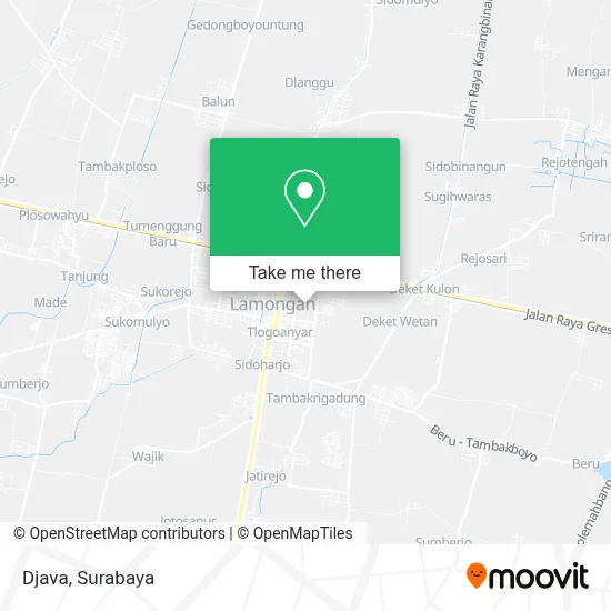
See Djava, Lamongan, on the map
Public Transit to Djava in Lamongan
Wondering how to get to Djava in Lamongan? Moovit helps you find the best way to get to Djava with step-by-step directions from the nearest public transit station.
Moovit provides free maps and live directions to help you navigate through your city. View schedules, routes, timetables, and find out how long does it take to get to Djava in real time.
Looking for the nearest stop or station to Djava? Check out this list of stops closest to your destination: Sman 1 Lamongan; Stasiun Lamongan.
Bus: K7.Train: A.
Want to see if there’s another route that gets you there at an earlier time? Moovit helps you find alternative routes or times. Get directions from and directions to Djava easily from the Moovit App or Website.
We make riding to Djava easy, which is why over 1.5 million users, including users in Lamongan, trust Moovit as the best app for public transit. You don’t need to download an individual bus app or train app, Moovit is your all-in-one transit app that helps you find the best bus time or train time available.
For information on prices of bus and train, costs and ride fares to Djava, please check the Moovit app.
Use the app to navigate to popular places including to the airport, hospital, stadium, grocery store, mall, coffee shop, school, college, and university.
Djava Address: Jalan Dr Wahidin Sudirohusodo Lamongan 62211 street in Lamongan
- Gahamy,
- Alpha Siera,
- Famili Toko,
- Jj Gallery Bali,
- Wangs,
- Elizabeth,
- Pertigaan Kaliwates,
- Bu Ipung Cafe And Catering,
- Pecellelecasual,
- Fite Tea,
- Kursus Mengemudi Mobil Belian,
- Aloon-Aloon Lamongan,
- Pusako Mintuo,
- P. Seno Putra,
- Vian Kios,
- Warung 20,
- Toko Jumain,
- Barokah,
- Mawaddah,
- Toko Karpet Hijau
Places Near Djava (Lamongan)
- Grand City Mall, Surabaya, Gubeng,
- Pakuwon Mall, Lontar,
- Graha Pena, Ketintang,
- Galaxy Mall Surabaya, Mulyorejo,
- Halte Bis Royal Plaza, Wonokromo,
- GBT (Gelora Bung Tomo) Surabaya, Benowo,
- Bis Damri P1 (Perak-Bungurasih PP), Krembangan Selatan,
- Pakuwon City Mall, Keputih,
- Smoking Room Terminal Domestik Juanda International Airport, Sidoarjo,
- Kebun Binatang Surabaya, Darmo,
- Masjid Al-Akbar, Surabaya,
- BG Junction Mall, Bubutan,
- UPN Veteran Jawa Timur, Gunung Anyar,
- Kantor Regional II BKN Surabaya, Sidoarjo,
- Stadion gelora bung tomo(surabaya,jawa timur), Surabaya,
- Taman Harmoni, Keputih,
- PTC, Surabaya,
- Bg Junction, Bubutan,
- Universitas Negeri Surabaya (UNESA), Lidah Wetan,
- Pelabuhan Tanjung Perak
How to get to popular places in Surabaya with public transit
Get around Lamongan by public transit!
Traveling around Lamongan has never been so easy. See step by step directions as you travel to any attraction, street or major public transit station. View bus and train schedules, arrival times, service alerts and detailed routes on a map, so you know exactly how to get to anywhere in Lamongan.
When traveling to any destination around Lamongan use Moovit's Live Directions with Get Off Notifications to know exactly where and how far to walk, how long to wait for your line, and how many stops are left. Moovit will alert you when it's time to get off — no need to constantly re-check whether yours is the next stop.
Wondering how to use public transit in Lamongan or how to pay for public transit in Lamongan? Moovit public transit app can help you navigate your way with public transit easily, and at minimum cost. It includes public transit fees, ticket prices, and costs. Looking for a map of Lamongan public transit lines? Moovit public transit app shows all public transit maps in Lamongan with all Bus and Train routes and stops on an interactive map.
Surabaya has 2 transit type(s), including: Bus and Train, operated by several transit agencies, including KAI Commuter, Angkutan Surabaya, Trans Semanggi Suroboyo, Suroboyo Bus, Feeder Wira Wiri Suroboyo, Trans Jatim and DAMRI