How to get to Dover Neal Development by bus?
Click on the bus route to see step by step directions with maps, line arrival times and updated time schedules.
From Indian River State College, Fort Pierce
88 minFrom CVS Pharmacy - (Lyngate Dr), Port St. Lucie
88 minFrom Stuart, Florida, Stuart
138 minFrom US-1, Fort Pierce
56 minFrom US-1 / SE Port St Lucie Blvd, Port St. Lucie
97 minFrom Clover Park, Port St. Lucie
118 minFrom Tradition Park, Port St. Lucie
141 minFrom Suncoast High School, Riviera Beach
590 min
Bus stops near Dover Neal Development in Fort Pierce
Bus lines to Dover Neal Development in Fort Pierce
What are the closest stations to Dover Neal Development?
The closest stations to Dover Neal Development are:
- N Causeway & North US 1 is 155 yards away, 2 min walk.
- Hwy A1A & North US 1 is 349 yards away, 5 min walk.
Which bus lines stop near Dover Neal Development?
These bus lines stop near Dover Neal Development: 1, 3, 7.
What’s the nearest bus station to Dover Neal Development in Fort Pierce?
The nearest bus station to Dover Neal Development in Fort Pierce is N Causeway & North US 1. It’s a 2 min walk away.
What time is the first bus to Dover Neal Development in Fort Pierce?
The 2 is the first bus that goes to Dover Neal Development in Fort Pierce. It stops nearby at 6:33 AM.
What time is the last bus to Dover Neal Development in Fort Pierce?
The 2 is the last bus that goes to Dover Neal Development in Fort Pierce. It stops nearby at 7:52 PM.
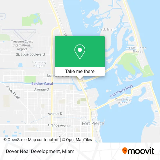
See Dover Neal Development, Fort Pierce, on the map
Public Transit to Dover Neal Development in Fort Pierce
Wondering how to get to Dover Neal Development in Fort Pierce? Moovit helps you find the best way to get to Dover Neal Development with step-by-step directions from the nearest public transit station.
Moovit provides free maps and live directions to help you navigate through your city. View schedules, routes, timetables, and find out how long does it take to get to Dover Neal Development in real time.
Looking for the nearest stop or station to Dover Neal Development? Check out this list of stops closest to your destination: N Causeway & North US 1; Hwy A1A & North US 1.
Bus: 1, 3, 7, 2.
Want to see if there’s another route that gets you there at an earlier time? Moovit helps you find alternative routes or times. Get directions from and directions to Dover Neal Development easily from the Moovit App or Website.
We make riding to Dover Neal Development easy, which is why over 1.5 million users, including users in Fort Pierce, trust Moovit as the best app for public transit. You don’t need to download an individual bus app or train app, Moovit is your all-in-one transit app that helps you find the best bus time or train time available.
For information on prices of bus, costs and ride fares to Dover Neal Development, please check the Moovit app.
Use the app to navigate to popular places including to the airport, hospital, stadium, grocery store, mall, coffee shop, school, college, and university.
Dover Neal Development Address: 2178 N US Highway 1 Fort Pierce, FL 34946 street in Fort Pierce
- Daisy Alexander - S E Benchmark Agency,
- Cartiers Tattoos and Piercings,
- Canvas Works Custom Marine Upholstery & Design,
- Intoxalock Ignition Interlock,
- C & H Treasure Box,
- Holy Temple Church,
- S E Benchmark Agency, Inc,
- U-Haul,
- Life Celebrations Mortuary,
- Sunoco,
- Little Jims Marine at Little Jim's Bridge,
- Primo Pizza,
- German American Bank Itm,
- Day Boat Seafood,
- Taylor Creek Commons,
- Dukes Barbershop,
- Presto! Atm at Publix Super Market,
- Joint Chiropractic,
- Florida Fresh Fish,
- Caliber Car Wash
Places Near Dover Neal Development (Fort Pierce)
- Zoo Miami, Miami,
- Brickell City Centre, Miami,
- Little Havana, Miami,
- Richard E. Gerstein Justice Building, Miami,
- Miami Design District, Miami,
- Sawgrass mall ( FL ), Miami Beach,
- Dolphin Mall, Miami,
- Miami VA Hospital, Miami,
- Sawgrass Mall, Miami,
- Bayside Marketplace, Miami,
- Aventura Mall, Miami Beach,
- Miami Freedom Park, Miami,
- Keiser University Flagship Campus, West Palm Beach,
- Miami-Dade County Courthouse, Miami,
- Hard Rock Stadium, Miami Gardens,
- Marlins Park, Miami,
- Port of Miami Cruise Terminal, Miami,
- Dolphin Mall Bus, Miami,
- Wynwood, Miami,
- Aventura Mall, Miami
How to get to popular places in Miami with public transit
Get around Fort Pierce by public transit!
Traveling around Fort Pierce has never been so easy. See step by step directions as you travel to any attraction, street or major public transit station. View bus and train schedules, arrival times, service alerts and detailed routes on a map, so you know exactly how to get to anywhere in Fort Pierce.
When traveling to any destination around Fort Pierce use Moovit's Live Directions with Get Off Notifications to know exactly where and how far to walk, how long to wait for your line, and how many stops are left. Moovit will alert you when it's time to get off — no need to constantly re-check whether yours is the next stop.
Wondering how to use public transit in Fort Pierce or how to pay for public transit in Fort Pierce? Moovit public transit app can help you navigate your way with public transit easily, and at minimum cost. It includes public transit fees, ticket prices, and costs. Looking for a map of Fort Pierce public transit lines? Moovit public transit app shows all public transit maps in Fort Pierce with all Bus, Train, Light Rail and Ferry routes and stops on an interactive map.
Miami has 4 transit type(s), including: Bus, Train, Light Rail and Ferry, operated by several transit agencies, including Broward County Transit, Miami-Dade Transit, Metrorail, Palm Tran, Tri-Rail, Brightline, MARTY, City of Homestead Trolley, Key West Transit, Treasure Coast Connector, GoLine IRT, Amtrak, Greyhound-us, FlixBus-us and Aventura Express Shuttle Bus