How to get to Dr. Chong Davin by bus?
Click on the bus route to see step by step directions with maps, line arrival times and updated time schedules.
From The Garneau, Edmonton
50 minFrom Burnco Landscape Centre, Edmonton
64 minFrom Vivid Vision Studio, Edmonton
53 minFrom MacEwan LRT Station, Edmonton
42 minFrom Whyte Avenue, Edmonton
62 minFrom Kindersley Transport, Edmonton
80 minFrom Edmonton Food Bank, Edmonton
47 minFrom 11541 Kingsway Northwest, Edmonton
50 minFrom Metro Mortgage Group - Nelson Sousa, Edmonton
55 minFrom Varscona Hotel On Whyte, Edmonton
53 min
Bus stops near Dr. Chong Davin in Edmonton
Light Rail stations near Dr. Chong Davin in Edmonton
- Belvedere Station, 7 min walk,VIEW
Bus lines to Dr. Chong Davin in Edmonton
What are the closest stations to Dr. Chong Davin?
The closest stations to Dr. Chong Davin are:
- Londonderry Mall East Entrance is 102 meters away, 2 min walk.
- 66 Street & 140 Avenue is 259 meters away, 4 min walk.
- 69 Street & 144 Avenue is 340 meters away, 5 min walk.
- 68 Street & 137 Avenue is 364 meters away, 5 min walk.
- Belvedere Station is 472 meters away, 7 min walk.
- 66 Street & 144 Avenue is 489 meters away, 7 min walk.
Which bus lines stop near Dr. Chong Davin?
These bus lines stop near Dr. Chong Davin: 054, 113.
What’s the nearest light rail station to Dr. Chong Davin in Edmonton?
The nearest light rail station to Dr. Chong Davin in Edmonton is Belvedere Station. It’s a 7 min walk away.
What’s the nearest bus station to Dr. Chong Davin in Edmonton?
The nearest bus station to Dr. Chong Davin in Edmonton is Londonderry Mall East Entrance. It’s a 2 min walk away.
What time is the first bus to Dr. Chong Davin in Edmonton?
The 113 is the first bus that goes to Dr. Chong Davin in Edmonton. It stops nearby at 6:07 AM.
What time is the last bus to Dr. Chong Davin in Edmonton?
The 054 is the last bus that goes to Dr. Chong Davin in Edmonton. It stops nearby at 12:40 AM.
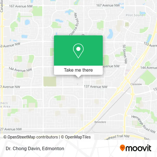
See Dr. Chong Davin, Edmonton, on the map
Public Transit to Dr. Chong Davin in Edmonton
Wondering how to get to Dr. Chong Davin in Edmonton? Moovit helps you find the best way to get to Dr. Chong Davin with step-by-step directions from the nearest public transit station.
Moovit provides free maps and live directions to help you navigate through your city. View schedules, routes, timetables, and find out how long does it take to get to Dr. Chong Davin in real time.
Looking for the nearest stop or station to Dr. Chong Davin? Check out this list of stops closest to your destination: Londonderry Mall East Entrance; 66 Street & 140 Avenue; 69 Street & 144 Avenue; 68 Street & 137 Avenue; Belvedere Station; 66 Street & 144 Avenue.
Bus: 054, 113, 128, 107, 626, 114, 620, 621.
Want to see if there’s another route that gets you there at an earlier time? Moovit helps you find alternative routes or times. Get directions from and directions to Dr. Chong Davin easily from the Moovit App or Website.
We make riding to Dr. Chong Davin easy, which is why over 1.5 million users, including users in Edmonton, trust Moovit as the best app for public transit. You don’t need to download an individual bus app or train app, Moovit is your all-in-one transit app that helps you find the best bus time or train time available.
For information on prices of bus, costs and ride fares to Dr. Chong Davin, please check the Moovit app.
Use the app to navigate to popular places including to the airport, hospital, stadium, grocery store, mall, coffee shop, school, college, and university.
Dr. Chong Davin Address: 1 Londonderry Mall NW Edmonton, AB T5C 3C8 street in Edmonton
- Tip Top,
- Gilani,
- Evva's,
- Studio Nails,
- Spastation LD Hot Shea,
- Rogers 5653,
- Real & Carolyn's No Fri,
- Artz Plus,
- Shaw,
- Elin Clothing,
- Kingsway Legion,
- Craze Mania,
- Mappins,
- Metalsmith,
- Nofri,
- Ultra Jewellers,
- Step in Shoes,
- Malvel Butiq,
- Shoemasters Quality Shoe Repair,
- Shoemasters B
Places Near Dr. Chong Davin (Edmonton)
- Fort Edmonton Park, Edmonton,
- Edmonton Commonwealth Stadium, Edmonton,
- Kingsway Mall, Edmonton,
- Alberta Legislature Building, Edmonton,
- Royal Alexandra Hospital, Edmonton,
- Borden Park, Edmonton,
- Northgate Centre, Edmonton,
- Edmonton Valley Zoo, Edmonton,
- Londonderry Mall, Edmonton,
- Whyte Avenue, Edmonton,
- University of Alberta, Edmonton,
- Cross Cancer Institute, Edmonton,
- Edmonton VIA Rail Station, Edmonton,
- Rogers Place, Edmonton,
- MacEwan University, Edmonton,
- Kaye Edmonton Clinic, Edmonton,
- West Edmonton Mall, Edmonton,
- Edmonton EXPO Centre, Edmonton,
- Canada Place Service Canada Centre, Edmonton,
- Grey Nuns Community Hospital, Edmonton
How to get to popular places in Edmonton with public transit
Get around Edmonton by public transit!
Traveling around Edmonton has never been so easy. See step by step directions as you travel to any attraction, street or major public transit station. View bus and train schedules, arrival times, service alerts and detailed routes on a map, so you know exactly how to get to anywhere in Edmonton.
When traveling to any destination around Edmonton use Moovit's Live Directions with Get Off Notifications to know exactly where and how far to walk, how long to wait for your line, and how many stops are left. Moovit will alert you when it's time to get off — no need to constantly re-check whether yours is the next stop.
Wondering how to use public transit in Edmonton or how to pay for public transit in Edmonton? Moovit public transit app can help you navigate your way with public transit easily, and at minimum cost. It includes public transit fees, ticket prices, and costs. Looking for a map of Edmonton public transit lines? Moovit public transit app shows all public transit maps in Edmonton with all Bus and Light Rail routes and stops on an interactive map.
Edmonton has 2 transit type(s), including: Bus and Light Rail, operated by several transit agencies, including ETS LRT, ETS, Strathcona County Transit, St. Albert Transit, Spruce Grove Transit, Fort Saskatchewan Transit, Beaumont Transit and Leduc Transit