How to get to Driving Aids Development by bus?
Click on the bus route to see step by step directions with maps, line arrival times and updated time schedules.
From Inova Fairfax Hospital, Fairfax County
79 minFrom George H.W. Bush Center For Intelligence (CIA Headquarters), Fairfax County
124 minFrom Northern Virginia Community College - Annandale Campus, Fairfax County
78 minFrom Eden Center, Falls Church
81 minFrom George Mason University, Fairfax County
81 minFrom EagleBank Arena, Fairfax County
92 minFrom Fairfax County Government Center, Fairfax County
65 minFrom Liberty Crossing, Fairfax County
46 minFrom Fairfax County Courthouse, Fairfax County
81 min
Bus stop near Driving Aids Development in Fairfax County
- Beulah Rd @ Delancey Dr, 5 min walk,VIEW
Metro station near Driving Aids Development in Fairfax County
- Spring Hill, 60 min walk,VIEW
Bus lines to Driving Aids Development in Fairfax County
- 432, 432 Spring Hill Metro,VIEW
What are the closest stations to Driving Aids Development?
The closest stations to Driving Aids Development are:
- Beulah Rd @ Delancey Dr is 363 yards away, 5 min walk.
- Spring Hill is 5160 yards away, 60 min walk.
Which bus lines stop near Driving Aids Development?
These bus lines stop near Driving Aids Development: 432, 463, 467.
What’s the nearest bus station to Driving Aids Development in Fairfax County?
The nearest bus station to Driving Aids Development in Fairfax County is Beulah Rd @ Delancey Dr. It’s a 5 min walk away.
What time is the first metro to Driving Aids Development in Fairfax County?
The SILVER is the first metro that goes to Driving Aids Development in Fairfax County. It stops nearby at 5:07 AM.
What time is the last metro to Driving Aids Development in Fairfax County?
The SILVER is the last metro that goes to Driving Aids Development in Fairfax County. It stops nearby at 12:43 AM.
What time is the first bus to Driving Aids Development in Fairfax County?
The 432 is the first bus that goes to Driving Aids Development in Fairfax County. It stops nearby at 6:04 AM.
What time is the last bus to Driving Aids Development in Fairfax County?
The 432 is the last bus that goes to Driving Aids Development in Fairfax County. It stops nearby at 7:08 PM.
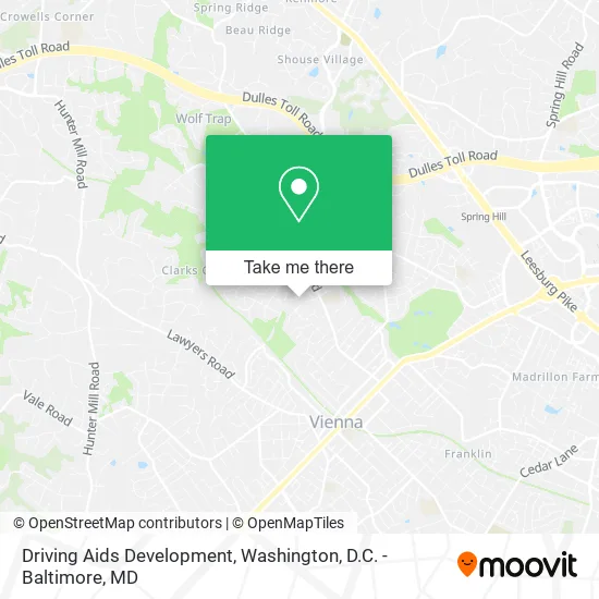
See Driving Aids Development, Fairfax County, on the map
Public Transit to Driving Aids Development in Fairfax County
Wondering how to get to Driving Aids Development in Fairfax County? Moovit helps you find the best way to get to Driving Aids Development with step-by-step directions from the nearest public transit station.
Moovit provides free maps and live directions to help you navigate through your city. View schedules, routes, timetables, and find out how long does it take to get to Driving Aids Development in real time.
Looking for the nearest stop or station to Driving Aids Development? Check out this list of stops closest to your destination: Beulah Rd @ Delancey Dr; Spring Hill.
Bus: 432, 463, 467.Metro: SILVER.
Want to see if there’s another route that gets you there at an earlier time? Moovit helps you find alternative routes or times. Get directions from and directions to Driving Aids Development easily from the Moovit App or Website.
We make riding to Driving Aids Development easy, which is why over 1.5 million users, including users in Fairfax County, trust Moovit as the best app for public transit. You don’t need to download an individual bus app or train app, Moovit is your all-in-one transit app that helps you find the best bus time or train time available.
For information on prices of bus and metro, costs and ride fares to Driving Aids Development, please check the Moovit app.
Use the app to navigate to popular places including to the airport, hospital, stadium, grocery store, mall, coffee shop, school, college, and university.
Driving Aids Development Address: 9417 Delancey Dr Vienna, VA 22182 street in Fairfax County
- Holy Comforter Preschool & Kindergarten,
- Woodbridge Senior High School,
- Team Thomsen,
- Gas Line Repair & Installation Plumbing,
- Clarks Crossing CX,
- W&Od Trail Vienna Caboose,
- Bubbes Bookshelf U Jewish BKS,
- Interiors by LH,
- Lemonade Sewing,
- Caboose Brewing Company,
- Dress Master of Northern Virginia,
- Aviz,
- Vienna Stream Valley Park,
- Rival frisbee team headquarters,
- Matchmaking Company,
- Massages by Michael,
- Robert Norris Kitchen Cabinet Refinishing,
- Convenient Estate Sales,
- Cloud IX Homes, LLC,
- Top of the Podium Vienna
Places Near Driving Aids Development (Fairfax County)
- Washington DC VA Medical Center, Washington,
- M&T Bank Stadium, Baltimore,
- Camden Yards, Baltimore,
- Capital One Arena, Washington,
- Westfield Montgomery Mall, Montgomery County,
- Sibley Memorial Hospital, Washington,
- PG Mall, Prince George's County,
- Warner Theatre, Washington,
- Pennsylvania Ave NW (3rd st and pennsylvania), Washington,
- Museum Of The Bible, Washington,
- Basilica of the National Shrine, Washington,
- National Theatre, Washington,
- Amazon Hq2, Arlington County,
- Washington National Cathedral, Washington,
- Marriott Marquis Washington, DC, Washington,
- Georgetown, Washington,
- National Zoo, Washington,
- National Museum of African American History and Culture, Washington,
- The Anthem, Washington,
- Rock Creek Tennis Center, Washington
How to get to popular places in Washington, D.C. - Baltimore, MD with public transit
Get around Fairfax County by public transit!
Traveling around Fairfax County has never been so easy. See step by step directions as you travel to any attraction, street or major public transit station. View bus and train schedules, arrival times, service alerts and detailed routes on a map, so you know exactly how to get to anywhere in Fairfax County.
When traveling to any destination around Fairfax County use Moovit's Live Directions with Get Off Notifications to know exactly where and how far to walk, how long to wait for your line, and how many stops are left. Moovit will alert you when it's time to get off — no need to constantly re-check whether yours is the next stop.
Wondering how to use public transit in Fairfax County or how to pay for public transit in Fairfax County? Moovit public transit app can help you navigate your way with public transit easily, and at minimum cost. It includes public transit fees, ticket prices, and costs. Looking for a map of Fairfax County public transit lines? Moovit public transit app shows all public transit maps in Fairfax County with all Bus, Train, Metro, Light Rail and Ferry routes and stops on an interactive map.
Washington, D.C. - Baltimore, MD has 5 transit type(s), including: Bus, Train, Metro, Light Rail and Ferry, operated by several transit agencies, including WMATA, Montgomery County Ride On, Fairfax Connector, TheBus, PRTC, DASH - Alexandria, Arlington Transit (ART), RTA of Central Maryland, MDOT MTA, MDOT MTA Light RailLink, MDOT MTA Commuter Bus, MDOT MTA Local Bus, FXBGO!, Virginia Railway Express (VRE) and MARC