How to get to Drop Foundation by bus?
Click on the bus route to see step by step directions with maps, line arrival times and updated time schedules.
Bus stops near Drop Foundation in Saint Mary's County
Bus lines to Drop Foundation in Saint Mary's County
What are the closest stations to Drop Foundation?
The closest stations to Drop Foundation are:
- Chancellors Run Rd. & Sayre Rd. is 1191 yards away, 15 min walk.
- Chancellor's Run Rd. And Amber Dr. is 1625 yards away, 20 min walk.
- Amber Dr. And Meath Rd. (Hickory Hills) Nb is 2021 yards away, 24 min walk.
- San Souci Plaza is 2762 yards away, 33 min walk.
Which bus line stops near Drop Foundation?
4 (Lexington Park)
What’s the nearest bus station to Drop Foundation in Saint Mary's County?
The nearest bus station to Drop Foundation in Saint Mary's County is Chancellors Run Rd. & Sayre Rd.. It’s a 15 min walk away.
What time is the first bus to Drop Foundation in Saint Mary's County?
The 4 is the first bus that goes to Drop Foundation in Saint Mary's County. It stops nearby at 6:10 AM.
What time is the last bus to Drop Foundation in Saint Mary's County?
The 11 is the last bus that goes to Drop Foundation in Saint Mary's County. It stops nearby at 10:42 PM.
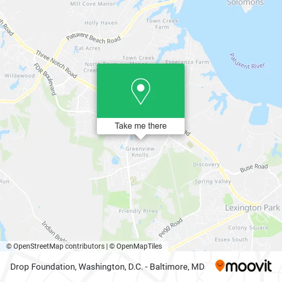
See Drop Foundation, Saint Mary's County, on the map
Public Transit to Drop Foundation in Saint Mary's County
Wondering how to get to Drop Foundation in Saint Mary's County? Moovit helps you find the best way to get to Drop Foundation with step-by-step directions from the nearest public transit station.
Moovit provides free maps and live directions to help you navigate through your city. View schedules, routes, timetables, and find out how long does it take to get to Drop Foundation in real time.
Looking for the nearest stop or station to Drop Foundation? Check out this list of stops closest to your destination: Chancellors Run Rd. & Sayre Rd.; Chancellor's Run Rd. And Amber Dr.; Amber Dr. And Meath Rd. (Hickory Hills) Nb; San Souci Plaza.
Bus: 4, 8, 11, 1, 5, 14.
Want to see if there’s another route that gets you there at an earlier time? Moovit helps you find alternative routes or times. Get directions from and directions to Drop Foundation easily from the Moovit App or Website.
We make riding to Drop Foundation easy, which is why over 1.5 million users, including users in Saint Mary's County, trust Moovit as the best app for public transit. You don’t need to download an individual bus app or train app, Moovit is your all-in-one transit app that helps you find the best bus time or train time available.
For information on prices of bus, costs and ride fares to Drop Foundation, please check the Moovit app.
Use the app to navigate to popular places including to the airport, hospital, stadium, grocery store, mall, coffee shop, school, college, and university.
Drop Foundation Address: Church Dr Great Mills, MD 20634 street in Saint Mary's County
- Jamie Colaianni,
- Monterey,
- R&W Painting,
- The Winchester Speakeasy,
- Step by Step in Homecare - All Locations,
- San Souci Plaza,
- Lularoe Rachel Tackett,
- Elks Lodge,
- Blaq Empire Braid Studio,
- Dunn Clean Laundromat,
- Coinstar,
- California 15 Minute Response Locksmith,
- Coinstar Kiosk,
- Fashion Bug,
- TACO BELL,
- Bay District Volunteer Fire Department Company 9,
- Shah Associates,
- Method Studio,
- Car Pros Automotive,
- Who Got next? Barbershop
Places Near Drop Foundation (Saint Mary's County)
- National Theatre, Washington,
- Amazon Hq2, Arlington County,
- Capital One Arena, Washington,
- Museum Of The Bible, Washington,
- Rock Creek Tennis Center, Washington,
- Warner Theatre, Washington,
- Basilica of the National Shrine, Washington,
- Camden Yards, Baltimore,
- Marriott Marquis Washington, DC, Washington,
- Washington DC VA Medical Center, Washington,
- National Zoo, Washington,
- Sibley Memorial Hospital, Washington,
- PG Mall, Prince George's County,
- M&T Bank Stadium, Baltimore,
- Washington National Cathedral, Washington,
- Georgetown, Washington,
- National Museum of African American History and Culture, Washington,
- Westfield Montgomery Mall, Montgomery County,
- The Anthem, Washington,
- Pennsylvania Ave NW (3rd st and pennsylvania), Washington
How to get to popular places in Washington, D.C. - Baltimore, MD with public transit
Get around Saint Mary's County by public transit!
Traveling around Saint Mary's County has never been so easy. See step by step directions as you travel to any attraction, street or major public transit station. View bus and train schedules, arrival times, service alerts and detailed routes on a map, so you know exactly how to get to anywhere in Saint Mary's County.
When traveling to any destination around Saint Mary's County use Moovit's Live Directions with Get Off Notifications to know exactly where and how far to walk, how long to wait for your line, and how many stops are left. Moovit will alert you when it's time to get off — no need to constantly re-check whether yours is the next stop.
Wondering how to use public transit in Saint Mary's County or how to pay for public transit in Saint Mary's County? Moovit public transit app can help you navigate your way with public transit easily, and at minimum cost. It includes public transit fees, ticket prices, and costs. Looking for a map of Saint Mary's County public transit lines? Moovit public transit app shows all public transit maps in Saint Mary's County with all Bus, Train, Metro, Light Rail and Ferry routes and stops on an interactive map.
Washington, D.C. - Baltimore, MD has 5 transit type(s), including: Bus, Train, Metro, Light Rail and Ferry, operated by several transit agencies, including WMATA, Montgomery County Ride On, Fairfax Connector, TheBus, PRTC, DASH - Alexandria, Arlington Transit (ART), RTA of Central Maryland, MDOT MTA, MDOT MTA Light RailLink, MDOT MTA Commuter Bus, MDOT MTA Local Bus, FXBGO!, Virginia Railway Express (VRE) and MARC