How to get to Dross Design Services by bus?
Click on the bus route to see step by step directions with maps, line arrival times and updated time schedules.
From University Of Maryland Medical Center, Baltimore
52 minFrom Druid Hill Park, Baltimore
67 minFrom Downtown Baltimore, Baltimore
41 minFrom The Maryland Zoo In Baltimore, Baltimore
68 minFrom Baltimore Museum Of Art, Baltimore
56 minFrom Pigtown / Washington Village, Baltimore
39 minFrom Baltimore City Circuit Court, Baltimore
29 minFrom Giant Food Stores, Baltimore
70 minFrom Johns Hopkins Mountcastle Auditorium, Baltimore
49 minFrom Mondawmin Mall, Baltimore
61 min
Bus stops near Dross Design Services in Anne Arundel County
Light Rail stations near Dross Design Services in Anne Arundel County
- Cherry Hill, 5 min walk,VIEW
Bus lines to Dross Design Services in Anne Arundel County
What are the closest stations to Dross Design Services?
The closest stations to Dross Design Services are:
- Ritchie Hwy & 5th Ave Sb is 225 yards away, 3 min walk.
- Ritchie Hwy & 3rd Ave Sb FS is 234 yards away, 3 min walk.
- Cherry Hill is 348 yards away, 5 min walk.
Which bus lines stop near Dross Design Services?
These bus lines stop near Dross Design Services: 69, 70.
What’s the nearest light rail station to Dross Design Services in Anne Arundel County?
The nearest light rail station to Dross Design Services in Anne Arundel County is Cherry Hill. It’s a 5 min walk away.
What’s the nearest bus station to Dross Design Services in Anne Arundel County?
The nearest bus stations to Dross Design Services in Anne Arundel County are Ritchie Hwy & 5th Ave Sb and Ritchie Hwy & 3rd Ave Sb FS. The closest one is a 3 min walk away.
What time is the first light rail to Dross Design Services in Anne Arundel County?
The LIGHT RAILLINK is the first light rail that goes to Dross Design Services in Anne Arundel County. It stops nearby at 4:24 AM.
What time is the last light rail to Dross Design Services in Anne Arundel County?
The LIGHT RAILLINK is the last light rail that goes to Dross Design Services in Anne Arundel County. It stops nearby at 12:59 AM.
What time is the first bus to Dross Design Services in Anne Arundel County?
The 70 is the first bus that goes to Dross Design Services in Anne Arundel County. It stops nearby at 5:03 AM.
What time is the last bus to Dross Design Services in Anne Arundel County?
The 69 is the last bus that goes to Dross Design Services in Anne Arundel County. It stops nearby at 2:28 AM.
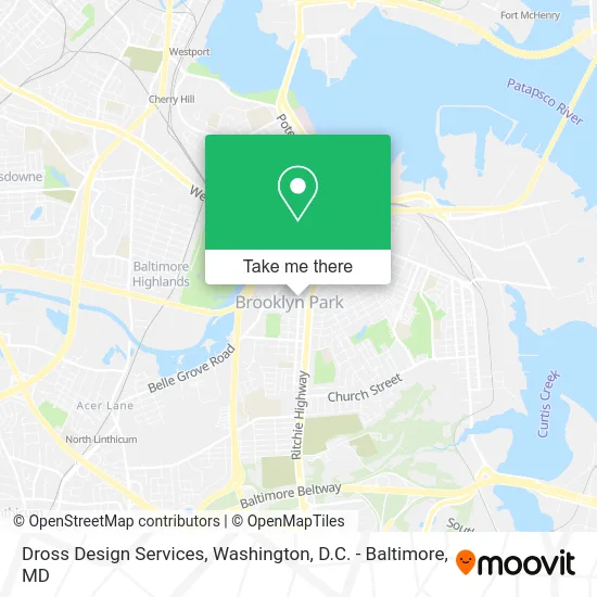
See Dross Design Services, Anne Arundel County, on the map
Public Transit to Dross Design Services in Anne Arundel County
Wondering how to get to Dross Design Services in Anne Arundel County? Moovit helps you find the best way to get to Dross Design Services with step-by-step directions from the nearest public transit station.
Moovit provides free maps and live directions to help you navigate through your city. View schedules, routes, timetables, and find out how long does it take to get to Dross Design Services in real time.
Looking for the nearest stop or station to Dross Design Services? Check out this list of stops closest to your destination: Ritchie Hwy & 5th Ave Sb; Ritchie Hwy & 3rd Ave Sb FS; Cherry Hill.
Bus: 69, 70.
Want to see if there’s another route that gets you there at an earlier time? Moovit helps you find alternative routes or times. Get directions from and directions to Dross Design Services easily from the Moovit App or Website.
We make riding to Dross Design Services easy, which is why over 1.5 million users, including users in Anne Arundel County, trust Moovit as the best app for public transit. You don’t need to download an individual bus app or train app, Moovit is your all-in-one transit app that helps you find the best bus time or train time available.
For information on prices of bus and light rail, costs and ride fares to Dross Design Services, please check the Moovit app.
Use the app to navigate to popular places including to the airport, hospital, stadium, grocery store, mall, coffee shop, school, college, and university.
Dross Design Services Address: 4th Ave Brooklyn, MD 21225 street in Anne Arundel County
- Jr & Mundo Landscaping,
- Clear View Tree Services,
- Prostream Plumbing,
- Inposition HR Consulting,
- Brooklyn Park, Maryland,
- Happel Daycare,
- Brooklyn Park MD USA,
- J Kenton Auction Service,
- Computer Technology Solutions,
- Ritchie Hwy & Edison St,
- Thornhill Renovations,
- Blaze Culinary,
- T Dash Birds,
- Mr Get You Clean,
- Atención Primaria en Salud,
- Liberty Tree & Landscaping Services,
- Blue Ladder Home Impro,
- Impact Locksmith,
- Credit Union 1,
- Brooklyn Park Church of the United Brethren in Christ
Places Near Dross Design Services (Anne Arundel County)
- Basilica of the National Shrine, Washington,
- Warner Theatre, Washington,
- Sibley Memorial Hospital, Washington,
- Marriott Marquis Washington, DC, Washington,
- M&T Bank Stadium, Baltimore,
- Camden Yards, Baltimore,
- Capital One Arena, Washington,
- Georgetown, Washington,
- Westfield Montgomery Mall, Montgomery County,
- The Anthem, Washington,
- National Zoo, Washington,
- PG Mall, Prince George's County,
- Washington DC VA Medical Center, Washington,
- Washington National Cathedral, Washington,
- National Mall, Washington,
- Amazon Hq2, Arlington County,
- Museum Of The Bible, Washington,
- National Museum of African American History and Culture, Washington,
- Pennsylvania Ave NW (3rd st and pennsylvania), Washington,
- Rock Creek Tennis Center, Washington
How to get to popular places in Washington, D.C. - Baltimore, MD with public transit
Get around Anne Arundel County by public transit!
Traveling around Anne Arundel County has never been so easy. See step by step directions as you travel to any attraction, street or major public transit station. View bus and train schedules, arrival times, service alerts and detailed routes on a map, so you know exactly how to get to anywhere in Anne Arundel County.
When traveling to any destination around Anne Arundel County use Moovit's Live Directions with Get Off Notifications to know exactly where and how far to walk, how long to wait for your line, and how many stops are left. Moovit will alert you when it's time to get off — no need to constantly re-check whether yours is the next stop.
Wondering how to use public transit in Anne Arundel County or how to pay for public transit in Anne Arundel County? Moovit public transit app can help you navigate your way with public transit easily, and at minimum cost. It includes public transit fees, ticket prices, and costs. Looking for a map of Anne Arundel County public transit lines? Moovit public transit app shows all public transit maps in Anne Arundel County with all Bus, Train, Metro, Light Rail and Ferry routes and stops on an interactive map.
Washington, D.C. - Baltimore, MD has 5 transit type(s), including: Bus, Train, Metro, Light Rail and Ferry, operated by several transit agencies, including WMATA, Montgomery County Ride On, Fairfax Connector, TheBus, PRTC, DASH - Alexandria, Arlington Transit (ART), RTA of Central Maryland, MDOT MTA, MDOT MTA Light RailLink, MDOT MTA Commuter Bus, MDOT MTA Local Bus, FXBGO!, Virginia Railway Express (VRE) and MARC