Drynam stop - Saturday schedule
| Line | Direction | Time |
|---|---|---|
| 43 | Talbot Street | 6:10 AM |
| 43 | Talbot Street | 7:01 AM |
| 43 | Talbot Street | 8:23 AM |
| 43 | Talbot Street | 9:13 AM |
| 43 | Talbot Street | 10:05 AM |
| 43 | Talbot Street | 10:55 AM |
| 43 | Talbot Street | 11:48 AM |
| 43 | Talbot Street | 12:38 PM |
| 43 | Talbot Street | 1:28 PM |
| 43 | Talbot Street | 2:18 PM |
| 43 | Talbot Street | 3:09 PM |
| 43 | Talbot Street | 4:01 PM |
| 43 | Talbot Street | 4:47 PM |
| 43 | Talbot Street | 5:37 PM |
| 43 | Talbot Street | 6:27 PM |
| 43 | Talbot Street | 7:16 PM |
| 43 | Talbot Street | 8:16 PM |
| 43 | Talbot Street | 9:13 PM |
| 43 | Talbot Street | 10:13 PM |
| 43 | Talbot Street | 11:13 PM |
Directions to Drynam stop (Kinsaley) with public transit
The following transit lines have routes that pass near Drynam
 Bus: 102, 43, 41X, 142, 500.
- Train: DART, RAIL, RAIL.
How to get to Drynam stop by bus?
Click on the bus route to see step by step directions with maps, line arrival times and updated time schedules.
Bus stops near Drynam stop in Kinsaley
- Mount Drinan, 4 min walk,
- Holywell Close, 5 min walk,
- Holywell View, 8 min walk,
- Feltrim Business Pk, 11 min walk,
Train stations near Drynam station in Kinsaley
- Malahide, 62 min walk,
Bus lines to Drynam stop in Kinsaley
- 43, Swords Bus.Pk,
- 41X, Ucd,
- 142, Ucd,
- 500, Eden Quay,
- 500X, Eden Quay,
- 501, Eden Quay,
- 502, Eden Quay,
- 503, Merrion Sq South,
- 505, Eden Quay,
- 506X, Eden Quay,
- 507, Eden Quay,
- 506, Ormond Avenue,
- 102, Sutton Stn,
What are the closest stations to Drynam?
The closest stations to Drynam are:
- Mount Drinan stop is 246 meters away, 4 min walk.
- Holywell Close stop is 320 meters away, 5 min walk.
- Holywell View stop is 561 meters away, 8 min walk.
- Feltrim Business Pk stop is 866 meters away, 11 min walk.
- Malahide station is 4870 meters away, 62 min walk.
Which bus lines stop near Drynam?
These bus lines stop near Drynam: 102, 43.
What’s the nearest bus station to Drynam in Kinsaley?
The nearest bus station to Drynam in Kinsaley is Mount Drinan. It’s a 4 min walk away.
What time is the first train to Drynam in Kinsaley?
The DART is the first train that goes to Drynam in Kinsaley. It stops nearby at 6:20 AM.
What time is the last train to Drynam in Kinsaley?
The RAIL is the last train that goes to Drynam in Kinsaley. It stops nearby at 12:13 AM.
What time is the first bus to Drynam in Kinsaley?
The 102 is the first bus that goes to Drynam in Kinsaley. It stops nearby at 6:09 AM.
What time is the last bus to Drynam in Kinsaley?
The 102 is the last bus that goes to Drynam in Kinsaley. It stops nearby at 12:13 AM.
Drynam station
 Taken by Anonymous
See Drynam stop, Kinsaley, on the map
Public transit to Drynam stop (ID: 3657) in Kinsaley
Looking for directions to Drynam in Kinsaley, Ireland?
Download the Moovit App to find the current schedule and step-by-step directions for Bus routes that pass through Drynam.
Looking for the nearest stops closest to Drynam ? Check out this list of closest stops to your destination: Mount Drinan; Holywell Close; Holywell View; Feltrim Business Pk; Malahide.
Bus: 102, 43, 41X, 142, 500, 500X, 501, 506.Train: DART, RAIL, RAIL.
We make riding on public transit to Drynam easy, which is why over 1.7 billion users, including users in Kinsaley trust Moovit as the best app for public transit.
Use the app to navigate to popular places including to the airport, hospital, stadium, grocery store, mall, coffee shop, school, college, and university.
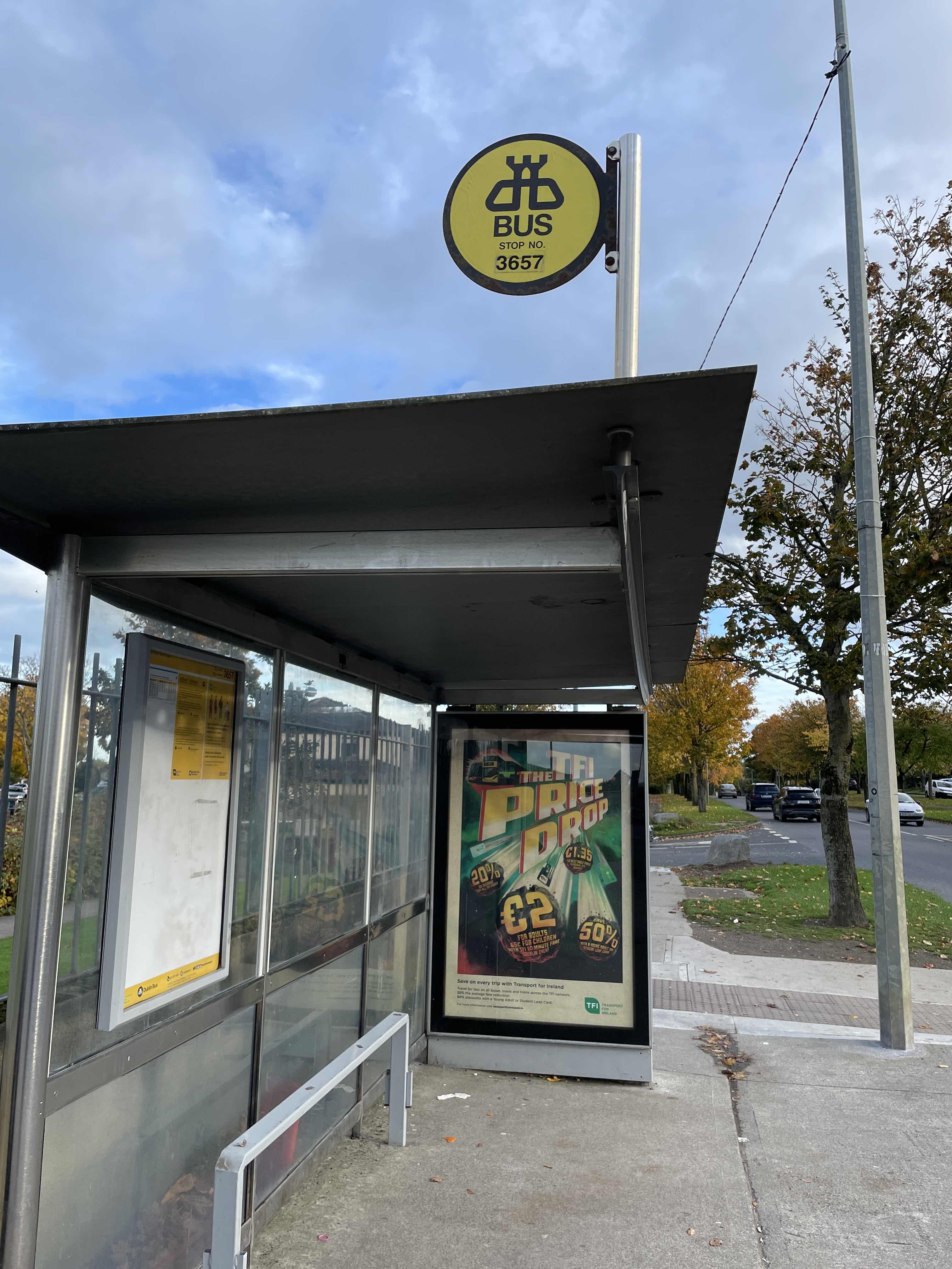
Drynam stop’s code is 3657
The first line to this stop is 43, at 6:10 AM, and the last line is 43 at 11:13 PM.
This stop serves Bus Átha Cliath – Dublin Bus’s lines
Popular routes from Drynam stop, Kinsaley
- Mount Drinan,
- Holywell Close,
- Holywell View,
- Feltrim Business Pk
Bus stops near Drynam stop
- Malahide
Train station near Drynam station
- Ardcavan B Pk,
- O'Connell St Upper,
- Monkstown, Monkstown Church,
- Kenilworth Park,
- Convent Road,
- Cooley Road,
- Bushypark,
- Blanchardstown N3,
- Rockview,
- High Street,
- Lindisfarne Avenue,
- Mac Uilliam,
- Ringsend Village,
- Eden Quay,
- S Curran Ave,
- Snipe Lawn,
- Mt Carmel Hospl,
- Shannon Airport,
- Hyde Road,
- Garristown
Popular public transit stations in Kinsaley
Get around Kinsaley by public transit!
Traveling around Kinsaley has never been so easy. See step by step directions as you travel to any attraction, street or major public transit station. View bus and train schedules, arrival times, service alerts and detailed routes on a map, so you know exactly how to get to anywhere in Kinsaley.
When traveling to any destination around Kinsaley use Moovit's Live Directions with Get Off Notifications to know exactly where and how far to walk, how long to wait for your line, and how many stops are left. Moovit will alert you when it's time to get off — no need to constantly re-check whether yours is the next stop.
Wondering how to use public transit in Kinsaley or how to pay for public transit in Kinsaley? Moovit public transit app can help you navigate your way with public transit easily, and at minimum cost. It includes public transit fees, ticket prices, and costs. Looking for a map of Kinsaley public transit lines? Moovit public transit app shows all public transit maps in Kinsaley with all Bus, Train and Light Rail routes and stops on an interactive map.
Ireland has 3 transit type(s), including: Bus, Train and Light Rail, operated by several transit agencies, including Luas, Bus Átha Cliath – Dublin Bus, Bus Éireann, Go-Ahead Ireland, Nitelink, Dublin Bus, Citylink, City Direct, Kenneally's Bus Service, Aircoach, TFI Local Link Mayo, Irish Rail, Express Bus, JJ/Bernard Kavanagh, Dublin Coach and Kearns Transport