How to get to Dynamic Utility Resources by bus?
Click on the bus route to see step by step directions with maps, line arrival times and updated time schedules.
From Carderock Division of the Naval Surface Warfare Center, Montgomery County
124 minFrom George H.W. Bush Center For Intelligence (CIA Headquarters), Fairfax County
105 minFrom Reston Town Center, Fairfax County
58 minFrom Inova Fair Oaks Hospital, Fairfax County
53 minFrom Defense Health Headquarters (DHHQ), Fairfax County
61 minFrom McLean, Virginia, Fairfax County
60 minFrom George Mason University, Fairfax County
54 minFrom Eden Center, Falls Church
62 minFrom Inova employee Shuttle, Fairfax County
54 min
How to get to Dynamic Utility Resources by metro?
Click on the metro route to see step by step directions with maps, line arrival times and updated time schedules.
Bus stops near Dynamic Utility Resources in Fairfax County
Metro stations near Dynamic Utility Resources in Fairfax County
Bus lines to Dynamic Utility Resources in Fairfax County
What are the closest stations to Dynamic Utility Resources?
The closest stations to Dynamic Utility Resources are:
- Maple Ave@ Glyndon St is 379 yards away, 5 min walk.
- Spring Hill is 386 yards away, 5 min walk.
- Maple Ave @ Park St is 491 yards away, 6 min walk.
- Vienna Metro Station is 529 yards away, 7 min walk.
Which bus lines stop near Dynamic Utility Resources?
These bus lines stop near Dynamic Utility Resources: 461, 463, 467.
Which metro line stops near Dynamic Utility Resources?
SILVER (Largo)
What’s the nearest metro station to Dynamic Utility Resources in Fairfax County?
The nearest metro station to Dynamic Utility Resources in Fairfax County is Spring Hill. It’s a 5 min walk away.
What’s the nearest bus station to Dynamic Utility Resources in Fairfax County?
The nearest bus station to Dynamic Utility Resources in Fairfax County is Maple Ave@ Glyndon St. It’s a 5 min walk away.
What time is the first metro to Dynamic Utility Resources in Fairfax County?
The ORANGE is the first metro that goes to Dynamic Utility Resources in Fairfax County. It stops nearby at 5:00 AM.
What time is the last metro to Dynamic Utility Resources in Fairfax County?
The SILVER is the last metro that goes to Dynamic Utility Resources in Fairfax County. It stops nearby at 12:43 AM.
What time is the first bus to Dynamic Utility Resources in Fairfax County?
The 463 is the first bus that goes to Dynamic Utility Resources in Fairfax County. It stops nearby at 5:12 AM.
What time is the last bus to Dynamic Utility Resources in Fairfax County?
The 463 is the last bus that goes to Dynamic Utility Resources in Fairfax County. It stops nearby at 11:42 PM.
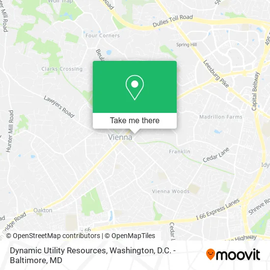
See Dynamic Utility Resources, Fairfax County, on the map
Public Transit to Dynamic Utility Resources in Fairfax County
Wondering how to get to Dynamic Utility Resources in Fairfax County? Moovit helps you find the best way to get to Dynamic Utility Resources with step-by-step directions from the nearest public transit station.
Moovit provides free maps and live directions to help you navigate through your city. View schedules, routes, timetables, and find out how long does it take to get to Dynamic Utility Resources in real time.
Looking for the nearest stop or station to Dynamic Utility Resources? Check out this list of stops closest to your destination: Maple Ave@ Glyndon St; Spring Hill; Maple Ave @ Park St; Vienna Metro Station.
Bus: 461, 463, 467.Metro: SILVER, ORANGE.
Want to see if there’s another route that gets you there at an earlier time? Moovit helps you find alternative routes or times. Get directions from and directions to Dynamic Utility Resources easily from the Moovit App or Website.
We make riding to Dynamic Utility Resources easy, which is why over 1.5 million users, including users in Fairfax County, trust Moovit as the best app for public transit. You don’t need to download an individual bus app or train app, Moovit is your all-in-one transit app that helps you find the best bus time or train time available.
For information on prices of bus and metro, costs and ride fares to Dynamic Utility Resources, please check the Moovit app.
Use the app to navigate to popular places including to the airport, hospital, stadium, grocery store, mall, coffee shop, school, college, and university.
Dynamic Utility Resources Address: 214 Locust St SE Vienna, VA 22180 street in Fairfax County
- Kingstowne Cat Clinic,
- Veterinary Surgical Centers - VSC,
- Navy Federal Credit Union,
- Real Men Wear Pink of Fauquier County,
- 4u Nails,
- Mattress Warehouse of Vienna,
- Avery Anna,
- Moontower,
- Greyson Chance,
- Jammin Java,
- MYGYM,
- Call Your Mother Deli - Vienna,
- Citi,
- Chili Wok,
- Crumbl Cookies - Vienna,
- Adele C. Brandmark, NP,
- Day-Lux Mobile Spa,
- Touch of Beauty,
- DMV Detailing,
- Residential Locksmith Vienna
Places Near Dynamic Utility Resources (Fairfax County)
- Sibley Memorial Hospital, Washington,
- Basilica of the National Shrine, Washington,
- National Zoo, Washington,
- Georgetown, Washington,
- Amazon Hq2, Arlington County,
- National Museum of African American History and Culture, Washington,
- Marriott Marquis Washington, DC, Washington,
- Pennsylvania Ave NW (3rd st and pennsylvania), Washington,
- National Mall, Washington,
- Rock Creek Tennis Center, Washington,
- Washington National Cathedral, Washington,
- Capital One Arena, Washington,
- M&T Bank Stadium, Baltimore,
- The Anthem, Washington,
- Westfield Montgomery Mall, Montgomery County,
- Museum Of The Bible, Washington,
- PG Mall, Prince George's County,
- Washington DC VA Medical Center, Washington,
- Camden Yards, Baltimore,
- Warner Theatre, Washington
How to get to popular places in Washington, D.C. - Baltimore, MD with public transit
Get around Fairfax County by public transit!
Traveling around Fairfax County has never been so easy. See step by step directions as you travel to any attraction, street or major public transit station. View bus and train schedules, arrival times, service alerts and detailed routes on a map, so you know exactly how to get to anywhere in Fairfax County.
When traveling to any destination around Fairfax County use Moovit's Live Directions with Get Off Notifications to know exactly where and how far to walk, how long to wait for your line, and how many stops are left. Moovit will alert you when it's time to get off — no need to constantly re-check whether yours is the next stop.
Wondering how to use public transit in Fairfax County or how to pay for public transit in Fairfax County? Moovit public transit app can help you navigate your way with public transit easily, and at minimum cost. It includes public transit fees, ticket prices, and costs. Looking for a map of Fairfax County public transit lines? Moovit public transit app shows all public transit maps in Fairfax County with all Bus, Train, Metro, Light Rail and Ferry routes and stops on an interactive map.
Washington, D.C. - Baltimore, MD has 5 transit type(s), including: Bus, Train, Metro, Light Rail and Ferry, operated by several transit agencies, including WMATA, Montgomery County Ride On, Fairfax Connector, TheBus, PRTC, DASH - Alexandria, Arlington Transit (ART), RTA of Central Maryland, MDOT MTA, MDOT MTA Light RailLink, MDOT MTA Commuter Bus, MDOT MTA Local Bus, FXBGO!, Virginia Railway Express (VRE) and MARC