ESPM | ABIN stop - Friday schedule
| Line | Direction | Time |
|---|---|---|
| 035.1 | |CORUJÃO| Rod.P.Piloto / Guará / N. Bandeirante / R. Fundo I / Candangolândia | 4:07 AM |
| 0.932 | |CORUJÃO| Rod. Taguatinga / Praça do Relógio | 4:23 AM |
| 158.1 | Rod.P.Piloto «» Cidade Estrutural (W3 Sul / F. Importados / SIA) | 5:00 AM |
| 158.1 | Rod.P.Piloto «» Cidade Estrutural (W3 Sul / F. Importados / SIA) | 5:12 AM |
| 158.1 | Rod.P.Piloto «» Cidade Estrutural (W3 Sul / F. Importados / SIA) | 5:24 AM |
| 158.1 | Rod.P.Piloto «» Cidade Estrutural (W3 Sul / F. Importados / SIA) | 5:36 AM |
| 0.016 | Term. Asa Sul «» Noroeste (SIG / Palácio do Buriti / St. Policial) | 5:44 AM |
| 158.1 | Rod.P.Piloto «» Cidade Estrutural (W3 Sul / F. Importados / SIA) | 5:48 AM |
| 158.1 | Rod.P.Piloto «» Cidade Estrutural (W3 Sul / F. Importados / SIA) | 6:00 AM |
| 383.4 | |SEMIEXPRESSO| S. Nascente Tr. 1 (via QNL-QNJ) | 6:02 AM |
| 0.553 | |SEMIEXPRESSO| Exp. Setor O «» W3 Sul (Guariroba / P2 Norte / SIG) | 6:07 AM |
| 158.1 | Rod.P.Piloto «» Cidade Estrutural (W3 Sul / F. Importados / SIA) | 6:12 AM |
| 2304 | ÁGUAS LINDAS / SANTA LÚCIA ( Desvio - Bloqueio BR 070) | 6:14 AM |
| 0.016 | Term. Asa Sul «» Noroeste (SIG / Palácio do Buriti / St. Policial) | 6:14 AM |
| 383.4 | |SEMIEXPRESSO| S. Nascente Tr. 1 (via QNL-QNJ) | 6:17 AM |
| 0.150 | Rod.P.Piloto «» Cruzeiro (via Eixo Sul) | 6:18 AM |
| 0.553 | |SEMIEXPRESSO| Exp. Setor O «» W3 Sul (Guariroba / P2 Norte / SIG) | 6:23 AM |
| 0.162 | Guará II (ParkShopping / QE 42-58) | 6:23 AM |
| 158.1 | Rod.P.Piloto «» Cidade Estrutural (W3 Sul / F. Importados / SIA) | 6:24 AM |
| 0.156 | Guará II - I «» SIG / W3 Sul | 6:25 AM |
| 0.556 | |SEMIEXPRESSO| QNQ-QNR / P2 Norte (via Leste) | 6:28 AM |
| 2015 | ÁGUAS LINDAS / VIA EIXO SUL / PINHEIRO 2 ( Desvio - Bloqueio BR 070 ) | 6:28 AM |
| 2302 | ÁGUAS LINDAS (CHIOLA / M. DA SERRA) | DESVIO H. PRATES | 6:29 AM |
| 383.4 | |SEMIEXPRESSO| S. Nascente Tr. 1 (via QNL-QNJ) | 6:32 AM |
| 0.163 | N. Bandeirante «» W3 Sul (SIG / ParkShopping) | 6:33 AM |
Directions to ESPM | ABIN stop (Brasília) with public transit
The following transit lines have routes that pass near ESPM | ABIN
 Bus: 0.156, 0.167, 0.556, 153.2, 162.2.
- Subway: LARANJA, VERDE.
How to get to ESPM | ABIN stop by bus?
Click on the bus route to see step by step directions with maps, line arrival times and updated time schedules.
How to get to ESPM | ABIN stop by subway?
Click on the subway route to see step by step directions with maps, line arrival times and updated time schedules.
Bus stops near ESPM | ABIN stop in Brasília
- ESPM | ABIN, 4 min walk,
- Corredor ESPM | ABIN (Sentido Tag.), 4 min walk,
- ESPM | Quartel General da Polícia Militar, 6 min walk,
- EPIG | Passarela da Octogonal, 15 min walk,
- AOS 4, 17 min walk,
- AOS 4 | CIMAN, 19 min walk,
Subway stations near ESPM | ABIN station in Brasília
- Asa Sul, 36 min walk,
Bus lines to ESPM | ABIN stop in Brasília
- 0.016, Term. Asa Sul «» Noroeste (SIG / Palácio do Buriti / St. Policial),
- 0.150, Rod.P.Piloto «» Cruzeiro (via Eixo Sul),
- 0.153, Rod.P.Piloto / Eixo Sul (Setor Policial),
- 0.162, Guará II (ParkShopping / QE 42-58),
- 0.167, Guará I - II,
- 0.199, São Sebastião (via Ponte H. Guimarães),
- 0.338, |SEMIEXPRESSO| L2 Sul/Norte (UnB),
- 0.348, |SEMIEXPRESSO| L2 Sul/Norte (UnB),
- 035.1, |CORUJÃO| Rod.P.Piloto / Guará / N. Bandeirante / R. Fundo I / Candangolândia,
- 0.391, W3 Sul/Norte (ParkShopping),
- 0.420, Rod.P.Piloto (via Jockey / Setor Policial),
- 0.424, Brazlândia / Rodeador (via Estrutural),
- 0.556, |SEMIEXPRESSO| QNQ-QNR / P2 Norte (via Leste),
- 0.558, |SEMEXPRESSO| Ceil. Sul-Norte / Setor O²,
- 0.811, W3 Sul/Norte (ParkShopping),
- 0.932, |CORUJÃO| Rod. Taguatinga / Praça do Relógio,
- 0.946, Rod.P.Piloto (via Eixo Sul),
- 0.953, Vicente Pires,
- 151.2, Cruzeiro / Octogonal «» W3 Sul-Norte / Noroeste,
- 153.2, Rod.P.Piloto «» Guará I - II (via Eixo Sul / St. Policial / Av. Contorno),
What are the closest stations to ESPM | ABIN?
The closest stations to ESPM | ABIN are:
- ESPM | ABIN stop is 236 meters away, 4 min walk.
- Corredor ESPM | ABIN (Sentido Tag.) stop is 277 meters away, 4 min walk.
- ESPM | Quartel General da Polícia Militar stop is 405 meters away, 6 min walk.
- EPIG | Passarela da Octogonal stop is 1170 meters away, 15 min walk.
- AOS 4 stop is 1317 meters away, 17 min walk.
- AOS 4 | CIMAN stop is 1483 meters away, 19 min walk.
- Asa Sul station is 2831 meters away, 36 min walk.
Which bus lines stop near ESPM | ABIN?
These bus lines stop near ESPM | ABIN: 0.156, 0.167, 0.556, 153.2, 162.2, 2091, 383.4, 391.3, 396.3.
Which subway lines stop near ESPM | ABIN?
These subway lines stop near ESPM | ABIN: LARANJA, VERDE.
What’s the nearest bus station to ESPM | ABIN in Brasília?
The nearest bus stations to ESPM | ABIN in Brasília are ESPM | ABIN and Corredor ESPM | ABIN (Sentido Tag.). The closest one is a 4 min walk away.
What time is the first subway to ESPM | ABIN in Brasília?
The LARANJA is the first subway that goes to ESPM | ABIN in Brasília. It stops nearby at 5:39 AM.
What time is the last subway to ESPM | ABIN in Brasília?
The VERDE is the last subway that goes to ESPM | ABIN in Brasília. It stops nearby at 12:09 AM.
What time is the first bus to ESPM | ABIN in Brasília?
The 0.932 is the first bus that goes to ESPM | ABIN in Brasília. It stops nearby at 3:48 AM.
What time is the last bus to ESPM | ABIN in Brasília?
The 035.1 is the last bus that goes to ESPM | ABIN in Brasília. It stops nearby at 3:57 AM.
ESPM | ABIN station
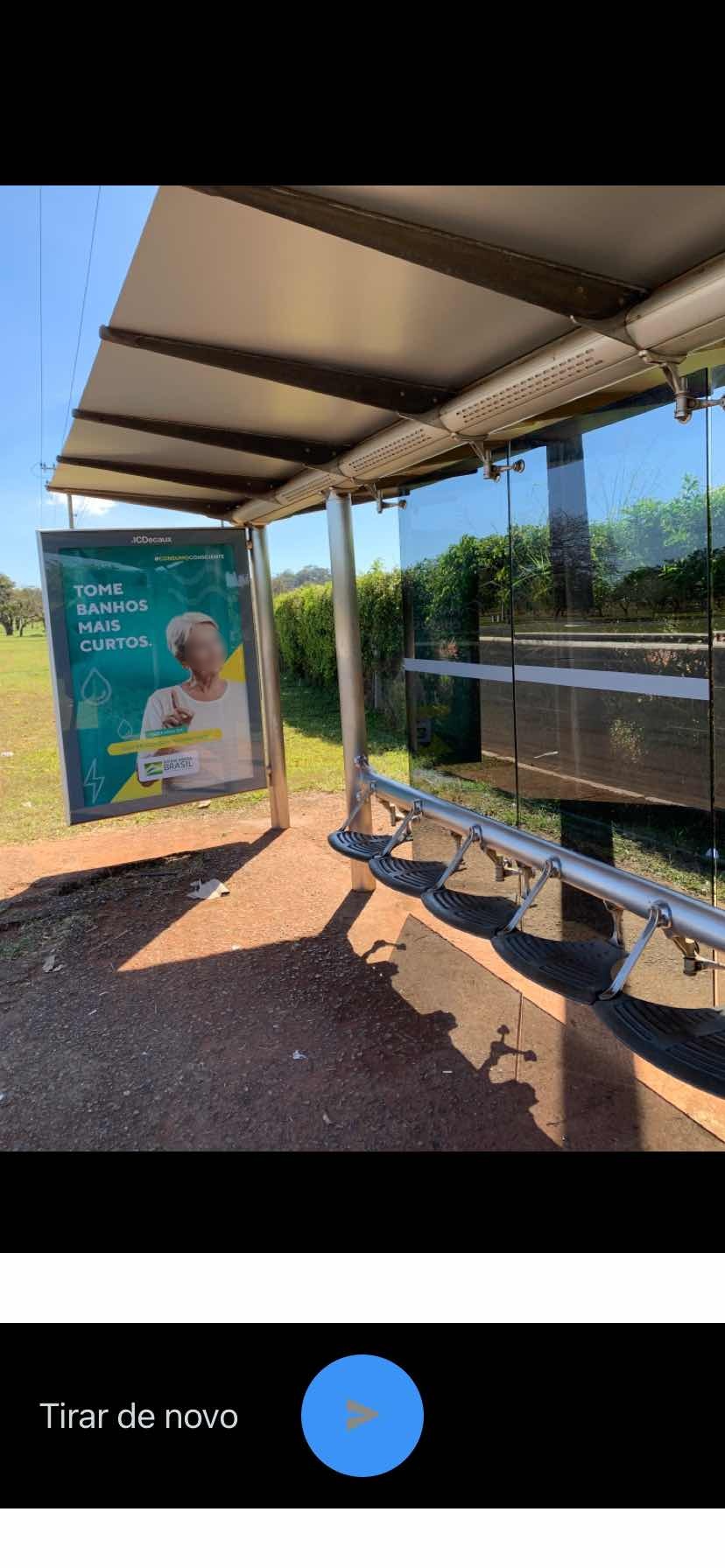 Taken by Elton G.
See ESPM | ABIN stop, Brasília, on the map
Public transit to ESPM | ABIN stop (ID: 3750) in Brasília
Looking for directions to ESPM | ABIN in Brasília, Brazil?
Download the Moovit App to find the current schedule and step-by-step directions for Bus or Subway routes that pass through ESPM | ABIN.
Looking for the nearest stops closest to ESPM | ABIN ? Check out this list of closest stops to your destination: ESPM | ABIN; Corredor ESPM | ABIN (Sentido Tag.); ESPM | Quartel General da Polícia Militar; EPIG | Passarela da Octogonal; AOS 4; AOS 4 | CIMAN; Asa Sul.
Bus: 0.156, 0.167, 0.556, 153.2, 162.2, 2091, 383.4, 391.3, 396.3, 0.016, 0.150, 0.153, 0.162, 0.300, 0.301, 0.305, 0.306, 0.310, 0.151, 0.163, 0.166, 0.177, 0.810, 0.882, 0.962, 156.5, 156.6, 0.024, 0.025, 0.035, 025.1.Subway: LARANJA, VERDE.
We make riding on public transit to ESPM | ABIN easy, which is why over 1.7 billion users, including users in Brasília trust Moovit as the best app for public transit.
Use the app to navigate to popular places including to the airport, hospital, stadium, grocery store, mall, coffee shop, school, college, and university.
ESPM | ABIN stop’s code is 3750
The first line to this stop is 035.1, at 4:07 AM, and the last line is 0.932 at 2:53 AM.
This stop serves Área 4 - Marechal, Área 5 - BsBus Mobilidade, Área 3 - Urbi, Taguatur (SEMIURBANO), UTB - União Transporte Brasília (SEMIURBANO), Área 2 - Pioneira and Área 1 - Piracicabana’s lines
- ESPM | ABIN,
- Corredor ESPM | ABIN (Sentido Tag.),
- ESPM | Quartel General da Polícia Militar,
- EPIG | Passarela da Octogonal,
- AOS 4,
- AOS 4 | CIMAN
Bus stops near ESPM | ABIN stop
- Asa Sul
Subway station near ESPM | ABIN station
- Granja Do Torto | Igreja,
- Br 040 - Entrada De Luziania (Sentido Brasília),
- Df-290 | Gama Setor Sul, Cl 8,
- Nova Petrópolis,
- EPTG | Unieuro / Costa Atacadista,
- Centro, Rua 58/59 (Papiu),
- DF-290 | Ultrabox / Tático,
- BR-251 | Zumbi dos Palmares, Ch. 9,
- Hfab,
- Av. Paranoá | Qd. 08 (Paróquia N. Sra. dos Pobres),
- Via Estrutural | Castelo Forte,
- DF-180 | Embrapa Hortaliças (Sentido Gama),
- H. Prates | Estação Ceilândia Centro / Fort Atacadista,
- Via Ns-1 | Caps / Policlinica De Planaltina,
- Via Leste - Eqnm 5/7 (Superm. Guarapari),
- EPIA | Estação BRT Park Way / Floriculturas,
- Pistão Sul | Solo Sagrado / CEUB / Petz,
- ESPM | Bombeiros,
- Marginal EPIA | Candangolândia,
- Hospital SARAH Lago Norte
Popular public transit stations in Brasília
Get around Brasília by public transit!
Traveling around Brasília has never been so easy. See step by step directions as you travel to any attraction, street or major public transit station. View bus and train schedules, arrival times, service alerts and detailed routes on a map, so you know exactly how to get to anywhere in Brasília.
When traveling to any destination around Brasília use Moovit's Live Directions with Get Off Notifications to know exactly where and how far to walk, how long to wait for your line, and how many stops are left. Moovit will alert you when it's time to get off — no need to constantly re-check whether yours is the next stop.
Wondering how to use public transit in Brasília or how to pay for public transit in Brasília? Moovit public transit app can help you navigate your way with public transit easily, and at minimum cost. It includes public transit fees, ticket prices, and costs. Looking for a map of Brasília public transit lines? Moovit public transit app shows all public transit maps in Brasília with all Bus and Subway routes and stops on an interactive map.
Brasilia Region has 2 transit type(s), including: Bus and Subway, operated by several transit agencies, including Metrô DF, Área 3 - Urbi, Área 2 - Pioneira, Área 1 - Piracicabana, Área 4 - Marechal, Área 5 - BsBus Mobilidade, STPCR - Serviço de Transporte Público Complementar Rural, TCB, Coobrataete, SEMOB - Secretaria de Transporte e Mobilidade do Distrito Federal, Expresso Planalto (MUNICIPAL), Amazônia Inter - (SEMIURBANO), Rede SARAH de Hospitais, Catedral (SEMIURBANO) and CT Expresso (SEMIURBANO)