How to get to Easterseals Child Development Center by bus?
Click on the bus route to see step by step directions with maps, line arrival times and updated time schedules.
From Adams Morgan, Washington
37 minFrom Embassy of the Philippines DC USA, Washington
39 minFrom Dunbar High School, Washington
66 minFrom Washington Hilton, Washington
44 minFrom National Institutes of Health (NIH), Montgomery County
38 minFrom PG Mall, Prince George's County
49 minFrom Tatte Bakery & Café, Washington
46 minFrom Holiday Inn-Washington Central, Washington
40 minFrom Tabard Inn, Washington
43 minFrom Providence Hospital, Washington
60 min
How to get to Easterseals Child Development Center by train?
Click on the train route to see step by step directions with maps, line arrival times and updated time schedules.
How to get to Easterseals Child Development Center by metro?
Click on the metro route to see step by step directions with maps, line arrival times and updated time schedules.
From Adams Morgan, Washington
50 minFrom Embassy of the Philippines DC USA, Washington
40 minFrom Dunbar High School, Washington
39 minFrom Washington Hilton, Washington
45 minFrom National Institutes of Health (NIH), Montgomery County
54 minFrom PG Mall, Prince George's County
31 minFrom Tatte Bakery & Café, Washington
41 minFrom Holiday Inn-Washington Central, Washington
43 minFrom Tabard Inn, Washington
39 minFrom Providence Hospital, Washington
36 min
Bus stops near Easterseals Child Development Center in Montgomery County
Metro station near Easterseals Child Development Center in Montgomery County
- Takoma, 25 min walk,VIEW
Train station near Easterseals Child Development Center in Montgomery County
- Silver Spring Marc Wb, 43 min walk,VIEW
Bus lines to Easterseals Child Development Center in Montgomery County
What are the closest stations to Easterseals Child Development Center?
The closest stations to Easterseals Child Development Center are:
- 2nd Ave & Spring St is 85 yards away, 2 min walk.
- Georgia Av+Spring St is 305 yards away, 4 min walk.
- Fenwick Ln & 1st Ave is 308 yards away, 4 min walk.
- East West Hwy & Falklands La is 629 yards away, 8 min walk.
- Takoma is 2080 yards away, 25 min walk.
- Silver Spring Marc Wb is 3600 yards away, 43 min walk.
Which bus lines stop near Easterseals Child Development Center?
These bus lines stop near Easterseals Child Development Center: 28, D4X, D6X, M70, P30.
Which train line stops near Easterseals Child Development Center?
MARC (Inbound - Brunswick)
Which metro line stops near Easterseals Child Development Center?
RED (Glenmont)
What’s the nearest metro station to Easterseals Child Development Center in Montgomery County?
The nearest metro station to Easterseals Child Development Center in Montgomery County is Takoma. It’s a 25 min walk away.
What’s the nearest bus station to Easterseals Child Development Center in Montgomery County?
The nearest bus station to Easterseals Child Development Center in Montgomery County is 2nd Ave & Spring St. It’s a 2 min walk away.
What time is the first metro to Easterseals Child Development Center in Montgomery County?
The RED is the first metro that goes to Easterseals Child Development Center in Montgomery County. It stops nearby at 5:07 AM.
What time is the last metro to Easterseals Child Development Center in Montgomery County?
The RED is the last metro that goes to Easterseals Child Development Center in Montgomery County. It stops nearby at 12:31 AM.
What time is the first train to Easterseals Child Development Center in Montgomery County?
The MARC is the first train that goes to Easterseals Child Development Center in Montgomery County. It stops nearby at 5:51 AM.
What time is the last train to Easterseals Child Development Center in Montgomery County?
The MARC is the last train that goes to Easterseals Child Development Center in Montgomery County. It stops nearby at 7:37 PM.
What time is the first bus to Easterseals Child Development Center in Montgomery County?
The M20 is the first bus that goes to Easterseals Child Development Center in Montgomery County. It stops nearby at 4:17 AM.
What time is the last bus to Easterseals Child Development Center in Montgomery County?
The 5 is the last bus that goes to Easterseals Child Development Center in Montgomery County. It stops nearby at 2:06 AM.
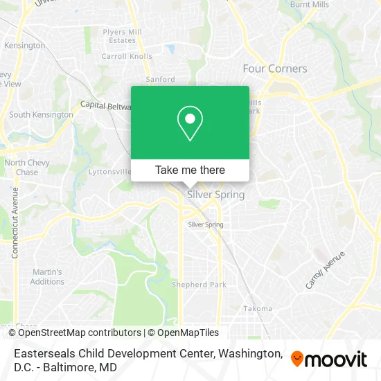
See Easterseals Child Development Center, Montgomery County, on the map
Public Transit to Easterseals Child Development Center in Montgomery County
Wondering how to get to Easterseals Child Development Center in Montgomery County? Moovit helps you find the best way to get to Easterseals Child Development Center with step-by-step directions from the nearest public transit station.
Moovit provides free maps and live directions to help you navigate through your city. View schedules, routes, timetables, and find out how long does it take to get to Easterseals Child Development Center in real time.
Looking for the nearest stop or station to Easterseals Child Development Center? Check out this list of stops closest to your destination: 2nd Ave & Spring St; Georgia Av+Spring St; Fenwick Ln & 1st Ave; East West Hwy & Falklands La; Takoma; Silver Spring Marc Wb.
Bus: 28, D4X, D6X, M70, P30, 1, 4, 5, 11, 18, M20, 2.Train: MARC.Metro: RED.
Want to see if there’s another route that gets you there at an earlier time? Moovit helps you find alternative routes or times. Get directions from and directions to Easterseals Child Development Center easily from the Moovit App or Website.
We make riding to Easterseals Child Development Center easy, which is why over 1.5 million users, including users in Montgomery County, trust Moovit as the best app for public transit. You don’t need to download an individual bus app or train app, Moovit is your all-in-one transit app that helps you find the best bus time or train time available.
For information on prices of metro, bus and train, costs and ride fares to Easterseals Child Development Center, please check the Moovit app.
Use the app to navigate to popular places including to the airport, hospital, stadium, grocery store, mall, coffee shop, school, college, and university.
Easterseals Child Development Center Address: 1420 Spring St Silver Spring, MD 20910 street in Montgomery County
- Steven A. Cohen Military Family Clinic at Easterseals,
- Green Dentistry,
- Corporate Concierg,
- Dr Bunnag,
- Equus Workforce Solutions,
- A Garage Door Repair,
- LADO International Institute,
- Dollface Beaut,
- Eurocrystal Collection,
- Atlantic Gems,
- Parenting on Call,
- Support Services International,
- Michael Rottenberg CPA,
- Chough Phillip Kwan Young CPA,
- Bes DC,
- Murray Osorio,
- Dr. Lisa Newell,
- Artlllex Tattoo,
- District Laser,
- Thomas Coughlin LCPC NCC
Places Near Easterseals Child Development Center (Montgomery County)
- M&T Bank Stadium, Baltimore,
- The Anthem, Washington,
- Marriott Marquis Washington, DC, Washington,
- Washington National Cathedral, Washington,
- PG Mall, Prince George's County,
- National Mall, Washington,
- Basilica of the National Shrine, Washington,
- Georgetown, Washington,
- Amazon Hq2, Arlington County,
- Westfield Montgomery Mall, Montgomery County,
- Washington DC VA Medical Center, Washington,
- Pennsylvania Ave NW (3rd st and pennsylvania), Washington,
- Capital One Arena, Washington,
- Rock Creek Tennis Center, Washington,
- Camden Yards, Baltimore,
- Sibley Memorial Hospital, Washington,
- National Zoo, Washington,
- National Museum of African American History and Culture, Washington,
- Museum Of The Bible, Washington,
- Warner Theatre, Washington
How to get to popular places in Washington, D.C. - Baltimore, MD with public transit
Get around Montgomery County by public transit!
Traveling around Montgomery County has never been so easy. See step by step directions as you travel to any attraction, street or major public transit station. View bus and train schedules, arrival times, service alerts and detailed routes on a map, so you know exactly how to get to anywhere in Montgomery County.
When traveling to any destination around Montgomery County use Moovit's Live Directions with Get Off Notifications to know exactly where and how far to walk, how long to wait for your line, and how many stops are left. Moovit will alert you when it's time to get off — no need to constantly re-check whether yours is the next stop.
Wondering how to use public transit in Montgomery County or how to pay for public transit in Montgomery County? Moovit public transit app can help you navigate your way with public transit easily, and at minimum cost. It includes public transit fees, ticket prices, and costs. Looking for a map of Montgomery County public transit lines? Moovit public transit app shows all public transit maps in Montgomery County with all Bus, Train, Metro, Light Rail and Ferry routes and stops on an interactive map.
Washington, D.C. - Baltimore, MD has 5 transit type(s), including: Bus, Train, Metro, Light Rail and Ferry, operated by several transit agencies, including WMATA, Montgomery County Ride On, Fairfax Connector, TheBus, PRTC, DASH - Alexandria, Arlington Transit (ART), RTA of Central Maryland, MDOT MTA, MDOT MTA Light RailLink, MDOT MTA Commuter Bus, MDOT MTA Local Bus, FXBGO!, Virginia Railway Express (VRE) and MARC