How to get to Easy Locksmith Co Pompano Beach by bus?
Click on the bus route to see step by step directions with maps, line arrival times and updated time schedules.
From Oakland Park Boulevard & University Drive, Plantation
40 minFrom Margate, FL, Coral Springs-Margate
54 minFrom Holiday Inn Hotel & Suites Sawgrass Mills, Plantation
66 minFrom Cam Transfer, Coral Springs-Margate
54 minFrom W Commercial Blvd & 441 (SR 7), Fort Lauderdale
52 minFrom Broward College North Campus Bldg. 48, Pompano Beach
61 minFrom Banco Davivienda sa Miami Internatl Branch, Fort Lauderdale
61 minFrom Butterfly World, Pompano Beach
43 minFrom CCA Calvary Christian Academy, Fort Lauderdale
74 minFrom AAA Century Appliance, Plantation
50 min
Bus stops near Easy Locksmith Co Pompano Beach in Coral Springs-Margate
Bus lines to Easy Locksmith Co Pompano Beach in Coral Springs-Margate
What are the closest stations to Easy Locksmith Co Pompano Beach?
The closest stations to Easy Locksmith Co Pompano Beach are:
- Coral Springs Drive/Royal Palm Boulevard is 189 yards away, 3 min walk.
- Royal Palm Boulevard/Coral Springs Drive is 259 yards away, 4 min walk.
Which bus lines stop near Easy Locksmith Co Pompano Beach?
These bus lines stop near Easy Locksmith Co Pompano Beach: 83, 88.
What’s the nearest bus station to Easy Locksmith Co Pompano Beach in Coral Springs-Margate?
The nearest bus station to Easy Locksmith Co Pompano Beach in Coral Springs-Margate is Coral Springs Drive/Royal Palm Boulevard. It’s a 3 min walk away.
What time is the first bus to Easy Locksmith Co Pompano Beach in Coral Springs-Margate?
The 83 is the first bus that goes to Easy Locksmith Co Pompano Beach in Coral Springs-Margate. It stops nearby at 5:44 AM.
What time is the last bus to Easy Locksmith Co Pompano Beach in Coral Springs-Margate?
The 88 is the last bus that goes to Easy Locksmith Co Pompano Beach in Coral Springs-Margate. It stops nearby at 11:27 PM.
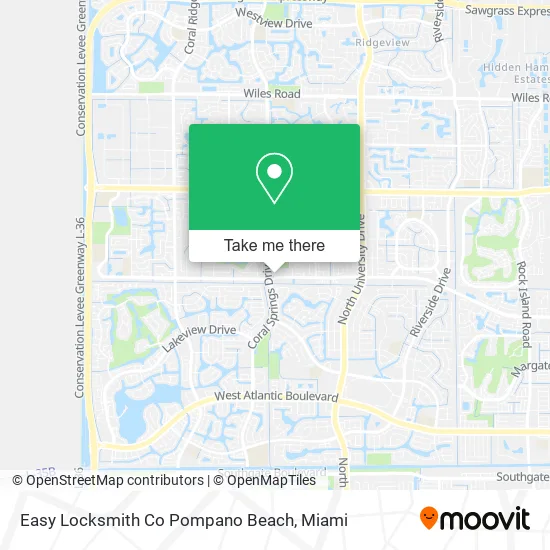
See Easy Locksmith Co Pompano Beach, Coral Springs-Margate, on the map
Public Transit to Easy Locksmith Co Pompano Beach in Coral Springs-Margate
Wondering how to get to Easy Locksmith Co Pompano Beach in Coral Springs-Margate? Moovit helps you find the best way to get to Easy Locksmith Co Pompano Beach with step-by-step directions from the nearest public transit station.
Moovit provides free maps and live directions to help you navigate through your city. View schedules, routes, timetables, and find out how long does it take to get to Easy Locksmith Co Pompano Beach in real time.
Looking for the nearest stop or station to Easy Locksmith Co Pompano Beach? Check out this list of stops closest to your destination: Coral Springs Drive/Royal Palm Boulevard; Royal Palm Boulevard/Coral Springs Drive.
Bus: 83, 88.
Want to see if there’s another route that gets you there at an earlier time? Moovit helps you find alternative routes or times. Get directions from and directions to Easy Locksmith Co Pompano Beach easily from the Moovit App or Website.
We make riding to Easy Locksmith Co Pompano Beach easy, which is why over 1.5 million users, including users in Coral Springs-Margate, trust Moovit as the best app for public transit. You don’t need to download an individual bus app or train app, Moovit is your all-in-one transit app that helps you find the best bus time or train time available.
For information on prices of bus, costs and ride fares to Easy Locksmith Co Pompano Beach, please check the Moovit app.
Use the app to navigate to popular places including to the airport, hospital, stadium, grocery store, mall, coffee shop, school, college, and university.
Easy Locksmith Co Pompano Beach Address: 10385 Royal Palm Blvd Coral Springs, FL 33065 street in Coral Springs-Margate
- COLD STONE CREAMERY,
- Latinos Multi Services,
- Amazon Locker-Prateeth,
- American Homes - Coral Springs,
- Iglesia New Generation/ Pastor Victor Jiménez,
- Kingdom of God Ministries, Int'l - Kogmi,
- CS Gym PKS Rec,
- Beat Street Dance Studio,
- USA Competitions,
- Navy Federal Credit Union,
- Al-Ways Cool Air & Mechanical,
- Almaz Appliance Repair,
- Fit Wit Fan,
- Appliance Repair U-Line Repair Service,
- Alm Sports,
- FLORIDA LOCKSMITH,
- Coral Springs D/NW 25 S,
- Central Congrgtn of JHVH's Witness -,
- The Treasure Coast, Inc,
- Lisa J Montano CPA Pa
Places Near Easy Locksmith Co Pompano Beach (Coral Springs-Margate)
- Keiser University Flagship Campus, West Palm Beach,
- Hard Rock Stadium, Miami Gardens,
- Bayside Marketplace, Miami,
- Miami-Dade County Courthouse, Miami,
- Wynwood, Miami,
- Miami Design District, Miami,
- Little Havana, Miami,
- Miami Freedom Park, Miami,
- Aventura Mall, Miami Beach,
- Aventura Mall, Miami,
- Richard E. Gerstein Justice Building, Miami,
- Brickell City Centre, Miami,
- Marlins Park, Miami,
- Dolphin Mall, Miami,
- Zoo Miami, Miami,
- 1351 NW 12th St, Miami,
- Port of Miami Cruise Terminal, Miami,
- Sawgrass Mall, Miami,
- Sawgrass mall ( FL ), Miami Beach,
- Dolphin Mall Bus, Miami
How to get to popular places in Miami with public transit
Get around Coral Springs-Margate by public transit!
Traveling around Coral Springs-Margate has never been so easy. See step by step directions as you travel to any attraction, street or major public transit station. View bus and train schedules, arrival times, service alerts and detailed routes on a map, so you know exactly how to get to anywhere in Coral Springs-Margate.
When traveling to any destination around Coral Springs-Margate use Moovit's Live Directions with Get Off Notifications to know exactly where and how far to walk, how long to wait for your line, and how many stops are left. Moovit will alert you when it's time to get off — no need to constantly re-check whether yours is the next stop.
Wondering how to use public transit in Coral Springs-Margate or how to pay for public transit in Coral Springs-Margate? Moovit public transit app can help you navigate your way with public transit easily, and at minimum cost. It includes public transit fees, ticket prices, and costs. Looking for a map of Coral Springs-Margate public transit lines? Moovit public transit app shows all public transit maps in Coral Springs-Margate with all Bus, Train, Light Rail and Ferry routes and stops on an interactive map.
Miami has 4 transit type(s), including: Bus, Train, Light Rail and Ferry, operated by several transit agencies, including Broward County Transit, Miami-Dade Transit, Metrorail, Palm Tran, Tri-Rail, Brightline, MARTY, City of Homestead Trolley, Key West Transit, Treasure Coast Connector, GoLine IRT, Amtrak, Greyhound-us, FlixBus-us and Aventura Express Shuttle Bus