How to get to Easy Tech by bus?
Click on the bus route to see step by step directions with maps, line arrival times and updated time schedules.
From SW 8th St / Ponce de Leon Blvd, Miami
67 minFrom Opa-Locka Hialeah Flea Market, Miami
95 minFrom Barbara Goleman Senior High School's, Hialeah
93 minFrom La Quinta Inn & Suites Miami Airport East, Miami
35 minFrom Sawgrass Mall, Miami
66 minFrom Ponce De Leon Boulevard & Southwest 37th Avenue, Miami
60 minFrom Casino Miami, Miami
54 minFrom Mall Of The Americas, North Westside
34 minFrom I-95 south, Miami
57 minFrom Nicklaus Children's Hospital, Miami
92 min
How to get to Easy Tech by train?
Click on the train route to see step by step directions with maps, line arrival times and updated time schedules.
Bus stops near Easy Tech in North Westside
Train station near Easy Tech in North Westside
- Palmetto Station Rail Southbound, 52 min walk,VIEW
Bus lines to Easy Tech in North Westside
What are the closest stations to Easy Tech?
The closest stations to Easy Tech are:
- Nw 84 Av & Nw 58 St is 392 yards away, 5 min walk.
- Nw 53 St & Op # 8325 is 607 yards away, 8 min walk.
- Nw 53 St & # 8325 is 608 yards away, 8 min walk.
- Palmetto Station Rail Southbound is 4413 yards away, 52 min walk.
Which bus lines stop near Easy Tech?
These bus lines stop near Easy Tech: 132, 36, 87, DLOOP2.
Which train line stops near Easy Tech?
GREEN (Dadeland South Stat.rail Northbound→Palmetto Station Rail Northbound)
What’s the nearest bus station to Easy Tech in North Westside?
The nearest bus station to Easy Tech in North Westside is Nw 84 Av & Nw 58 St. It’s a 5 min walk away.
What time is the first train to Easy Tech in North Westside?
The GREEN is the first train that goes to Easy Tech in North Westside. It stops nearby at 5:00 AM.
What time is the last train to Easy Tech in North Westside?
The GREEN is the last train that goes to Easy Tech in North Westside. It stops nearby at 1:01 AM.
What time is the first bus to Easy Tech in North Westside?
The 36 is the first bus that goes to Easy Tech in North Westside. It stops nearby at 4:03 AM.
What time is the last bus to Easy Tech in North Westside?
The 36 is the last bus that goes to Easy Tech in North Westside. It stops nearby at 12:49 AM.
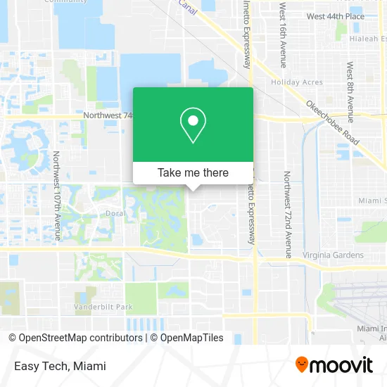
See Easy Tech, North Westside, on the map
Public Transit to Easy Tech in North Westside
Wondering how to get to Easy Tech in North Westside? Moovit helps you find the best way to get to Easy Tech with step-by-step directions from the nearest public transit station.
Moovit provides free maps and live directions to help you navigate through your city. View schedules, routes, timetables, and find out how long does it take to get to Easy Tech in real time.
Looking for the nearest stop or station to Easy Tech? Check out this list of stops closest to your destination: Nw 84 Av & Nw 58 St; Nw 53 St & Op # 8325; Nw 53 St & # 8325; Palmetto Station Rail Southbound.
Bus: 132, 36, 87, DLOOP2.Train: GREEN.
Want to see if there’s another route that gets you there at an earlier time? Moovit helps you find alternative routes or times. Get directions from and directions to Easy Tech easily from the Moovit App or Website.
We make riding to Easy Tech easy, which is why over 1.5 million users, including users in North Westside, trust Moovit as the best app for public transit. You don’t need to download an individual bus app or train app, Moovit is your all-in-one transit app that helps you find the best bus time or train time available.
For information on prices of bus and train, costs and ride fares to Easy Tech, please check the Moovit app.
Use the app to navigate to popular places including to the airport, hospital, stadium, grocery store, mall, coffee shop, school, college, and university.
Easy Tech Address: 8590 NW 56th St Miami, FL 33166 street in North Westside
- Nuvo Cosmetics International,
- Jacqui & David,
- GWS Pressure Cleaning,
- Be Print Now,
- Ferrey Commercial,
- CL Value Code Site,
- Natasha Beauty Studio,
- Doral Select Dentistry,
- Empanadas - D,
- Doral Social Corporation,
- Power Master Internacional,
- Club Pilates,
- Herc Rentals,
- Mattress Cleaner & Carpet Cleaning,
- Mce Distributors,
- Mantra Trucking,
- Carl's Jr.,
- To Go Express,
- Presto! ATM,
- Car Uzd
Places Near Easy Tech (North Westside)
- Dolphin Mall, Miami,
- Marlins Park, Miami,
- Miami VA Hospital, Miami,
- Keiser University Flagship Campus, West Palm Beach,
- Wynwood, Miami,
- Miami Design District, Miami,
- Miami Freedom Park, Miami,
- Bayside Marketplace, Miami,
- Hard Rock Stadium, Miami Gardens,
- Aventura Mall, Miami,
- Miami-Dade County Courthouse, Miami,
- Sawgrass mall ( FL ), Miami Beach,
- Little Havana, Miami,
- Aventura Mall, Miami Beach,
- Dolphin Mall Bus, Miami,
- Richard E. Gerstein Justice Building, Miami,
- Brickell City Centre, Miami,
- Sawgrass Mall, Miami,
- Port of Miami Cruise Terminal, Miami,
- Zoo Miami, Miami
How to get to popular places in Miami with public transit
Get around North Westside by public transit!
Traveling around North Westside has never been so easy. See step by step directions as you travel to any attraction, street or major public transit station. View bus and train schedules, arrival times, service alerts and detailed routes on a map, so you know exactly how to get to anywhere in North Westside.
When traveling to any destination around North Westside use Moovit's Live Directions with Get Off Notifications to know exactly where and how far to walk, how long to wait for your line, and how many stops are left. Moovit will alert you when it's time to get off — no need to constantly re-check whether yours is the next stop.
Wondering how to use public transit in North Westside or how to pay for public transit in North Westside? Moovit public transit app can help you navigate your way with public transit easily, and at minimum cost. It includes public transit fees, ticket prices, and costs. Looking for a map of North Westside public transit lines? Moovit public transit app shows all public transit maps in North Westside with all Bus, Train, Light Rail and Ferry routes and stops on an interactive map.
Miami has 4 transit type(s), including: Bus, Train, Light Rail and Ferry, operated by several transit agencies, including Broward County Transit, Miami-Dade Transit, Metrorail, Palm Tran, Tri-Rail, Brightline, MARTY, City of Homestead Trolley, Key West Transit, Treasure Coast Connector, GoLine IRT, Amtrak, Greyhound-us, FlixBus-us and Aventura Express Shuttle Bus