How to get to Ecotemper by bus?
Click on the bus route to see step by step directions with maps, line arrival times and updated time schedules.
From Calle Malaga, Aguascalientes
32 minFrom Cortijo San Marcos, Aguascalientes
63 minFrom Fiscalía General Del Edo. De Ags, Aguascalientes
29 minFrom Venaderos, Aguascalientes
57 minFrom Paseos de San Antonio, Aguascalientes
49 minFrom El Penal, Aguascalientes
37 minFrom Fracc. San Gerardo Residencial, Aguascalientes
45 minFrom San Gerardo, Aguascalientes
39 minFrom Fraccionamiento Ojocaliente 2, Aguascalientes
34 min
Bus stops near Ecotemper in Aguascalientes
Bus lines to Ecotemper in Aguascalientes
- RUTA 04, Mahatma Gandhi - Jesús María,VIEW
- RUTA 06, Jesús María,VIEW
- RUTA 10, Paseos De Aguascalientes,VIEW
- RUTA 11, Chichimeco,VIEW
- RUTA 38, Paso Blanco,VIEW
- RUTA 34, Villa Montaña,VIEW
- RUTA 20S, Terminal Oriente - Terminal Oriente (S),VIEW
- RUTA 20N, Terminal Oriente - Terminal Oriente (N),VIEW
- RUTA 47, Clínica 10,VIEW
What are the closest stations to Ecotemper?
The closest stations to Ecotemper are:
- General Ignacio Zaragoza, 1431-S is 147 meters away, 2 min walk.
- Avenida Independencia, 517 is 292 meters away, 4 min walk.
- Avenida De La Convencion De 1914 Norte, 1005 is 400 meters away, 6 min walk.
- Avenida Independencia, 643 is 459 meters away, 6 min walk.
Which bus lines stop near Ecotemper?
These bus lines stop near Ecotemper: RUTA 04, RUTA 06, RUTA 10, RUTA 11, RUTA 34, RUTA 38.
What’s the nearest bus station to Ecotemper in Aguascalientes?
The nearest bus station to Ecotemper in Aguascalientes is General Ignacio Zaragoza, 1431-S. It’s a 2 min walk away.
What time is the first bus to Ecotemper in Aguascalientes?
The RUTA 20N is the first bus that goes to Ecotemper in Aguascalientes. It stops nearby at 5:50 AM.
What time is the last bus to Ecotemper in Aguascalientes?
The RUTA 10 is the last bus that goes to Ecotemper in Aguascalientes. It stops nearby at 10:05 PM.
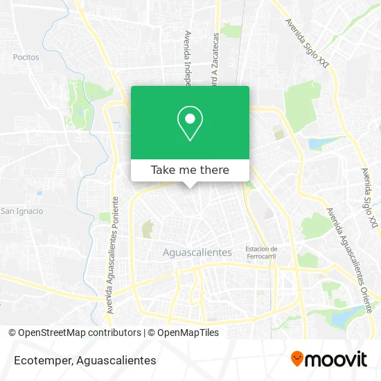
See Ecotemper, Aguascalientes, on the map
Public Transit to Ecotemper in Aguascalientes
Wondering how to get to Ecotemper in Aguascalientes? Moovit helps you find the best way to get to Ecotemper with step-by-step directions from the nearest public transit station.
Moovit provides free maps and live directions to help you navigate through your city. View schedules, routes, timetables, and find out how long does it take to get to Ecotemper in real time.
Looking for the nearest stop or station to Ecotemper? Check out this list of stops closest to your destination: General Ignacio Zaragoza; Avenida Independencia; Avenida De La Convencion De 1914 Norte; Avenida Independencia.
Bus: RUTA 04, RUTA 06, RUTA 10, RUTA 11, RUTA 34, RUTA 38, RUTA 20S, RUTA 20N, RUTA 47.
Want to see if there’s another route that gets you there at an earlier time? Moovit helps you find alternative routes or times. Get directions from and directions to Ecotemper easily from the Moovit App or Website.
We make riding to Ecotemper easy, which is why over 1.5 million users, including users in Aguascalientes, trust Moovit as the best app for public transit. You don’t need to download an individual bus app or train app, Moovit is your all-in-one transit app that helps you find the best bus time or train time available.
For information on prices of bus, costs and ride fares to Ecotemper, please check the Moovit app.
Use the app to navigate to popular places including to the airport, hospital, stadium, grocery store, mall, coffee shop, school, college, and university.
Ecotemper Address: Ecotemper, Calle General Ignacio Zaragoza, Fraccionamiento El Sol, 20030 Aguascalientes, Aguascalie street in Aguascalientes
- La Línea de Fuego Digial,
- Galletas Vanessa,
- Corporación Alpha Omega,
- Delegación Urbana Pocitos,
- Direccion de asuntos Internos,
- Mazapán,
- Tacos Arandas,
- Prolongación Libertad,
- Cfe,
- Vulcanizadora Saucedo,
- Carnicería Alamos,
- Participaciones Finas del Centro, S.A. de C.V.,
- Veterinaria D Gaarz,
- Persienne,
- Sumco Industrial,
- Circunvalación Norte,
- Abastecedora Eléctrica Gh,
- Icaro Grafico,
- Argo Moda & Accesorios,
- Artículos de Belleza Luvi
Places Near Ecotemper (Aguascalientes)
- Aeropuerto de Aguascalientes S.A. de C.V., Aguascalientes,
- clinica 3 uaa, Aguascalientes,
- Terminal De Combis, Aguascalientes,
- ESPACIOS, Aguascalientes,
- Centro, Aguascalientes,
- Jesús María, Aguascalientes,
- Agropecuario, Aguascalientes,
- La Isla San Marcos, Aguascalientes,
- Hospital Imss No. 3, Aguascalientes,
- Imss Clinica 1, Aguascalientes,
- Nuevo Hospital Hidalgo, Aguascalientes,
- Ciudad industrial, Aguascalientes,
- Villas de Nuestra Señora de la Asunción, Aguascalientes,
- Isla San Marcos, Aguascalientes,
- Central De Autobuses, Aguascalientes,
- Blvd. Luis Donaldo Colosio, Aguascalientes,
- Universidad Autónoma de Aguascalientes, Aguascalientes,
- Centro Comercial Altaria, Aguascalientes,
- Villasuncion, Aguascalientes,
- Parque Las Tres Centurias, Aguascalientes
How to get to popular places in Aguascalientes with public transit
Get around Aguascalientes by public transit!
Traveling around Aguascalientes has never been so easy. See step by step directions as you travel to any attraction, street or major public transit station. View bus and train schedules, arrival times, service alerts and detailed routes on a map, so you know exactly how to get to anywhere in Aguascalientes.
When traveling to any destination around Aguascalientes use Moovit's Live Directions with Get Off Notifications to know exactly where and how far to walk, how long to wait for your line, and how many stops are left. Moovit will alert you when it's time to get off — no need to constantly re-check whether yours is the next stop.
Wondering how to use public transit in Aguascalientes or how to pay for public transit in Aguascalientes? Moovit public transit app can help you navigate your way with public transit easily, and at minimum cost. It includes public transit fees, ticket prices, and costs. Looking for a map of Aguascalientes public transit lines? Moovit public transit app shows all public transit maps in Aguascalientes with all bus routes and stops on an interactive map.
Aguascalientes has 1 transit type(s), including: bus, operated by several transit agencies, including Coordinación General de Movilidad