How to get to Edge by bus?
Click on the bus route to see step by step directions with maps, line arrival times and updated time schedules.
From Potomac Mills Mall, Prince William County
210 minFrom Lorton, VA - Amtrak Auto Train Station (LOR), Fairfax County
225 minFrom Lorton, VA, Fairfax County
220 minFrom Rose Gaming Resort, Prince William County
235 minFrom UVA Hospital Medical Center, Charlottesville
300 minFrom Woodbridge, VA, Prince William County
155 minFrom Amazon Fulfillment Center-Ric3, Richmond
65 min
Bus stops near Edge in Richmond
Bus lines to Edge in Richmond
What are the closest stations to Edge?
The closest stations to Edge are:
- Broad + Tilden is 47 yards away, 1 min walk.
- Scotts Addition Eastbound Station is 241 yards away, 3 min walk.
- Sheppard + Monument is 462 yards away, 6 min walk.
- Boulevard + Clay is 887 yards away, 11 min walk.
Which bus lines stop near Edge?
These bus lines stop near Edge: 18, BRT.
What’s the nearest bus station to Edge in Richmond?
The nearest bus station to Edge in Richmond is Broad + Tilden. It’s a 1 min walk away.
What time is the first bus to Edge in Richmond?
The BRT is the first bus that goes to Edge in Richmond. It stops nearby at 5:08 AM.
What time is the last bus to Edge in Richmond?
The BRT is the last bus that goes to Edge in Richmond. It stops nearby at 1:27 AM.
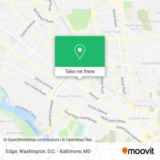
See Edge, Richmond, on the map
Public Transit to Edge in Richmond
Wondering how to get to Edge in Richmond? Moovit helps you find the best way to get to Edge with step-by-step directions from the nearest public transit station.
Moovit provides free maps and live directions to help you navigate through your city. View schedules, routes, timetables, and find out how long does it take to get to Edge in real time.
Looking for the nearest stop or station to Edge? Check out this list of stops closest to your destination: Broad + Tilden; Scotts Addition Eastbound Station; Sheppard + Monument; Boulevard + Clay.
Bus: 18, BRT, 50, 76, 20.
Want to see if there’s another route that gets you there at an earlier time? Moovit helps you find alternative routes or times. Get directions from and directions to Edge easily from the Moovit App or Website.
We make riding to Edge easy, which is why over 1.5 million users, including users in Richmond, trust Moovit as the best app for public transit. You don’t need to download an individual bus app or train app, Moovit is your all-in-one transit app that helps you find the best bus time or train time available.
For information on prices of bus and train, costs and ride fares to Edge, please check the Moovit app.
Use the app to navigate to popular places including to the airport, hospital, stadium, grocery store, mall, coffee shop, school, college, and university.
Edge Address: 3121 W Broad St Richmond, VA 23230 street in Richmond
- Truist Bank,
- Ez Car Rental,
- The Summit,
- Supper,
- The Nest,
- Merchant's Tire & Auto Center,
- Pivot Physical Therapy,
- Hydraulic Equipment Service Company Inc.,
- Panic Anxiety & Depression Center,
- Mental Health Assoc of VA,
- Recluse Coffee Bar And Roastery,
- Joy Garden Chinese,
- Wcve-Fm (Richmond),
- Wtvr-Fm (Richmond),
- Wtvr-Tv (Richmond),
- Global Institute Of Technology (Git) Services,
- Wtvr-Tv (Cbs 6),
- Party Perfect | Event & Party Rentals,
- At Home Care,
- Bingo Beer Co.
Places Near Edge (Richmond)
- Washington DC VA Medical Center, Washington,
- Pennsylvania Ave NW (3rd st and pennsylvania), Washington,
- Amazon Hq2, Arlington County,
- Westfield Montgomery Mall, Montgomery County,
- Marriott Marquis Washington, DC, Washington,
- Washington National Cathedral, Washington,
- National Zoo, Washington,
- National Museum of African American History and Culture, Washington,
- Basilica of the National Shrine, Washington,
- Warner Theatre, Washington,
- National Theatre, Washington,
- Capital One Arena, Washington,
- Camden Yards, Baltimore,
- The Anthem, Washington,
- Museum Of The Bible, Washington,
- Georgetown, Washington,
- Sibley Memorial Hospital, Washington,
- Rock Creek Tennis Center, Washington,
- PG Mall, Prince George's County,
- M&T Bank Stadium, Baltimore
How to get to popular places in Washington, D.C. - Baltimore, MD with public transit
Get around Richmond by public transit!
Traveling around Richmond has never been so easy. See step by step directions as you travel to any attraction, street or major public transit station. View bus and train schedules, arrival times, service alerts and detailed routes on a map, so you know exactly how to get to anywhere in Richmond.
When traveling to any destination around Richmond use Moovit's Live Directions with Get Off Notifications to know exactly where and how far to walk, how long to wait for your line, and how many stops are left. Moovit will alert you when it's time to get off — no need to constantly re-check whether yours is the next stop.
Wondering how to use public transit in Richmond or how to pay for public transit in Richmond? Moovit public transit app can help you navigate your way with public transit easily, and at minimum cost. It includes public transit fees, ticket prices, and costs. Looking for a map of Richmond public transit lines? Moovit public transit app shows all public transit maps in Richmond with all Bus, Train, Metro, Light Rail and Ferry routes and stops on an interactive map.
Washington, D.C. - Baltimore, MD has 5 transit type(s), including: Bus, Train, Metro, Light Rail and Ferry, operated by several transit agencies, including WMATA, Montgomery County Ride On, Fairfax Connector, TheBus, PRTC, DASH - Alexandria, Arlington Transit (ART), RTA of Central Maryland, MDOT MTA, MDOT MTA Light RailLink, MDOT MTA Commuter Bus, MDOT MTA Local Bus, FXBGO!, Virginia Railway Express (VRE) and MARC