How to get to Edmonton Locksmith by bus?
Click on the bus route to see step by step directions with maps, line arrival times and updated time schedules.
From TELUS House
38 minFrom Norquest College
62 minFrom Makami College
43 minFrom Aroma Beauty Spa
50 minFrom Local Jasper Ave
49 minFrom Fort Edmonton Park
95 minFrom Terwillegar Community Recreation Centre
33 minFrom Art Gallery Of Alberta
42 minFrom Sandman Signature Edmonton Downtown Hotel
41 minFrom St. Rose Junior High School
82 min
Bus stops near Edmonton Locksmith
Light Rail stations near Edmonton Locksmith
Bus lines to Edmonton Locksmith
What are the closest stations to Edmonton Locksmith?
The closest stations to Edmonton Locksmith are:
- 91 Street & 28 Avenue is 395 meters away, 6 min walk.
- 91 Street & 23 Avenue is 536 meters away, 8 min walk.
- 85 Street & Knottwood Road N is 1093 meters away, 15 min walk.
- Mill Woods Stop is 3063 meters away, 40 min walk.
- Century Park Station is 3659 meters away, 47 min walk.
Which bus lines stop near Edmonton Locksmith?
These bus lines stop near Edmonton Locksmith: 056, 512, 523.
What’s the nearest bus station to Edmonton Locksmith?
The nearest bus station to Edmonton Locksmith is 91 Street & 28 Avenue. It’s a 6 min walk away.
What time is the first light rail to Edmonton Locksmith?
The VALLEY is the first light rail that goes to Edmonton Locksmith. It stops nearby at 5:10 AM.
What time is the last light rail to Edmonton Locksmith?
The VALLEY is the last light rail that goes to Edmonton Locksmith. It stops nearby at 1:02 AM.
What time is the first bus to Edmonton Locksmith?
The 056 is the first bus that goes to Edmonton Locksmith. It stops nearby at 5:44 AM.
What time is the last bus to Edmonton Locksmith?
The 056 is the last bus that goes to Edmonton Locksmith. It stops nearby at 12:49 AM.
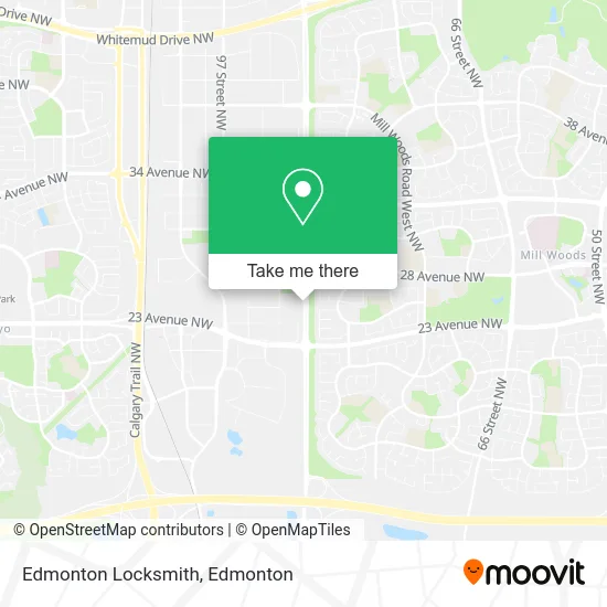
See Edmonton Locksmith on the map
Public Transportation to Edmonton Locksmith
Wondering how to get to Edmonton Locksmith? Moovit helps you find the best way to get to Edmonton Locksmith with step-by-step directions from the nearest public transit station.
Moovit provides free maps and live directions to help you navigate through your city. View schedules, routes, timetables, and find out how long does it take to get to Edmonton Locksmith in real time.
Looking for the nearest stop or station to Edmonton Locksmith? Check out this list of stops closest to your destination: 91 Street & 28 Avenue; 91 Street & 23 Avenue; 85 Street & Knottwood Road N; Mill Woods Stop; Century Park Station.
Bus: 056, 512, 523, 638, 513.
Want to see if there’s another route that gets you there at an earlier time? Moovit helps you find alternative routes or times. Get directions from and directions to Edmonton Locksmith easily from the Moovit App or Website.
We make riding to Edmonton Locksmith easy, which is why over 1.5 million users, including users in Edmonton, trust Moovit as the best app for public transit. You don’t need to download an individual bus app or train app, Moovit is your all-in-one transit app that helps you find the best bus time or train time available.
For information on prices of bus and light rail, costs and ride fares to Edmonton Locksmith, please check the Moovit app.
Use the app to navigate to popular places including to the airport, hospital, stadium, grocery store, mall, coffee shop, school, college, and university.
Edmonton Locksmith Address: 2616 91 St NW Edmonton, AB T6N 1N2 street in Edmonton
- Costco Wholesale,
- Quan N Dr,
- Superheroes Daycare,
- Buff N Bling Auto Spa,
- Creative Promotional Marketing Agency,
- Bhavana Caterers,
- Anthony J Professional Corp,
- Shift Psychological,
- Walters Music Studio,
- Loving Choices Psychology,
- Royal Five Restaurant,
- Gauba Manjit S Dr,
- Dge Group Inc,
- Coca-Cola Bottling Company,
- Constituency Office -Amarjeet Sohi,
- Amarjeet Sohi, Member of Parliament Constituency Office,
- Masjid al Fatima of Edmonton,
- Setcos Infratech,
- Karinderya,
- John Fry Park - Beach Volleyball Courts
Places Near Edmonton Locksmith
- Borden Park, Edmonton,
- Northgate Centre, Edmonton,
- Alberta Legislature Building, Edmonton,
- Grey Nuns Community Hospital, Edmonton,
- West Edmonton Mall, Edmonton,
- Edmonton EXPO Centre, Edmonton,
- Fort Edmonton Park, Edmonton,
- University of Alberta, Edmonton,
- Edmonton VIA Rail Station, Edmonton,
- Londonderry Mall, Edmonton,
- Canada Place Service Canada Centre, Edmonton,
- MacEwan University, Edmonton,
- Kaye Edmonton Clinic, Edmonton,
- Royal Alexandra Hospital, Edmonton,
- Cross Cancer Institute, Edmonton,
- Edmonton Commonwealth Stadium, Edmonton,
- Kingsway Mall, Edmonton,
- Edmonton Valley Zoo, Edmonton,
- Rogers Place, Edmonton,
- Whyte Avenue, Edmonton
How to get to popular places in Edmonton with public transit
Get around Edmonton by public transit!
Traveling around Edmonton has never been so easy. See step by step directions as you travel to any attraction, street or major public transit station. View bus and train schedules, arrival times, service alerts and detailed routes on a map, so you know exactly how to get to anywhere in Edmonton.
When traveling to any destination around Edmonton use Moovit's Live Directions with Get Off Notifications to know exactly where and how far to walk, how long to wait for your line, and how many stops are left. Moovit will alert you when it's time to get off — no need to constantly re-check whether yours is the next stop.
Wondering how to use public transit in Edmonton or how to pay for public transit in Edmonton? Moovit public transit app can help you navigate your way with public transit easily, and at minimum cost. It includes public transit fees, ticket prices, and costs. Looking for a map of Edmonton public transit lines? Moovit public transit app shows all public transit maps in Edmonton with all Bus and Light Rail routes and stops on an interactive map.
Edmonton has 2 transit type(s), including: Bus and Light Rail, operated by several transit agencies, including ETS LRT, ETS, Strathcona County Transit, St. Albert Transit, Spruce Grove Transit, Fort Saskatchewan Transit, Beaumont Transit and Leduc Transit