How to get to Educational Pathways Academy by bus?
Click on the bus route to see step by step directions with maps, line arrival times and updated time schedules.
Bus stops near Educational Pathways Academy in Lee County
Bus lines to Educational Pathways Academy in Lee County
What are the closest stations to Educational Pathways Academy?
The closest stations to Educational Pathways Academy are:
- Shadowlawn Dr is 118 yards away, 2 min walk.
- Pine St is 647 yards away, 8 min walk.
- Davis Blvd is 796 yards away, 10 min walk.
- Connecticut Ave is 844 yards away, 10 min walk.
Which bus lines stop near Educational Pathways Academy?
These bus lines stop near Educational Pathways Academy: 11, 12, 13, 15, 19.
What’s the nearest bus station to Educational Pathways Academy in Lee County?
The nearest bus station to Educational Pathways Academy in Lee County is Shadowlawn Dr. It’s a 2 min walk away.
What time is the first bus to Educational Pathways Academy in Lee County?
The 16 is the first bus that goes to Educational Pathways Academy in Lee County. It stops nearby at 4:51 AM.
What time is the last bus to Educational Pathways Academy in Lee County?
The 15 is the last bus that goes to Educational Pathways Academy in Lee County. It stops nearby at 8:02 PM.
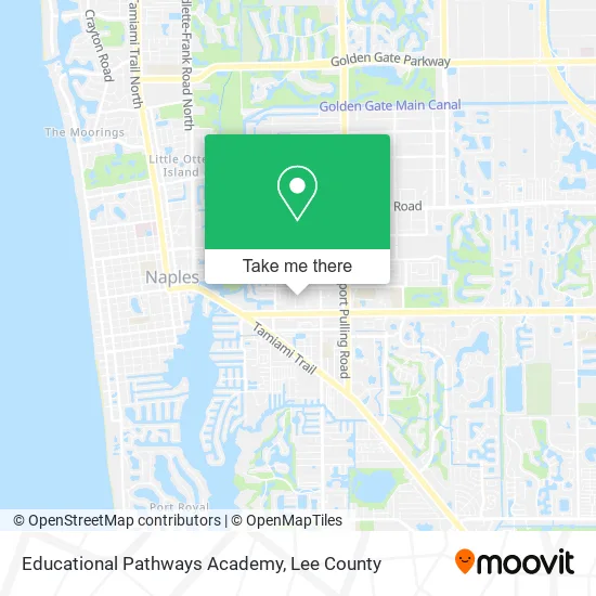
See Educational Pathways Academy, Lee County, on the map
Public Transit to Educational Pathways Academy in Lee County
Wondering how to get to Educational Pathways Academy in Lee County? Moovit helps you find the best way to get to Educational Pathways Academy with step-by-step directions from the nearest public transit station.
Moovit provides free maps and live directions to help you navigate through your city. View schedules, routes, timetables, and find out how long does it take to get to Educational Pathways Academy in real time.
Looking for the nearest stop or station to Educational Pathways Academy? Check out this list of stops closest to your destination: Shadowlawn Dr; Pine St; Davis Blvd; Connecticut Ave.
Bus: 11, 12, 13, 15, 19, 14, 16.
Want to see if there’s another route that gets you there at an earlier time? Moovit helps you find alternative routes or times. Get directions from and directions to Educational Pathways Academy easily from the Moovit App or Website.
We make riding to Educational Pathways Academy easy, which is why over 1.5 million users, including users in Lee County, trust Moovit as the best app for public transit. You don’t need to download an individual bus app or train app, Moovit is your all-in-one transit app that helps you find the best bus time or train time available.
For information on prices of bus, costs and ride fares to Educational Pathways Academy, please check the Moovit app.
Use the app to navigate to popular places including to the airport, hospital, stadium, grocery store, mall, coffee shop, school, college, and university.
Educational Pathways Academy Address: 1351 Pine St Naples, FL 34104 street in Lee County
- Adam MD Mahmoud Cardiologist,
- The Boat House Naples,
- Itechrepair,
- Moses Chiropractic Clinic,
- Amazon Counter-Ismart Tech LLC,
- Luxury Renovations,
- Village Plaza Shopping Center,
- Naples Dental Art Center,
- Nearly New of Naples,
- Brookside,
- Hit Fitness,
- Naples Picasso,
- Shore Upholstery & Fabric,
- Southern Gentlemen Fishing Charters,
- A Dog's Dream Daycare, Llc - Boarding, Grooming, Daycare,
- Spyglass Construction Company,
- Residencial Las Americas, Choloma,
- Yours Truly Aesthetics Studio Llc.,
- Maddox Sandra,
- Jessy Fernandez Hair
Places Near Educational Pathways Academy (Lee County)
- All About U Naples Escorts, Pine Ridge,
- Rosa Parks Transportation Center, Fort Myers,
- I-75 & Colonial (Exit 136), Fort Myers,
- Seminole Casino Hotel Immokalee,
- Bonita Springs, FL, Bonita Springs,
- Matlacha Nude Beach, Matlacha Isles-Matlacha Shores,
- Bonita Beach, Bonita Springs,
- US-41, Fort Myers,
- U.S.-41 / Colonial Blvd. Intersection, Fort Myers,
- Bonita Bay Private Beach Club, Bonita Springs,
- Flixbus, Fort Myers,
- I-75 & MLK (Exit 138), Fort Myers,
- Lehigh Acres, FL, Lehigh Acres,
- Miromar Outlets, Estero,
- Lee County Tax Collector, Cape Coral,
- Edison Mall, Fort Myers,
- Amazon Warehouse Rsw5,
- Walmart Supercenter, Fort Myers,
- Pelican Landing Beach Shuttle, Bonita Springs,
- Ft Myers Airport RSW
How to get to popular places in Lee County with public transit
Get around Lee County by public transit!
Traveling around Lee County has never been so easy. See step by step directions as you travel to any attraction, street or major public transit station. View bus and train schedules, arrival times, service alerts and detailed routes on a map, so you know exactly how to get to anywhere in Lee County.
When traveling to any destination around Lee County use Moovit's Live Directions with Get Off Notifications to know exactly where and how far to walk, how long to wait for your line, and how many stops are left. Moovit will alert you when it's time to get off — no need to constantly re-check whether yours is the next stop.
Wondering how to use public transit in Lee County or how to pay for public transit in Lee County? Moovit public transit app can help you navigate your way with public transit easily, and at minimum cost. It includes public transit fees, ticket prices, and costs. Looking for a map of Lee County public transit lines? Moovit public transit app shows all public transit maps in Lee County with all bus routes and stops on an interactive map.
Lee County has 1 transit type(s), including: bus, operated by several transit agencies, including LeeTran, CAT and FlixBus-us