How to get to El Chuletón by bus?
Click on the bus route to see step by step directions with maps, line arrival times and updated time schedules.
From Colegio Militar Leoncio Prado, San Miguel
31 minFrom Colegio Alfonso Ugarte @ Paseo de la Republica cdra 34, San Isidro
26 minFrom Sunat, La Molina
52 minFrom ZOOLOGICO DE HUACHIPA, San Juan D
45 minFrom AV TANTAMAYO, San Martin
37 minFrom Estacion Cabitos, Santiago D
44 minFrom Clinica Pulso, San Borja
37 minFrom Av. Las Flores - San Juan de Lurigancho, San Juan D
32 minFrom hipodromo de monterrico, Santiago D
50 minFrom AV SEPARADORA INDUSTRIAL, La Molina
51 min
How to get to El Chuletón by metro?
Click on the metro route to see step by step directions with maps, line arrival times and updated time schedules.
Bus stops near El Chuletón in Lima
Metro station near El Chuletón in Lima
- Caja De Agua, 39 min walk,VIEW
Bus lines to El Chuletón in Lima
- B, Estación Chimpu Ocllo (Carabayllo) - Estación Central (Cercado de Lima) ,VIEW
- D, Terminal Naranjal (Independencia) - Estación Central Grau (Centro De Lima),VIEW
- SXN, Estación Central (Lima) - Terminal Naranjal (Independencia),VIEW
- 1010, Pte. Piedra - Magdalena - Pte. Piedra,VIEW
- 1020, Pte. Piedra - San Isidro,VIEW
- 1024, Los Sauces - Cerro Candela,VIEW
- 1030, Canta Callao (San Martin De Porres) - San Diego (San Martin De Porres),VIEW
- 1066, Lima - Ate,VIEW
- 1068, Lima - Ate,VIEW
- 1131, Gamarra (La Victoria),VIEW
- 1168, Ventanilla - Panam. Norte - Alfonso Ugarte - Salaverry - Panamericana Norte - Ancón,VIEW
- 1258, Minka (Callao) - Jicamarca (San Juan De Lurigancho),VIEW
- 1263, Plaza Unión (Lima) - Nuevo Paraiso (V.M.T) ,VIEW
- 1284, Canta Callao (San Martin De Porres),VIEW
- 1302, Minka (Callao) - Casablanca (San Juan De Lurigancho),VIEW
- 1464, Lima - V.M.T.,VIEW
- 1473, S.J.L. - Magdalena,VIEW
- 1475, Campoy (San Juan De Lurigancho) - La Paz (Callao),VIEW
- CR09, Sarita Colonia (Callao) - Plaza 2 De Mayo (Lima),VIEW
- CR41, Ventanilla - Lima,VIEW
What are the closest stations to El Chuletón?
The closest stations to El Chuletón are:
- Estación 2 De Mayo (Sur) is 36 meters away, 1 min walk.
- Plaza 2 De Mayo is 123 meters away, 2 min walk.
- Sanchez Pinillos / Museo De La Cultura Peruana is 244 meters away, 4 min walk.
- Jirón Coronel Miguel Baquero, 182 is 281 meters away, 4 min walk.
- Plaza Dos De Mayo is 292 meters away, 4 min walk.
- Caja De Agua is 3022 meters away, 39 min walk.
Which bus lines stop near El Chuletón?
These bus lines stop near El Chuletón: 1024, 1244, 1258, 1284, 1464.
Which metro line stops near El Chuletón?
LINEA 1 (Bayóvar (San Juan De Lurigancho) - Separadora Industrial (Villa El Salvador))
What’s the nearest bus station to El Chuletón in Lima?
The nearest bus station to El Chuletón in Lima is Estación 2 De Mayo (Sur). It’s a 1 min walk away.
What time is the first metro to El Chuletón in Lima?
The LINEA 1 is the first metro that goes to El Chuletón in Lima. It stops nearby at 5:13 AM.
What time is the last metro to El Chuletón in Lima?
The LINEA 1 is the last metro that goes to El Chuletón in Lima. It stops nearby at 10:34 PM.
What time is the first bus to El Chuletón in Lima?
The 1263 is the first bus that goes to El Chuletón in Lima. It stops nearby at 4:00 AM.
What time is the last bus to El Chuletón in Lima?
The IM47 is the last bus that goes to El Chuletón in Lima. It stops nearby at 1:07 AM.
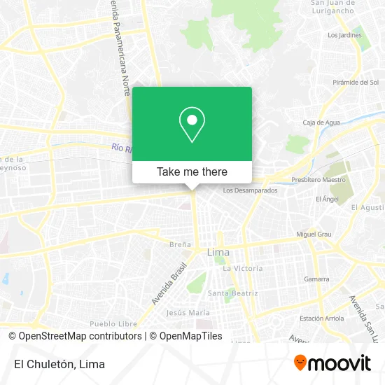
See El Chuletón, Lima, on the map
Public Transit to El Chuletón in Lima
Wondering how to get to El Chuletón in Lima? Moovit helps you find the best way to get to El Chuletón with step-by-step directions from the nearest public transit station.
Moovit provides free maps and live directions to help you navigate through your city. View schedules, routes, timetables, and find out how long does it take to get to El Chuletón in real time.
Looking for the nearest stop or station to El Chuletón? Check out this list of stops closest to your destination: Estación 2 De Mayo (Sur); Plaza 2 De Mayo; Sanchez Pinillos / Museo De La Cultura Peruana; Jirón Coronel Miguel Baquero; Plaza Dos De Mayo; Caja De Agua.
Bus: 1024, 1244, 1258, 1284, 1464, B, D, SXN, 1010, 1020, 1030, 1066, 1249, 1303, 1069, CR56.Metro: LINEA 1.
Want to see if there’s another route that gets you there at an earlier time? Moovit helps you find alternative routes or times. Get directions from and directions to El Chuletón easily from the Moovit App or Website.
We make riding to El Chuletón easy, which is why over 1.5 million users, including users in Lima, trust Moovit as the best app for public transit. You don’t need to download an individual bus app or train app, Moovit is your all-in-one transit app that helps you find the best bus time or train time available.
For information on prices of bus and metro, costs and ride fares to El Chuletón, please check the Moovit app.
Use the app to navigate to popular places including to the airport, hospital, stadium, grocery store, mall, coffee shop, school, college, and university.
El Chuletón Address: Corredor Troncal del Metropolitano Cercado, 15001 Lima street in Lima
- Bermanlab - Chepen,
- Deco Interior's Garay,
- Glamping Bambucamp,
- Suyay Tour,
- La Grandota,
- Mundo Muebles Shalom,
- La Concordia Villa El Salvador,
- Av SAN Felipe,
- Avenida del Ejército,
- Masajes en Lima Templo Dakini,
- Sopas del Valle,
- Ollaytambo,
- Vista al Mar - Sede Lurin,
- Taxi Satelital,
- Confecciones Industriales Dominic - Ropa Industrial,
- Jiron LOS ALGARROBOS 533 URB LOS JARDINES,
- Calle Fray Durand Martell,
- CAMANA,
- UBICADO EN SANTA CRUZ DE ASIA LOTE 17 MZ C5 KILOMETRO 97 5 FRENTE A LA ENTRADA PLAYA BLANCA FREN,
- URBANIZACION VALDIVIEZO
Places Near El Chuletón (Lima)
- Av. Abancay, Lima,
- Pontificia Universidad Católica del Perú - PUCP, San Miguel,
- Plaza San Miguel, San Miguel,
- Larcomar, Miraflores,
- Av. Salaverry, Jesus Mari,
- Jockey Plaza, Santiago D,
- Parque de las Leyendas, San Miguel,
- Av. La Marina, San Miguel,
- Gamarra,
- Hospital Edgardo Rebagliati Martins, Jesus Mari,
- av arequipa, Lima,
- Centro Comercial Plaza Norte, Independen,
- Real Plaza Puruchuco, Ate,
- Miraflores, Miraflores,
- Aeropuerto Internacional Jorge Chávez, Ventanilla,
- Circuito Mágico Del Agua, Lima,
- Parque Kennedy, Miraflores,
- Mall Del Sur,
- Barranco, Barranco,
- Paradero Av.Brasil
How to get to popular places in Lima with public transit
Get around Lima by public transit!
Traveling around Lima has never been so easy. See step by step directions as you travel to any attraction, street or major public transit station. View bus and train schedules, arrival times, service alerts and detailed routes on a map, so you know exactly how to get to anywhere in Lima.
When traveling to any destination around Lima use Moovit's Live Directions with Get Off Notifications to know exactly where and how far to walk, how long to wait for your line, and how many stops are left. Moovit will alert you when it's time to get off — no need to constantly re-check whether yours is the next stop.
Wondering how to use public transit in Lima or how to pay for public transit in Lima? Moovit public transit app can help you navigate your way with public transit easily, and at minimum cost. It includes public transit fees, ticket prices, and costs. Looking for a map of Lima public transit lines? Moovit public transit app shows all public transit maps in Lima with all Bus, Metro and Ferry routes and stops on an interactive map.
Lima has 3 transit type(s), including: Bus, Metro and Ferry, operated by several transit agencies, including Metro de Lima Línea 2 , Metro de Lima, Corredor Rojo, Metropolitano, Metropolitano - Alimentadores, Corredor Morado, Corredor Azul, Rutas Tradicionales, Transportes y Servicios La Esperanza S.A., Las Flores S.A., Virgen de la Asunción S.A., Consorcio HAM, Transportes y Service Canadá S.A., ETUL4SA and ETUCHISA