How to get to Elcomplus by bus?
Click on the bus route to see step by step directions with maps, line arrival times and updated time schedules.
From Sensual Massage 4 Women, Miami Beach
69 minFrom Surfside Beach, Miami Beach
67 minFrom North Bay Village, Miami Beach
68 minFrom In-N-Out Burger (innout), Miami
50 minFrom W 49th St / NW 103rd St, Hialeah
93 minFrom Costco Wholesale, Miami
43 minFrom North Miami Beach, Miami
42 minFrom A To Z Marble Restoration, Hollywood
87 minFrom North Miami, Miami
35 minFrom Aventura Mall, Miami
45 min
Bus stops near Elcomplus in Miami
Train station near Elcomplus in Miami
- Golden Glades Station, 38 min walk,VIEW
Bus lines to Elcomplus in Miami
What are the closest stations to Elcomplus?
The closest stations to Elcomplus are:
- Nw 167 St & Nw 1 Av is 662 yards away, 9 min walk.
- Nw 1 Av@nw 167 St is 675 yards away, 9 min walk.
- Golden Glades Station is 3240 yards away, 38 min walk.
- Nw 7 Av & Nw 157 St is 4603 yards away, 55 min walk.
- Golden Glades P&r (West Lot) is 5140 yards away, 61 min walk.
Which bus line stops near Elcomplus?
75 (75a - Fiu Biscayne Campus)
What’s the nearest bus station to Elcomplus in Miami?
The nearest bus stations to Elcomplus in Miami are Nw 167 St & Nw 1 Av and Nw 1 Av@nw 167 St. The closest one is a 9 min walk away.
What time is the first train to Elcomplus in Miami?
The TRIRAIL is the first train that goes to Elcomplus in Miami. It stops nearby at 4:07 AM.
What time is the last train to Elcomplus in Miami?
The TRIRAIL is the last train that goes to Elcomplus in Miami. It stops nearby at 10:24 PM.
What time is the first bus to Elcomplus in Miami?
The 401 is the first bus that goes to Elcomplus in Miami. It stops nearby at 3:04 AM.
What time is the last bus to Elcomplus in Miami?
The 77 is the last bus that goes to Elcomplus in Miami. It stops nearby at 3:09 AM.
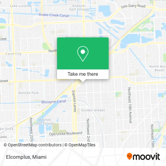
See Elcomplus, Miami, on the map
Public Transit to Elcomplus in Miami
Wondering how to get to Elcomplus in Miami? Moovit helps you find the best way to get to Elcomplus with step-by-step directions from the nearest public transit station.
Moovit provides free maps and live directions to help you navigate through your city. View schedules, routes, timetables, and find out how long does it take to get to Elcomplus in real time.
Looking for the nearest stop or station to Elcomplus? Check out this list of stops closest to your destination: Nw 167 St & Nw 1 Av; Nw 1 Av@nw 167 St; Golden Glades Station; Nw 7 Av & Nw 157 St; Golden Glades P&r (West Lot).
Bus: 75, 401, NMBEACD, 77, 95.Train: TRIRAIL.
Want to see if there’s another route that gets you there at an earlier time? Moovit helps you find alternative routes or times. Get directions from and directions to Elcomplus easily from the Moovit App or Website.
We make riding to Elcomplus easy, which is why over 1.5 million users, including users in Miami, trust Moovit as the best app for public transit. You don’t need to download an individual bus app or train app, Moovit is your all-in-one transit app that helps you find the best bus time or train time available.
For information on prices of bus, costs and ride fares to Elcomplus, please check the Moovit app.
Use the app to navigate to popular places including to the airport, hospital, stadium, grocery store, mall, coffee shop, school, college, and university.
Elcomplus Address: 290 NW 165th St Miami, FL 33169 street in Miami
- FedEx,
- Fundacion Don Tomas,
- The Joseph Firm PA,
- Celebrity Medspa,
- Insurance Nation,
- Toyota of North Miami,
- Melissa Mendoza Suyo, MD,
- Accident Recovery Chiropractic Clinic,
- Car Accident Chiropractor North Miami Beach 33169 US,
- Ticket Wizard,
- Marshall Bronstein D.C., Chiropractic and Acupuncture Center,
- Art of Personal TR,
- Driving and Traffic School,
- Chiropractic of,
- Masters Preparatory School,
- Excel Home Health Care Services,
- Interstate 95 & FL Turnpike / US 441 / Palmetto Expy / FL 826,
- Louis Law Group,
- Millennium Clinic,
- Libertyx Bitcoin ATM
Places Near Elcomplus (Miami)
- Wynwood, Miami,
- Hard Rock Stadium, Miami Gardens,
- Little Havana, Miami,
- Aventura Mall, Miami,
- Brickell City Centre, Miami,
- Richard E. Gerstein Justice Building, Miami,
- Dolphin Mall Bus, Miami,
- Sawgrass Mall, Miami,
- Bayside Marketplace, Miami,
- Marlins Park, Miami,
- Keiser University Flagship Campus, West Palm Beach,
- Miami VA Hospital, Miami,
- Miami-Dade County Courthouse, Miami,
- Zoo Miami, Miami,
- Aventura Mall, Miami Beach,
- Port of Miami Cruise Terminal, Miami,
- Miami Freedom Park, Miami,
- Sawgrass mall ( FL ), Miami Beach,
- Miami Design District, Miami,
- Dolphin Mall, Miami
How to get to popular places in Miami with public transit
Get around Miami by public transit!
Traveling around Miami has never been so easy. See step by step directions as you travel to any attraction, street or major public transit station. View bus and train schedules, arrival times, service alerts and detailed routes on a map, so you know exactly how to get to anywhere in Miami.
When traveling to any destination around Miami use Moovit's Live Directions with Get Off Notifications to know exactly where and how far to walk, how long to wait for your line, and how many stops are left. Moovit will alert you when it's time to get off — no need to constantly re-check whether yours is the next stop.
Wondering how to use public transit in Miami or how to pay for public transit in Miami? Moovit public transit app can help you navigate your way with public transit easily, and at minimum cost. It includes public transit fees, ticket prices, and costs. Looking for a map of Miami public transit lines? Moovit public transit app shows all public transit maps in Miami with all Bus, Train, Light Rail and Ferry routes and stops on an interactive map.
Miami has 4 transit type(s), including: Bus, Train, Light Rail and Ferry, operated by several transit agencies, including Broward County Transit, Miami-Dade Transit, Metrorail, Palm Tran, Tri-Rail, Brightline, MARTY, City of Homestead Trolley, Key West Transit, Treasure Coast Connector, GoLine IRT, Amtrak, Greyhound-us, FlixBus-us and Aventura Express Shuttle Bus