Elgin Mills Rd / Yonge St stop - Thursday schedule
| Line | Direction | Time |
|---|---|---|
| 80 | Elgin West Community Centre - Wb | 5:32 AM |
| 80 | Elgin West Community Centre - Wb | 6:01 AM |
| 86 | Shadow Falls Drive Via Richmond Hill Go Station - Nb | 6:10 AM |
| 80 | Elgin West Community Centre - Wb | 6:25 AM |
| 86 | Shadow Falls Drive Via Richmond Hill Go Station - Nb | 6:45 AM |
| 80 | Elgin West Community Centre - Wb | 6:54 AM |
| 86 | Shadow Falls Drive Via Richmond Hill Go Station - Nb | 7:11 AM |
| 80 | Elgin West Community Centre - Wb | 7:23 AM |
| 86 | Shadow Falls Drive Via Richmond Hill Go Station - Nb | 7:41 AM |
| 80 | Elgin West Community Centre - Wb | 7:52 AM |
| 86 | Shadow Falls Drive Via Our Lady Queen Of the World Catholic Academy - Nb | 8:08 AM |
| 80 | Elgin West Community Centre - Wb | 8:24 AM |
| 86 | Shadow Falls Drive - Nb | 8:26 AM |
| 80 | Elgin West Community Centre - Wb | 8:53 AM |
| 86 | Shadow Falls Drive - Nb | 9:03 AM |
| 80 | Elgin West Community Centre - Wb | 9:21 AM |
| 80 | Elgin West Community Centre - Wb | 9:44 AM |
| 86 | Shadow Falls Drive - Nb | 9:46 AM |
| 80 | Elgin West Community Centre - Wb | 10:13 AM |
| 86 | Shadow Falls Drive - Nb | 10:25 AM |
| 80 | Elgin West Community Centre - Wb | 11:03 AM |
| 86 | Shadow Falls Drive - Nb | 11:19 AM |
| 80 | Elgin West Community Centre - Wb | 11:53 AM |
| 86 | Shadow Falls Drive - Nb | 12:13 PM |
| 80 | Elgin West Community Centre - Wb | 12:43 PM |
Directions to Elgin Mills Rd / Yonge St stop (Richmond Hill) with public transit
The following transit lines have routes that pass near Elgin Mills Rd / Yonge St
 Bus: 80, BLUE, BLUE B, 86, 99.
- Train: RH.
How to get to Elgin Mills Rd / Yonge St stop by bus?
Click on the bus route to see step by step directions with maps, line arrival times and updated time schedules.
How to get to Elgin Mills Rd / Yonge St stop by train?
Click on the train route to see step by step directions with maps, line arrival times and updated time schedules.
Bus stops near Elgin Mills Rd / Yonge St stop in Richmond Hill
- Yonge St / Elgin Mills Rd, 1 min walk,
- Yonge / Elgin Mills, 2 min walk,
- Elgin Mills Rd / Enford Rd, 4 min walk,
Train stations near Elgin Mills Rd / Yonge St station in Richmond Hill
- Richmond Hill Go, 25 min walk,
Bus lines to Elgin Mills Rd / Yonge St stop in Richmond Hill
- 86, Richmond Hill Centre Terminal Via Our Lady Queen Of the World Catholic Academy - Sb,
- 99, Bernard Terminal - Nb,
- 98|099, Green Lane - Nb,
- BLUE, VIVA BLUE,
- BLUE B, VIVA BLUE B,
- 80, Woodbine Avenue - Eb,
What are the closest stations to Elgin Mills Rd / Yonge St?
The closest stations to Elgin Mills Rd / Yonge St are:
- Yonge St / Elgin Mills Rd stop is 51 meters away, 1 min walk.
- Yonge / Elgin Mills stop is 73 meters away, 2 min walk.
- Elgin Mills Rd / Enford Rd stop is 246 meters away, 4 min walk.
- Richmond Hill Go station is 1916 meters away, 25 min walk.
Which bus lines stop near Elgin Mills Rd / Yonge St?
These bus lines stop near Elgin Mills Rd / Yonge St: 80, BLUE, BLUE B.
Which train line stops near Elgin Mills Rd / Yonge St?
RH (Union Station)
What’s the nearest train station to Elgin Mills Rd / Yonge St in Richmond Hill?
The nearest train station to Elgin Mills Rd / Yonge St in Richmond Hill is Richmond Hill Go. It’s a 25 min walk away.
What’s the nearest bus station to Elgin Mills Rd / Yonge St in Richmond Hill?
The nearest bus station to Elgin Mills Rd / Yonge St in Richmond Hill is Yonge St / Elgin Mills Rd. It’s a 1 min walk away.
What time is the first train to Elgin Mills Rd / Yonge St in Richmond Hill?
The RH is the first train that goes to Elgin Mills Rd / Yonge St in Richmond Hill. It stops nearby at 6:09 AM.
What time is the last train to Elgin Mills Rd / Yonge St in Richmond Hill?
The RH is the last train that goes to Elgin Mills Rd / Yonge St in Richmond Hill. It stops nearby at 7:32 PM.
What time is the first bus to Elgin Mills Rd / Yonge St in Richmond Hill?
The 98|099 is the first bus that goes to Elgin Mills Rd / Yonge St in Richmond Hill. It stops nearby at 3:04 AM.
What time is the last bus to Elgin Mills Rd / Yonge St in Richmond Hill?
The 98|099 is the last bus that goes to Elgin Mills Rd / Yonge St in Richmond Hill. It stops nearby at 3:05 AM.
Elgin Mills Rd / Yonge St station
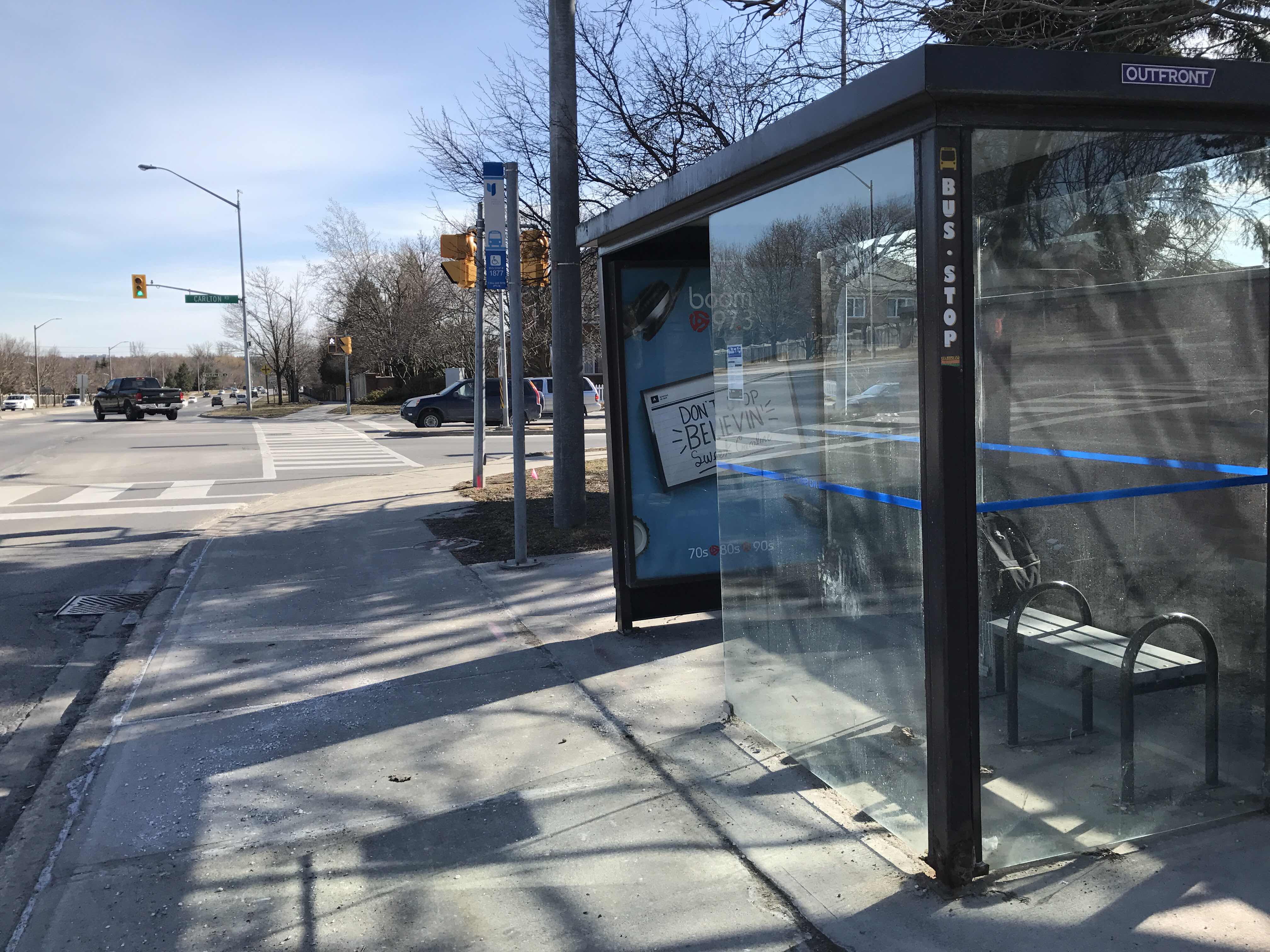 Taken by Anonymous
See Elgin Mills Rd / Yonge St stop, Richmond Hill, on the map
Public transit to Elgin Mills Rd / Yonge St stop (ID: 2198) in Richmond Hill
Looking for directions to Elgin Mills Rd / Yonge St in Richmond Hill, Canada?
Download the Moovit App to find the current schedule and step-by-step directions for Bus or Train routes that pass through Elgin Mills Rd / Yonge St.
Looking for the nearest stops closest to Elgin Mills Rd / Yonge St ? Check out this list of closest stops to your destination: Yonge St / Elgin Mills Rd; Yonge / Elgin Mills; Elgin Mills Rd / Enford Rd; Richmond Hill Go.
Bus: 80, BLUE, BLUE B, 86, 99, 98|099.Train: RH.
We make riding on public transit to Elgin Mills Rd / Yonge St easy, which is why over 1.7 billion users, including users in Richmond Hill trust Moovit as the best app for public transit.
Use the app to navigate to popular places including to the airport, hospital, stadium, grocery store, mall, coffee shop, school, college, and university.
Elgin Mills Rd / Yonge St stop’s code is 2198
The first line to this stop is 80, at 5:32 AM, and the last line is 80 at 11:16 PM.
80 Elgin Mills Road East, Richmond Hill, ON, Canada
This stop serves York Region Transit’s lines
- Yonge St / Elgin Mills Rd,
- Yonge / Elgin Mills,
- Elgin Mills Rd / Enford Rd
Bus stops near Elgin Mills Rd / Yonge St stop
- Richmond Hill Go
Train station near Elgin Mills Rd / Yonge St station
- Conestoga College Doon Campus - Recreation Centre,
- Tomken Rd at Canadian Pl,
- Lakeshore Rd at East Ave,
- Confederation Pkwy / Rutherford Rd,
- Mississauga Rd N/Of Embleton Rd,
- Hurontario St at Kingsbridge Garden Cir,
- Highway 7 / Main St Unionville,
- Finch Ave S/Of Steeles Ave,
- Times Av / Highway 7,
- Weber St. E. @ Montgomery Rd.,
- Dupont,
- Rutherford Rd N N/Of Queen St E,
- Williams Pky at Go Carpool Parking Lot,
- Winston Churchill Blvd at Meadowvale Town Ctr Cir,
- North Shore at Joseph Brant Hospital,
- Holiday Inn Dr. / Jacob Hespeler Secondary School,
- Upper Canada Mall Stop # 5525,
- Winston Churchill Blvd at Battleford Rd,
- Derry Rd at Saint Barbara Blvd,
- Rexdale Blvd at Woodbine Centre
Popular public transit stations in Richmond Hill
Get around Richmond Hill by public transit!
Traveling around Richmond Hill has never been so easy. See step by step directions as you travel to any attraction, street or major public transit station. View bus and train schedules, arrival times, service alerts and detailed routes on a map, so you know exactly how to get to anywhere in Richmond Hill.
When traveling to any destination around Richmond Hill use Moovit's Live Directions with Get Off Notifications to know exactly where and how far to walk, how long to wait for your line, and how many stops are left. Moovit will alert you when it's time to get off — no need to constantly re-check whether yours is the next stop.
Wondering how to use public transit in Richmond Hill or how to pay for public transit in Richmond Hill? Moovit public transit app can help you navigate your way with public transit easily, and at minimum cost. It includes public transit fees, ticket prices, and costs. Looking for a map of Richmond Hill public transit lines? Moovit public transit app shows all public transit maps in Richmond Hill with all Bus, Train, Subway, Streetcar and Ferry routes and stops on an interactive map.
Toronto has 5 transit type(s), including: Bus, Train, Subway, Streetcar and Ferry, operated by several transit agencies, including TTC, Toronto Subway, Brampton Transit, MiWay, York Region Transit, GO Transit Bus, GO Transit, Durham Region Transit, UP Express, Grand River Transit, Guelph Transit, Hamilton Street Railway, Burlington Transit, Oakville Transit and pererborough