How to get to Elizabeth by bus?
Click on the bus route to see step by step directions with maps, line arrival times and updated time schedules.
From Los Agaves, León
43 minFrom Secundaria #21 Jorge Gonzalez Camarena, La Laborcita
54 minFrom Deportiva del Estado Enrique Fernández Martínez, León
29 minFrom Leon 2, León
32 minFrom CAISES Floresta, León
36 minFrom Fraccionamiento el Dorado, León
51 minFrom León-San Francisco del Rincón, Estancia
91 minFrom Ciudad Punta Dorada, Centro Familiar La Soledad
65 minFrom Campus Virtual Upiig Ipn, León
49 minFrom Outlet Mulza, León
38 min
Bus stops near Elizabeth in León
Bus lines to Elizabeth in León
What are the closest stations to Elizabeth?
The closest stations to Elizabeth are:
- Zeus 301 - El Retiro is 54 meters away, 1 min walk.
- Tancitaro 623 - Hidalgo is 87 meters away, 2 min walk.
- Zeus 403 - El Retiro is 247 meters away, 4 min walk.
- Júpiter 844 - La Anaya is 323 meters away, 5 min walk.
Which bus lines stop near Elizabeth?
These bus lines stop near Elizabeth: R-37, R-37-R, X-58C1.
What’s the nearest bus station to Elizabeth in León?
The nearest bus station to Elizabeth in León is Zeus 301 - El Retiro. It’s a 1 min walk away.
What time is the first bus to Elizabeth in León?
The X-07 is the first bus that goes to Elizabeth in León. It stops nearby at 5:48 AM.
What time is the last bus to Elizabeth in León?
The X-07 is the last bus that goes to Elizabeth in León. It stops nearby at 11:26 PM.
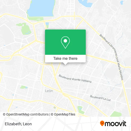
See Elizabeth, León, on the map
Public Transit to Elizabeth in León
Wondering how to get to Elizabeth in León? Moovit helps you find the best way to get to Elizabeth with step-by-step directions from the nearest public transit station.
Moovit provides free maps and live directions to help you navigate through your city. View schedules, routes, timetables, and find out how long does it take to get to Elizabeth in real time.
Looking for the nearest stop or station to Elizabeth? Check out this list of stops closest to your destination: Zeus 301 - El Retiro; Tancitaro 623 - Hidalgo; Zeus 403 - El Retiro; Júpiter 844 - La Anaya.
Bus: R-37, R-37-R, X-58C1, R-13-C1, X-07, R-13-C2.
Want to see if there’s another route that gets you there at an earlier time? Moovit helps you find alternative routes or times. Get directions from and directions to Elizabeth easily from the Moovit App or Website.
We make riding to Elizabeth easy, which is why over 1.5 million users, including users in León, trust Moovit as the best app for public transit. You don’t need to download an individual bus app or train app, Moovit is your all-in-one transit app that helps you find the best bus time or train time available.
For information on prices of bus, costs and ride fares to Elizabeth, please check the Moovit app.
Use the app to navigate to popular places including to the airport, hospital, stadium, grocery store, mall, coffee shop, school, college, and university.
Elizabeth Address: Calle Zinapécuaro 907, Fraccionamiento Hidalgo, 37220 León, Guanajuato street in León
- Birrieria Chente,
- Cremeria León,
- Lencería,
- Taquería Martin,
- Rosticería El Retiro,
- Congelados Lucía,
- Carnicería Los Arbolitos,
- Kado Conceptos y Diseño Floral,
- Vocees del Corazón,
- Gran Pollo o Pollos Gus,
- El Martillo,
- Peletería de Pablos,
- tortillería Medina,
- WESTERN UNION,
- CAJA POPULAR MEXICANA,
- mercado el retiro,
- EL GLOBO,
- Comercio al por Menor de Productos Naturistas medicamentos Homeopáticos y de Complementos Alimentic,
- Cremeria Gómez e Hijos,
- Papelería y Mercería El Detalle
Places Near Elizabeth (León)
- Centro, León,
- Clinica 47 IMSS Trojes, León,
- Hospital General Regional, León,
- IMSS T1, León,
- Estación Delta, León,
- SAT, León,
- Plaza Galerías León, León,
- UMAA 55, León,
- Plaza Galeria Las Torres, León,
- Plaza Mayor, León,
- Altacia, León,
- Santa Ana del Conde, León,
- Centro Max, León,
- Parque Metropolitano, León,
- Parque bicentenario, León,
- UNITEC Campus León, León,
- Maravillas, León,
- Hospital Regional No. 58 IMSS, Medina,
- zoologico, León,
- Central Camionera León, Gto., León
How to get to popular places in Leon with public transit
Get around León by public transit!
Traveling around León has never been so easy. See step by step directions as you travel to any attraction, street or major public transit station. View bus and train schedules, arrival times, service alerts and detailed routes on a map, so you know exactly how to get to anywhere in León.
When traveling to any destination around León use Moovit's Live Directions with Get Off Notifications to know exactly where and how far to walk, how long to wait for your line, and how many stops are left. Moovit will alert you when it's time to get off — no need to constantly re-check whether yours is the next stop.
Wondering how to use public transit in León or how to pay for public transit in León? Moovit public transit app can help you navigate your way with public transit easily, and at minimum cost. It includes public transit fees, ticket prices, and costs. Looking for a map of León public transit lines? Moovit public transit app shows all public transit maps in León with all bus routes and stops on an interactive map.
Leon has 1 transit type(s), including: bus, operated by several transit agencies, including Troncales, Alimentadora, Auxiliar and Convencional