How to get to Elliot Car Key Locksmith by bus?
Click on the bus route to see step by step directions with maps, line arrival times and updated time schedules.
From Sedano's (Sedanos Supermarket), Miami
54 minFrom Florida International University, South Westside
55 minFrom 37th Ave & West Flagler St, Miami
54 minFrom Colombian Consulate, Miami
78 minFrom 2655 S Le Jeune Rd, Miami
79 minFrom Palmetto General Hospital, Hialeah
52 minFrom Venetian Pool, Miami
79 minFrom NW 79th St / NW 32nd Ave, Miami
100 minFrom Publix, Miami
79 minFrom Le Jeune Rd / E 49th St, Hialeah
76 min
Bus stops near Elliot Car Key Locksmith in North Westside
Bus lines to Elliot Car Key Locksmith in North Westside
What are the closest stations to Elliot Car Key Locksmith?
The closest stations to Elliot Car Key Locksmith are:
- Tony Romas Nw 33 St@nw 87 Ave is 217 yards away, 3 min walk.
- Nw 87 Av & Nw 33 St is 280 yards away, 4 min walk.
Which bus lines stop near Elliot Car Key Locksmith?
These bus lines stop near Elliot Car Key Locksmith: 132, 87.
What’s the nearest bus station to Elliot Car Key Locksmith in North Westside?
The nearest bus station to Elliot Car Key Locksmith in North Westside is Tony Romas Nw 33 St@nw 87 Ave. It’s a 3 min walk away.
What time is the first bus to Elliot Car Key Locksmith in North Westside?
The 87 is the first bus that goes to Elliot Car Key Locksmith in North Westside. It stops nearby at 5:19 AM.
What time is the last bus to Elliot Car Key Locksmith in North Westside?
The 87 is the last bus that goes to Elliot Car Key Locksmith in North Westside. It stops nearby at 11:05 PM.
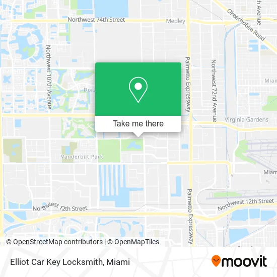
See Elliot Car Key Locksmith, North Westside, on the map
Public Transit to Elliot Car Key Locksmith in North Westside
Wondering how to get to Elliot Car Key Locksmith in North Westside? Moovit helps you find the best way to get to Elliot Car Key Locksmith with step-by-step directions from the nearest public transit station.
Moovit provides free maps and live directions to help you navigate through your city. View schedules, routes, timetables, and find out how long does it take to get to Elliot Car Key Locksmith in real time.
Looking for the nearest stop or station to Elliot Car Key Locksmith? Check out this list of stops closest to your destination: Tony Romas Nw 33 St@nw 87 Ave; Nw 87 Av & Nw 33 St.
Bus: 132, 87, DLOOP2, 95, DLOOP1.
Want to see if there’s another route that gets you there at an earlier time? Moovit helps you find alternative routes or times. Get directions from and directions to Elliot Car Key Locksmith easily from the Moovit App or Website.
We make riding to Elliot Car Key Locksmith easy, which is why over 1.5 million users, including users in North Westside, trust Moovit as the best app for public transit. You don’t need to download an individual bus app or train app, Moovit is your all-in-one transit app that helps you find the best bus time or train time available.
For information on prices of bus and train, costs and ride fares to Elliot Car Key Locksmith, please check the Moovit app.
Use the app to navigate to popular places including to the airport, hospital, stadium, grocery store, mall, coffee shop, school, college, and university.
Elliot Car Key Locksmith Address: 8720 NW 33rd St Miami, FL 33172 street in North Westside
- Extended Stay America,
- Homestead Miami Airport / Doral,
- Consulado de Bolivia en Miami,
- NW 33rd St / NW 87th Ave,
- Miller's Ale House - Miami Doral,
- Elias Automotive Locksmith,
- Northwest 87th Avenue & Northwest 30th Terrace,
- 87th Ave Locksmith Company,
- IBERIABANK,
- Northwest 87th Avenue & Northwest 33rd Street,
- Mondongo's Restaurant (Mondongos Restaurant),
- Contel Fresh,
- Cesio Investment,
- Ryder Frequently Called Numbers,
- 8343 Lake Dr, Doral, Fl 33166,
- Holiday Inn Miami-Doral Area, an IHG Hotel,
- Iutum,
- Cyxtera Total Fraud Protection,
- Application Oriented Designs,
- Shoma Homes at Park Square
Places Near Elliot Car Key Locksmith (North Westside)
- Marlins Park, Miami,
- Port of Miami Cruise Terminal, Miami,
- Brickell City Centre, Miami,
- Aventura Mall, Miami Beach,
- Sawgrass mall ( FL ), Miami Beach,
- Keiser University Flagship Campus, West Palm Beach,
- Little Havana, Miami,
- Zoo Miami, Miami,
- Sawgrass Mall, Miami,
- Bayside Marketplace, Miami,
- Hard Rock Stadium, Miami Gardens,
- Wynwood, Miami,
- Richard E. Gerstein Justice Building, Miami,
- Miami VA Hospital, Miami,
- Aventura Mall, Miami,
- Dolphin Mall, Miami,
- Miami Freedom Park, Miami,
- Dolphin Mall Bus, Miami,
- Miami Design District, Miami,
- Miami-Dade County Courthouse, Miami
How to get to popular places in Miami with public transit
Get around North Westside by public transit!
Traveling around North Westside has never been so easy. See step by step directions as you travel to any attraction, street or major public transit station. View bus and train schedules, arrival times, service alerts and detailed routes on a map, so you know exactly how to get to anywhere in North Westside.
When traveling to any destination around North Westside use Moovit's Live Directions with Get Off Notifications to know exactly where and how far to walk, how long to wait for your line, and how many stops are left. Moovit will alert you when it's time to get off — no need to constantly re-check whether yours is the next stop.
Wondering how to use public transit in North Westside or how to pay for public transit in North Westside? Moovit public transit app can help you navigate your way with public transit easily, and at minimum cost. It includes public transit fees, ticket prices, and costs. Looking for a map of North Westside public transit lines? Moovit public transit app shows all public transit maps in North Westside with all Bus, Train, Light Rail and Ferry routes and stops on an interactive map.
Miami has 4 transit type(s), including: Bus, Train, Light Rail and Ferry, operated by several transit agencies, including Broward County Transit, Miami-Dade Transit, Metrorail, Palm Tran, Tri-Rail, Brightline, MARTY, City of Homestead Trolley, Key West Transit, Treasure Coast Connector, GoLine IRT, Amtrak, Greyhound-us, FlixBus-us and Aventura Express Shuttle Bus