Emater stop - Sunday schedule
| Line | Direction | Time |
|---|---|---|
| 106.2 | |GRANDE CIRCULAR| W3 Sul/Norte - Atacadão - L2 Norte/Sul - Term. Asa Sul | 8:13 AM |
| 106.2 | |GRANDE CIRCULAR| W3 Sul/Norte - Atacadão - L2 Norte/Sul - Term. Asa Sul | 8:48 AM |
| 106.2 | |GRANDE CIRCULAR| W3 Sul/Norte - Atacadão - L2 Norte/Sul - Term. Asa Sul | 9:23 AM |
| 106.2 | |GRANDE CIRCULAR| W3 Sul/Norte - Atacadão - L2 Norte/Sul - Term. Asa Sul | 9:58 AM |
| 106.2 | |GRANDE CIRCULAR| W3 Sul/Norte - Atacadão - L2 Norte/Sul - Term. Asa Sul | 10:33 AM |
| 106.2 | |GRANDE CIRCULAR| W3 Sul/Norte - Atacadão - L2 Norte/Sul - Term. Asa Sul | 11:01 AM |
| 106.2 | |GRANDE CIRCULAR| W3 Sul/Norte - Atacadão - L2 Norte/Sul - Term. Asa Sul | 11:36 AM |
| 106.2 | |GRANDE CIRCULAR| W3 Sul/Norte - Atacadão - L2 Norte/Sul - Term. Asa Sul | 12:11 PM |
| 106.2 | |GRANDE CIRCULAR| W3 Sul/Norte - Atacadão - L2 Norte/Sul - Term. Asa Sul | 12:46 PM |
| 106.2 | |GRANDE CIRCULAR| W3 Sul/Norte - Atacadão - L2 Norte/Sul - Term. Asa Sul | 1:21 PM |
| 106.2 | |GRANDE CIRCULAR| W3 Sul/Norte - Atacadão - L2 Norte/Sul - Term. Asa Sul | 1:56 PM |
| 106.2 | |GRANDE CIRCULAR| W3 Sul/Norte - Atacadão - L2 Norte/Sul - Term. Asa Sul | 2:31 PM |
| 106.2 | |GRANDE CIRCULAR| W3 Sul/Norte - Atacadão - L2 Norte/Sul - Term. Asa Sul | 3:06 PM |
| 106.2 | |GRANDE CIRCULAR| W3 Sul/Norte - Atacadão - L2 Norte/Sul - Term. Asa Sul | 3:48 PM |
| 106.2 | |GRANDE CIRCULAR| W3 Sul/Norte - Atacadão - L2 Norte/Sul - Term. Asa Sul | 4:23 PM |
| 106.2 | |GRANDE CIRCULAR| W3 Sul/Norte - Atacadão - L2 Norte/Sul - Term. Asa Sul | 4:58 PM |
| 106.2 | |GRANDE CIRCULAR| W3 Sul/Norte - Atacadão - L2 Norte/Sul - Term. Asa Sul | 5:33 PM |
| 106.2 | |GRANDE CIRCULAR| W3 Sul/Norte - Atacadão - L2 Norte/Sul - Term. Asa Sul | 6:08 PM |
| 106.2 | |GRANDE CIRCULAR| W3 Sul/Norte - Atacadão - L2 Norte/Sul - Term. Asa Sul | 6:43 PM |
| 106.2 | |GRANDE CIRCULAR| W3 Sul/Norte - Atacadão - L2 Norte/Sul - Term. Asa Sul | 7:53 PM |
| 106.2 | |GRANDE CIRCULAR| W3 Sul/Norte - Atacadão - L2 Norte/Sul - Term. Asa Sul | 8:53 PM |
| 106.2 | |GRANDE CIRCULAR| W3 Sul/Norte - Atacadão - L2 Norte/Sul - Term. Asa Sul | 10:03 PM |
Directions to Emater stop (Brasília) with public transit
The following transit lines have routes that pass near Emater
 Bus: 0.128, 0.816, 106.2, 116.2, 128.4.
How to get to Emater stop by bus?
Click on the bus route to see step by step directions with maps, line arrival times and updated time schedules.
Bus stops near Emater stop in Brasília
- Emater, 1 min walk,
- STN | Bombeiros / Atacadão, 6 min walk,
- STN | 2ª DP / PETZ / Concessionárias, 7 min walk,
- STN | Atacadão / Bombeiros / Term. Asa Norte, 8 min walk,
- TAN | DESEMBARQUE, 9 min walk,
- TAN | PARTIDAS, 10 min walk,
- EPIA, 14 min walk,
Bus lines to Emater stop in Brasília
- 0.022, L2 Sul / V. Telebrasília (HRAN / Conj. Nacional),
- 0.023, W3 Sul / Term. Asa Sul (HRAN / Conj. Nacional),
- 0.128, Rod.P.Piloto / W3 Norte / Granja do Torto / SOF Norte,
- 128.2, Rod.P.Piloto / W3 Norte / Granja do Torto / Boa Esperança II,
- 106.2, |GRANDE CIRCULAR| W3 Sul/Norte - Atacadão - L2 Norte/Sul - Term. Asa Sul,
- 0.011, Aeroporto ✈ (via Esplanada / Eixo L Sul),
- 0.016, Term. Asa Sul «» Noroeste (SIG / Palácio do Buriti / St. Policial),
- 0.018, Paranoá Parque (via Ponte JK),
- 0.030, W3 Norte-Sul «» Aeroporto ✈ (Parque Olhos D'Água),
- 0.167, Guará I - II,
- 0.171, N. Bandeirante (Zoológico),
- 0.175, Riacho Fundo I (Zoológico),
- 0.176, Riacho Fundo I (Zoológico),
- 0.197, São Sebastião (Res. Bosque / Vila São José / 100-200),
- 0.330, QNQ-QNR / S. Nascente Tr. 3 / Ceil. Sul-Norte / EPTG,
- 0.339, P Sul P2-P3-P4 / Guariroba (via Estrutural / H. Prates),
- 0.348, |SEMIEXPRESSO| Setor O² / Ceil.Sul-Norte / Tag. Centro,
- 0.349, Tag. Sul-Centro (Pistão Sul / Comercial Sul),
- 0.370, QNQ-QNR / Exp. Setor O³ (via Estrutural / H. Prates),
- 0.371, M Norte (via Estrutural / H. Prates),
What are the closest stations to Emater?
The closest stations to Emater are:
- Emater is 37 meters away, 1 min walk.
- STN | Bombeiros / Atacadão is 414 meters away, 6 min walk.
- STN | 2ª DP / PETZ / Concessionárias is 493 meters away, 7 min walk.
- STN | Atacadão / Bombeiros / Term. Asa Norte is 602 meters away, 8 min walk.
- TAN | DESEMBARQUE is 675 meters away, 9 min walk.
- TAN | PARTIDAS is 744 meters away, 10 min walk.
- EPIA is 1011 meters away, 14 min walk.
Which bus lines stop near Emater?
These bus lines stop near Emater: 0.128, 0.816, 106.2, 116.2, 128.4.
What’s the nearest bus station to Emater in Brasília?
The nearest bus station to Emater in Brasília is Emater. It’s a 1 min walk away.
What time is the first bus to Emater in Brasília?
The 0.128 is the first bus that goes to Emater in Brasília. It stops nearby at 5:18 AM.
What time is the last bus to Emater in Brasília?
The 0.128 is the last bus that goes to Emater in Brasília. It stops nearby at 12:45 AM.
Emater station
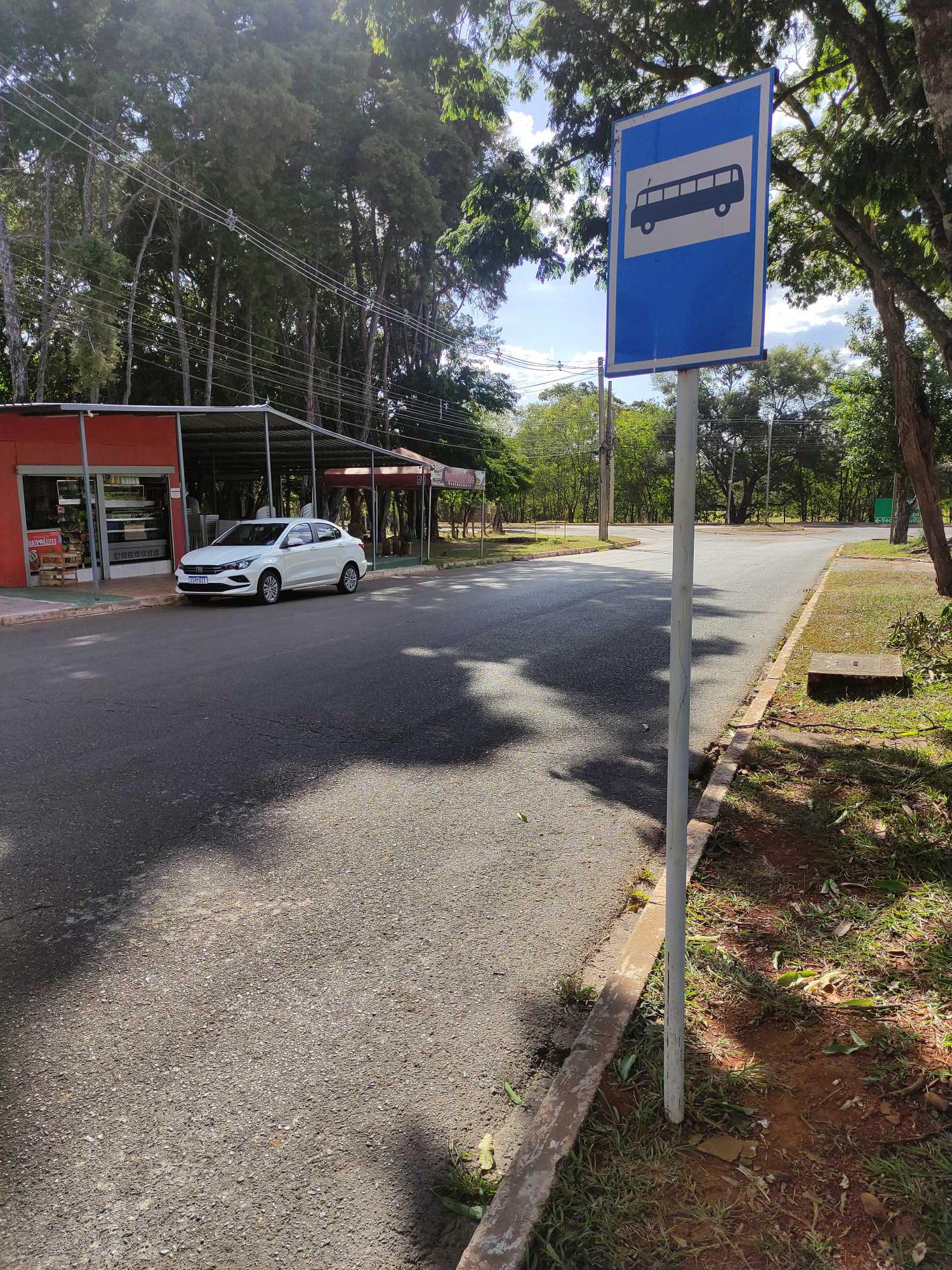 Taken by Anonymous
See Emater stop, Brasília, on the map
Public transit to Emater stop in Brasília
Looking for directions to Emater in Brasília, Brazil?
Download the Moovit App to find the current schedule and step-by-step directions for Bus routes that pass through Emater.
Looking for the nearest stops closest to Emater ? Check out this list of closest stops to your destination: Emater; STN | Bombeiros / Atacadão; STN | 2ª DP / PETZ / Concessionárias; STN | Atacadão / Bombeiros / Term. Asa Norte; TAN | DESEMBARQUE; TAN | PARTIDAS; EPIA.
Bus: 0.128, 0.816, 106.2, 116.2, 128.4, 0.022, 0.023, 128.2, 0.011, 0.016, 0.018, 0.030, 0.167, 0.338, 156.7, 2067, 2374, 022.1, 376.3.
We make riding on public transit to Emater easy, which is why over 1.5 million users, including users in Brasília trust Moovit as the best app for public transit.
Use the app to navigate to popular places including to the airport, hospital, stadium, grocery store, mall, coffee shop, school, college, and university.
The first line to this stop is 106.2, at 8:13 AM, and the last line is 106.2 at 10:03 PM.
This stop serves Área 1 - Piracicabana’s lines
- Emater,
- STN | Bombeiros / Atacadão,
- STN | 2ª DP / PETZ / Concessionárias,
- STN | Atacadão / Bombeiros / Term. Asa Norte,
- TAN | DESEMBARQUE,
- TAN | PARTIDAS,
- EPIA
Bus stops near Emater stop
- DF-250 | Itapoã I | Qd. 2, Conj. I,
- Br-060 Samambaia (Q 519),
- Via Estrutural | Castelo Forte,
- Via Sesc - Qnn 31 (Cesam),
- EPIA | Vila Cauhy,
- EPDB | QL 20 (Neoenergia),
- EPDB | Acesso à Ermida Dom Bosco,
- Conjunto Nacional (LINHAS CIRCULARES),
- Epct | Fabrica Jbs «Oposto»,
- Df-001 | Ccomgex,
- EPNB | Escola Parque da Natureza e do Esporte,
- Via Nm3 - Qnq 4 Cj 1 (Fort Atacadista),
- Res Morada Nobre,
- SHTN | Museu de Arte de Brasília,
- Br 040 - Esplanada V/Parque Marajó,
- Centro, Rua 58/59 (Papiu),
- Via Df-220,
- EPIA | Atacadão Dia a Dia / AOS 7,
- Av. Recanto Das Emas | Qd. 114/115,
- Br-040 | Polícia Rodoviária Federal
Popular public transit stations in Brasília
Get around Brasília by public transit!
Traveling around Brasília has never been so easy. See step by step directions as you travel to any attraction, street or major public transit station. View bus and train schedules, arrival times, service alerts and detailed routes on a map, so you know exactly how to get to anywhere in Brasília.
When traveling to any destination around Brasília use Moovit's Live Directions with Get Off Notifications to know exactly where and how far to walk, how long to wait for your line, and how many stops are left. Moovit will alert you when it's time to get off — no need to constantly re-check whether yours is the next stop.
Wondering how to use public transit in Brasília or how to pay for public transit in Brasília? Moovit public transit app can help you navigate your way with public transit easily, and at minimum cost. It includes public transit fees, ticket prices, and costs. Looking for a map of Brasília public transit lines? Moovit public transit app shows all public transit maps in Brasília with all Bus and Subway routes and stops on an interactive map.
Brasilia Region has 2 transit type(s), including: Bus and Subway, operated by several transit agencies, including Metrô DF, Área 3 - Urbi, Área 2 - Pioneira, Área 1 - Piracicabana, Área 4 - Marechal, Área 5 - BsBus Mobilidade, STPCR - Serviço de Transporte Público Complementar Rural, TCB, Coobrataete, SEMOB - Secretaria de Transporte e Mobilidade do Distrito Federal, Expresso Planalto (MUNICIPAL), Amazônia Inter - (SEMIURBANO), Rede SARAH de Hospitais, Catedral (SEMIURBANO) and CT Expresso (SEMIURBANO)