How to get to Escape Game DC - Georgetown by bus?
Click on the bus route to see step by step directions with maps, line arrival times and updated time schedules.
From 8th St NE (8th st and h st ne), Washington
47 minFrom Ford House Office Building, Washington
45 minFrom U.S. Naval Research Laboratory - NRL, Washington
111 minFrom Cia Headquarters, Fairfax County
56 minFrom Other Half Brewing, Washington
70 minFrom Defense Intelligence Agency Headquarters, Washington
113 minFrom Washington Costco DC, Washington
71 minFrom Naval Research Lab, Washington
111 minFrom McLean, Virginia, Fairfax County
56 minFrom Hilton Garden Inn Reagan National Airport, Arlington County
34 min
How to get to Escape Game DC - Georgetown by metro?
Click on the metro route to see step by step directions with maps, line arrival times and updated time schedules.
Bus stops near Escape Game DC - Georgetown in Washington
Metro stations near Escape Game DC - Georgetown in Washington
Bus lines to Escape Game DC - Georgetown in Washington
What are the closest stations to Escape Game DC - Georgetown?
The closest stations to Escape Game DC - Georgetown are:
- NW M St & NW 34th St is 80 yards away, 2 min walk.
- Prospect St Nw+36 St NW is 297 yards away, 4 min walk.
- M St NW & Wisconsin Ave NW is 512 yards away, 7 min walk.
- Q St Nw+34 St NW is 720 yards away, 9 min walk.
- Rosslyn Metro Station is 1232 yards away, 15 min walk.
- Dupont Circle Metro Station is 1474 yards away, 18 min walk.
Which bus line stops near Escape Game DC - Georgetown?
A58 (West To Ballston)
Which metro lines stop near Escape Game DC - Georgetown?
These metro lines stop near Escape Game DC - Georgetown: BLUE, ORANGE.
What’s the nearest metro station to Escape Game DC - Georgetown in Washington?
The nearest metro station to Escape Game DC - Georgetown in Washington is Rosslyn Metro Station. It’s a 15 min walk away.
What’s the nearest bus station to Escape Game DC - Georgetown in Washington?
The nearest bus station to Escape Game DC - Georgetown in Washington is NW M St & NW 34th St. It’s a 2 min walk away.
What time is the first metro to Escape Game DC - Georgetown in Washington?
The ORANGE is the first metro that goes to Escape Game DC - Georgetown in Washington. It stops nearby at 5:19 AM.
What time is the last metro to Escape Game DC - Georgetown in Washington?
The BLUE is the last metro that goes to Escape Game DC - Georgetown in Washington. It stops nearby at 12:18 AM.
What time is the first bus to Escape Game DC - Georgetown in Washington?
The D80 is the first bus that goes to Escape Game DC - Georgetown in Washington. It stops nearby at 3:10 AM.
What time is the last bus to Escape Game DC - Georgetown in Washington?
The D80 is the last bus that goes to Escape Game DC - Georgetown in Washington. It stops nearby at 3:11 AM.
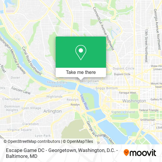
See Escape Game DC - Georgetown, Washington, on the map
Public Transit to Escape Game DC - Georgetown in Washington
Wondering how to get to Escape Game DC - Georgetown in Washington? Moovit helps you find the best way to get to Escape Game DC - Georgetown with step-by-step directions from the nearest public transit station.
Moovit provides free maps and live directions to help you navigate through your city. View schedules, routes, timetables, and find out how long does it take to get to Escape Game DC - Georgetown in real time.
Looking for the nearest stop or station to Escape Game DC - Georgetown? Check out this list of stops closest to your destination: NW M St & NW 34th St; Prospect St Nw+36 St NW; M St NW & Wisconsin Ave NW; Q St Nw+34 St NW; Rosslyn Metro Station; Dupont Circle Metro Station.
Bus: A58, C85, C91, D80, D82, D94, D96.Metro: BLUE, ORANGE, SILVER, RED.
Want to see if there’s another route that gets you there at an earlier time? Moovit helps you find alternative routes or times. Get directions from and directions to Escape Game DC - Georgetown easily from the Moovit App or Website.
We make riding to Escape Game DC - Georgetown easy, which is why over 1.5 million users, including users in Washington, trust Moovit as the best app for public transit. You don’t need to download an individual bus app or train app, Moovit is your all-in-one transit app that helps you find the best bus time or train time available.
For information on prices of bus and metro, costs and ride fares to Escape Game DC - Georgetown, please check the Moovit app.
Use the app to navigate to popular places including to the airport, hospital, stadium, grocery store, mall, coffee shop, school, college, and university.
Escape Game DC - Georgetown Address: 3345 M St NW Washington, DC 20007 street in Washington
- The Tavern-Sweetgreen,
- Chargeitspot,
- Ice Cream Jubilee,
- Escape Room Live DC Georgetown,
- 34th & M St NW,
- Fleet Feet Georget,
- Rug Refringing,
- Embassy of Ukraine DC USA,
- EVgo,
- Rose Health,
- Please Assist Me,
- Eastbanc,
- KKP,
- Halcyon House,
- Maxalto Boffi,
- Pmi Location,
- DMS Perla,
- Kafe Leopold (Leopold's Kafe),
- Kyojin Sushi,
- Georgetown Cucina
Places Near Escape Game DC - Georgetown (Washington)
- National Museum of African American History and Culture, Washington,
- Marriott Marquis Washington, DC, Washington,
- Warner Theatre, Washington,
- National Zoo, Washington,
- Pennsylvania Ave NW (3rd st and pennsylvania), Washington,
- Washington National Cathedral, Washington,
- PG Mall, Prince George's County,
- Amazon Hq2, Arlington County,
- Capital One Arena, Washington,
- Basilica of the National Shrine, Washington,
- Westfield Montgomery Mall, Montgomery County,
- M&T Bank Stadium, Baltimore,
- Georgetown, Washington,
- Washington DC VA Medical Center, Washington,
- Museum Of The Bible, Washington,
- Sibley Memorial Hospital, Washington,
- The Anthem, Washington,
- National Mall, Washington,
- Camden Yards, Baltimore,
- Rock Creek Tennis Center, Washington
How to get to popular places in Washington, D.C. - Baltimore, MD with public transit
Get around Washington by public transit!
Traveling around Washington has never been so easy. See step by step directions as you travel to any attraction, street or major public transit station. View bus and train schedules, arrival times, service alerts and detailed routes on a map, so you know exactly how to get to anywhere in Washington.
When traveling to any destination around Washington use Moovit's Live Directions with Get Off Notifications to know exactly where and how far to walk, how long to wait for your line, and how many stops are left. Moovit will alert you when it's time to get off — no need to constantly re-check whether yours is the next stop.
Wondering how to use public transit in Washington or how to pay for public transit in Washington? Moovit public transit app can help you navigate your way with public transit easily, and at minimum cost. It includes public transit fees, ticket prices, and costs. Looking for a map of Washington public transit lines? Moovit public transit app shows all public transit maps in Washington with all Bus, Train, Metro, Light Rail and Ferry routes and stops on an interactive map.
Washington, D.C. - Baltimore, MD has 5 transit type(s), including: Bus, Train, Metro, Light Rail and Ferry, operated by several transit agencies, including WMATA, Montgomery County Ride On, Fairfax Connector, TheBus, PRTC, DASH - Alexandria, Arlington Transit (ART), RTA of Central Maryland, MDOT MTA, MDOT MTA Light RailLink, MDOT MTA Commuter Bus, MDOT MTA Local Bus, FXBGO!, Virginia Railway Express (VRE) and MARC