Estrada Do Pau-Ferro, 238-250 stop - Wednesday schedule
| Line | Direction | Time |
|---|---|---|
| 306 | Castelo | 4:06 AM |
| 306 | Castelo | 4:21 AM |
| 610 | Nova América / Del Castilho | 4:30 AM |
| 306 | Castelo | 4:41 AM |
| 610 | Nova América / Del Castilho | 4:50 AM |
| 380 | Candelária | 4:51 AM |
| 306 | Castelo | 5:01 AM |
| 610 | Nova América / Del Castilho | 5:05 AM |
| 562 | Pau-Ferro | 5:09 AM |
| 610 | Nova América / Del Castilho | 5:21 AM |
| 306 | Castelo | 5:22 AM |
| 2111 | Castelo | 5:32 AM |
| 562 | Pau-Ferro | 5:33 AM |
| 2112 | Boiúna → Castelo | 5:33 AM |
| 2112 | Castelo | 5:34 AM |
| 610 | Nova América / Del Castilho | 5:36 AM |
| 932 | Gardênia Azul | 5:36 AM |
| 380 | Candelária | 5:41 AM |
| 2111 | Castelo | 5:42 AM |
| 306 | Castelo | 5:42 AM |
| 2111 | Castelo | 5:50 AM |
| 610 | Nova América / Del Castilho | 5:51 AM |
| 2112 | Boiúna → Castelo | 5:53 AM |
| 2111 | Castelo | 5:58 AM |
| 562 | Pau-Ferro | 6:00 AM |
Directions to Estrada Do Pau-Ferro, 238-250 stop (Pechincha) with public transit
The following transit lines have routes that pass near Estrada Do Pau-Ferro, 238-250
 Bus: 2111, 2112, 306, 562, 610.
- Funicular: IGREJA DA PENNA.
How to get to Estrada Do Pau-Ferro, 238-250 stop by bus?
Click on the bus route to see step by step directions with maps, line arrival times and updated time schedules.
Bus stops near Estrada Do Pau-Ferro, 238-250 stop in Pechincha
- Estrada Do Pau-Ferro, 255, 1 min walk,
- Estrada Campo Da Areia, 1, 2 min walk,
Funicular stations near Estrada Do Pau-Ferro, 238-250 station in Pechincha
- José Roiz De Aragão, 50 min walk,
Bus lines to Estrada Do Pau-Ferro, 238-250 stop in Pechincha
- 306, Castelo,
- 380, Candelária,
- 562, Pau-Ferro,
- 610, Nova América / Del Castilho,
- 932, Tanque,
- 2111, Praça Seca,
- 2112, Castelo,
- 987, Gardênia Azul ↔ Pechincha,
What are the closest stations to Estrada Do Pau-Ferro, 238-250?
The closest stations to Estrada Do Pau-Ferro, 238-250 are:
- Estrada Do Pau-Ferro, 255 stop is 32 meters away, 1 min walk.
- Estrada Campo Da Areia, 1 stop is 64 meters away, 2 min walk.
- José Roiz De Aragão station is 3860 meters away, 50 min walk.
Which bus lines stop near Estrada Do Pau-Ferro, 238-250?
These bus lines stop near Estrada Do Pau-Ferro, 238-250: 2111, 2112, 306, 562, 610, 987.
What’s the nearest bus station to Estrada Do Pau-Ferro, 238-250 in Pechincha?
The nearest bus station to Estrada Do Pau-Ferro, 238-250 in Pechincha is Estrada Do Pau-Ferro, 255. It’s a 1 min walk away.
What time is the first bus to Estrada Do Pau-Ferro, 238-250 in Pechincha?
The 562 is the first bus that goes to Estrada Do Pau-Ferro, 238-250 in Pechincha. It stops nearby at 3:45 AM.
What time is the last bus to Estrada Do Pau-Ferro, 238-250 in Pechincha?
The 306 is the last bus that goes to Estrada Do Pau-Ferro, 238-250 in Pechincha. It stops nearby at 11:51 PM.
What time is the first funicular to Estrada Do Pau-Ferro, 238-250 in Pechincha?
The IGREJA DA PENNA is the first funicular that goes to Estrada Do Pau-Ferro, 238-250 in Pechincha. It stops nearby at 8:00 AM.
What time is the last funicular to Estrada Do Pau-Ferro, 238-250 in Pechincha?
The IGREJA DA PENNA is the last funicular that goes to Estrada Do Pau-Ferro, 238-250 in Pechincha. It stops nearby at 5:00 PM.
Estrada Do Pau-Ferro, 238-250 station
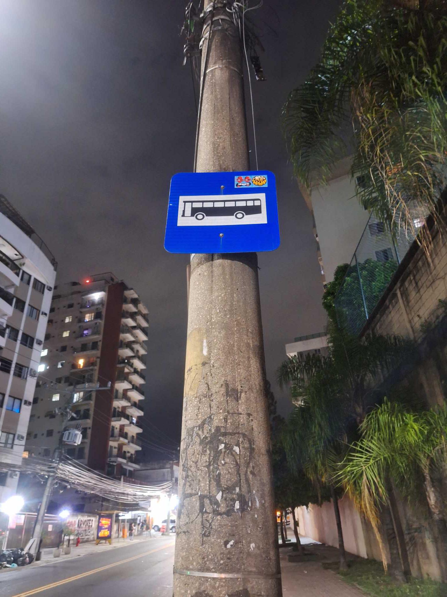 Taken by Anonymous
See Estrada Do Pau-Ferro, 238-250 stop, Pechincha, on the map
Public transit to Estrada Do Pau-Ferro, 238-250 stop (ID: 72598) in Pechincha
Looking for directions to Estrada Do Pau-Ferro, 238-250 in Pechincha, Brazil?
Download the Moovit App to find the current schedule and step-by-step directions for Bus routes that pass through Estrada Do Pau-Ferro, 238-250.
Looking for the nearest stops closest to Estrada Do Pau-Ferro, 238-250 ? Check out this list of closest stops to your destination: Estrada Do Pau-Ferro; Estrada Campo Da Areia; José Roiz De Aragão.
Bus: 2111, 2112, 306, 562, 610, 987, 380, 932.Funicular: IGREJA DA PENNA.
We make riding on public transit to Estrada Do Pau-Ferro, 238-250 easy, which is why over 1.7 billion users, including users in Pechincha trust Moovit as the best app for public transit.
Use the app to navigate to popular places including to the airport, hospital, stadium, grocery store, mall, coffee shop, school, college, and university.
Estrada Do Pau-Ferro, 238-250 stop’s code is 72598
The first line to this stop is 306, at 4:06 AM, and the last line is 610 at 10:40 PM.
228 Estrada Do Pau Ferro, Rio de Janeiro, Brazil
This stop serves Viação Vera Cruz, Transportes Futuro and Viação Redentor’s lines
- Estrada Do Pau-Ferro, 255,
- Estrada Campo Da Areia, 1
Bus stops near Estrada Do Pau-Ferro, 238-250 stop
- José Roiz De Aragão
Funicular station near Estrada Do Pau-Ferro, 238-250 station
- Upa 24h De Austin / Clínica Da Família De Austin,
- Avenida Brasil - Passarela 28 (Fazenda Botafogo),
- Jaconé (1001 - Linhas Rodoviárias),
- Acesso 8 Linha Amarela,
- Bonsucesso,
- Ponto Final - Alto Da Serra (Trel),
- Cidade Do Samba,
- Vila Do João (Sentido Linha Vermelha),
- Rua Dias Da Cruz, 579 | Prezunic (Sentido Méier),
- Rua João Vicente | Garagem Viação Vila Real,
- Posto De Saúde Do Rio Do Ouro,
- Entrada De Mauá | Praia De Mauá,
- Estrada Do Tindiba | Rua Caituba,
- Tanque,
- Estr. De Jacarepaguá | Largo Do Anil,
- Ponto Final - Cabuçu (Evanil),
- Tiradentes,
- Estação De Caxias (Ponto Final - 415t),
- Veridiana,
- Estação Nova Iguaçu
Popular public transit stations in Pechincha
Get around Pechincha by public transit!
Traveling around Pechincha has never been so easy. See step by step directions as you travel to any attraction, street or major public transit station. View bus and train schedules, arrival times, service alerts and detailed routes on a map, so you know exactly how to get to anywhere in Pechincha.
When traveling to any destination around Pechincha use Moovit's Live Directions with Get Off Notifications to know exactly where and how far to walk, how long to wait for your line, and how many stops are left. Moovit will alert you when it's time to get off — no need to constantly re-check whether yours is the next stop.
Wondering how to use public transit in Pechincha or how to pay for public transit in Pechincha? Moovit public transit app can help you navigate your way with public transit easily, and at minimum cost. It includes public transit fees, ticket prices, and costs. Looking for a map of Pechincha public transit lines? Moovit public transit app shows all public transit maps in Pechincha with all Bus, Train, Metro, Light Rail, Ferry, Cable Car, Gondola and Funicular routes and stops on an interactive map.
Rio de Janeiro Region has 8 transit type(s), including: Bus, Train, Metro, Light Rail, Ferry, Cable Car, Gondola and Funicular, operated by several transit agencies, including TrensRJ, Metrô Rio, VLT Carioca, Barcas Rio, BRT MOBI-Rio, Auto Viação Alpha, Auto Viação Tijuca, Gire Transportes, Transurb, Viação Nossa Senhora das Graças, Consórcio INTERSUL, Braso Lisboa, Caprichosa Auto Ônibus, Auto Viação Três Amigos and Rodoviária Âncora Matias