How to get to Evans Funeral Chapel by bus?
Click on the bus route to see step by step directions with maps, line arrival times and updated time schedules.
From Baltimore Poly Tech High School, Baltimore
48 minFrom Medstar Union Memorial Hospital, Baltimore
43 minFrom I-83 Exit 16 (Timonium Road), Baltimore County
69 minFrom Western High School, Baltimore
48 minFrom Baltimore Polytechnic Institute, Baltimore
47 minFrom Johns Hopkins University, Baltimore
49 minFrom Hampden, Baltimore
52 minFrom Franklin Square Dr (franklin hospital), Baltimore County
55 minFrom Megabus Stop - White Marsh Park & Ride, Baltimore County
82 minFrom Middle River, Maryland, Baltimore County
104 min
Bus stop near Evans Funeral Chapel in Baltimore County
- Harford Ave & Putty Hill Ave Sb, 3 min walk,VIEW
Bus lines to Evans Funeral Chapel in Baltimore County
What are the closest stations to Evans Funeral Chapel?
The closest stations to Evans Funeral Chapel are:
- Harford Ave & Putty Hill Ave Sb is 167 yards away, 3 min walk.
Which bus line stops near Evans Funeral Chapel?
54 (Carney Park & Ride)
What’s the nearest bus station to Evans Funeral Chapel in Baltimore County?
The nearest bus station to Evans Funeral Chapel in Baltimore County is Harford Ave & Putty Hill Ave Sb. It’s a 3 min walk away.
What time is the first bus to Evans Funeral Chapel in Baltimore County?
The 54 is the first bus that goes to Evans Funeral Chapel in Baltimore County. It stops nearby at 4:01 AM.
What time is the last bus to Evans Funeral Chapel in Baltimore County?
The 54 is the last bus that goes to Evans Funeral Chapel in Baltimore County. It stops nearby at 3:29 AM.
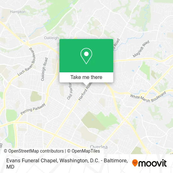
See Evans Funeral Chapel, Baltimore County, on the map
Public Transit to Evans Funeral Chapel in Baltimore County
Wondering how to get to Evans Funeral Chapel in Baltimore County? Moovit helps you find the best way to get to Evans Funeral Chapel with step-by-step directions from the nearest public transit station.
Moovit provides free maps and live directions to help you navigate through your city. View schedules, routes, timetables, and find out how long does it take to get to Evans Funeral Chapel in real time.
Looking for the nearest stop or station to Evans Funeral Chapel? Check out this list of stops closest to your destination: Harford Ave & Putty Hill Ave Sb.
Bus: 54, 154.
Want to see if there’s another route that gets you there at an earlier time? Moovit helps you find alternative routes or times. Get directions from and directions to Evans Funeral Chapel easily from the Moovit App or Website.
We make riding to Evans Funeral Chapel easy, which is why over 1.5 million users, including users in Baltimore County, trust Moovit as the best app for public transit. You don’t need to download an individual bus app or train app, Moovit is your all-in-one transit app that helps you find the best bus time or train time available.
For information on prices of bus, costs and ride fares to Evans Funeral Chapel, please check the Moovit app.
Use the app to navigate to popular places including to the airport, hospital, stadium, grocery store, mall, coffee shop, school, college, and university.
Evans Funeral Chapel Address: 8800 Harford Rd Parkville, MD 21234 street in Baltimore County
- Parkville, Maryland,
- Marvelous Plumbing Service,
- Cornerstone Pharmacy,
- Bsa Troop 26 Parkville,
- Sonja Secrets Aromatherapy & Wellness Lounge,
- Reidentify Wellness & Aesthetics,
- Charles Village Tax Service,
- One Stop,
- Mydas Advanced Esthetics,
- Edu-Odyssey,
- K & G Crabs Inc.,
- Clear View Windows,
- Health Insurance,
- Chris Dental Laboratory, Inc.,
- Assured Protection,
- #1,
- Diamant Andrey Mindy Agt - State Farm Insurance Agent,
- KTS Mental Health Group,
- Edgewood Edgewood MD-147,
- Ensure Construction Rehab
Places Near Evans Funeral Chapel (Baltimore County)
- Camden Yards, Baltimore,
- The Anthem, Washington,
- National Mall, Washington,
- Basilica of the National Shrine, Washington,
- Georgetown, Washington,
- PG Mall, Prince George's County,
- National Museum of African American History and Culture, Washington,
- M&T Bank Stadium, Baltimore,
- Capital One Arena, Washington,
- Rock Creek Tennis Center, Washington,
- Warner Theatre, Washington,
- Sibley Memorial Hospital, Washington,
- Pennsylvania Ave NW (3rd st and pennsylvania), Washington,
- Marriott Marquis Washington, DC, Washington,
- Washington DC VA Medical Center, Washington,
- Amazon Hq2, Arlington County,
- Westfield Montgomery Mall, Montgomery County,
- Washington National Cathedral, Washington,
- Museum Of The Bible, Washington,
- National Zoo, Washington
How to get to popular places in Washington, D.C. - Baltimore, MD with public transit
Get around Baltimore County by public transit!
Traveling around Baltimore County has never been so easy. See step by step directions as you travel to any attraction, street or major public transit station. View bus and train schedules, arrival times, service alerts and detailed routes on a map, so you know exactly how to get to anywhere in Baltimore County.
When traveling to any destination around Baltimore County use Moovit's Live Directions with Get Off Notifications to know exactly where and how far to walk, how long to wait for your line, and how many stops are left. Moovit will alert you when it's time to get off — no need to constantly re-check whether yours is the next stop.
Wondering how to use public transit in Baltimore County or how to pay for public transit in Baltimore County? Moovit public transit app can help you navigate your way with public transit easily, and at minimum cost. It includes public transit fees, ticket prices, and costs. Looking for a map of Baltimore County public transit lines? Moovit public transit app shows all public transit maps in Baltimore County with all Bus, Train, Metro, Light Rail and Ferry routes and stops on an interactive map.
Washington, D.C. - Baltimore, MD has 5 transit type(s), including: Bus, Train, Metro, Light Rail and Ferry, operated by several transit agencies, including WMATA, Montgomery County Ride On, Fairfax Connector, TheBus, PRTC, DASH - Alexandria, Arlington Transit (ART), RTA of Central Maryland, MDOT MTA, MDOT MTA Light RailLink, MDOT MTA Commuter Bus, MDOT MTA Local Bus, FXBGO!, Virginia Railway Express (VRE) and MARC