Directions to Evo Systems, Llc (New Bedford) with public transportation
The following transit lines have routes that pass near Evo Systems, Llc
 Bus: 202, 221, 204.
- Train: FALL RIVER/NEW BEDFORD.
How to get to Evo Systems, Llc by bus?
Click on the bus route to see step by step directions with maps, line arrival times and updated time schedules.
From Walmart Fall River Supercenter, Fall River
103 minFrom Bedford Industrial Park, New Bedford
52 minFrom Bristol Community College, Fall River
90 minFrom Lizzy Borden House, Fall River
68 minFrom Charlton Memorial Hospital, Fall River
109 minFrom B.M.C. Durfee High School, Fall River
89 minFrom Amazon Fulfillment Bos7, Fall River
115 minFrom Mass Maritime Academy, Buzzards Bay
154 minFrom Falmouth MA USA, Falmouth
127 min
How to get to Evo Systems, Llc by train?
Click on the train route to see step by step directions with maps, line arrival times and updated time schedules.
Bus stops near Evo Systems, Llc in New Bedford
Train station near Evo Systems, Llc in New Bedford
- Church Street, 47 min walk,VIEW
Bus lines to Evo Systems, Llc in New Bedford
What are the closest stations to Evo Systems, Llc?
The closest stations to Evo Systems, Llc are:
- Acushnet Ave And Westland St is 305 yards away, 4 min walk.
- Ashley Blvd And Oregon St is 796 yards away, 10 min walk.
- Acushnet Ave And Harwich St is 899 yards away, 11 min walk.
- Church Street is 3992 yards away, 47 min walk.
Which bus lines stop near Evo Systems, Llc?
These bus lines stop near Evo Systems, Llc: 202, 221.
Which train line stops near Evo Systems, Llc?
FALL RIVER/NEW BEDFORD (#2011 | New Bedford)
What’s the nearest bus station to Evo Systems, Llc in New Bedford?
The nearest bus station to Evo Systems, Llc in New Bedford is Acushnet Ave And Westland St. It’s a 4 min walk away.
What time is the first train to Evo Systems, Llc in New Bedford?
The FALL RIVER/NEW BEDFORD is the first train that goes to Evo Systems, Llc in New Bedford. It stops nearby at 4:22 AM.
What time is the last train to Evo Systems, Llc in New Bedford?
The FALL RIVER/NEW BEDFORD is the last train that goes to Evo Systems, Llc in New Bedford. It stops nearby at 1:28 AM.
What time is the first bus to Evo Systems, Llc in New Bedford?
The 202 is the first bus that goes to Evo Systems, Llc in New Bedford. It stops nearby at 5:35 AM.
What time is the last bus to Evo Systems, Llc in New Bedford?
The 202 is the last bus that goes to Evo Systems, Llc in New Bedford. It stops nearby at 9:42 PM.
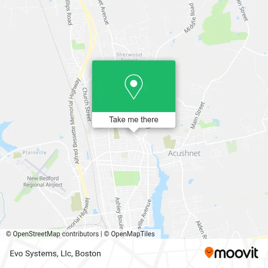
See Evo Systems, Llc, New Bedford, on the map
Public Transit to Evo Systems, Llc in New Bedford
Wondering how to get to Evo Systems, Llc in New Bedford? Moovit helps you find the best way to get to Evo Systems, Llc with step-by-step directions from the nearest public transit station.
Moovit provides free maps and live directions to help you navigate through your city. View schedules, routes, timetables, and find out how long does it take to get to Evo Systems, Llc in real time.
Looking for the nearest stop or station to Evo Systems, Llc? Check out this list of stops closest to your destination: Acushnet Ave And Westland St; Ashley Blvd And Oregon St; Acushnet Ave And Harwich St; Church Street.
Bus: 202, 221, 204.Train: FALL RIVER/NEW BEDFORD.
Want to see if there’s another route that gets you there at an earlier time? Moovit helps you find alternative routes or times. Get directions from and directions to Evo Systems, Llc easily from the Moovit App or Website.
We make riding to Evo Systems, Llc easy, which is why over 1.7 million users, including users in New Bedford, trust Moovit as the best app for public transit. You don’t need to download an individual bus app or train app, Moovit is your all-in-one transit app that helps you find the best bus time or train time available.
For information on prices of bus and train, costs and ride fares to Evo Systems, Llc, please check the Moovit app.
Use the app to navigate to popular places including to the airport, hospital, stadium, grocery store, mall, coffee shop, school, college, and university.
Evo Systems, Llc Address: 2396 Acushnet Ave street in New Bedford
- Almeida Realty Group,
- B Labonte Construction,
- Toast N Jam,
- Made Barbers,
- Church of God in Christ International Massachusetts,
- Treasure Hill Thrift Emporium,
- Kings Wear,
- Illusions Academy of Dance,
- Olivia's Jewelry & Gifts,
- Stephanie's Beauty Salon,
- St Mary's Church,
- Southcoast Junk Re,
- The Potter House / Casa del Alfarero,
- Flower House,
- Propagation Faith Society for,
- St. Gabriel the Archangel Parish,
- Dollar Tree,
- Lunds Corner Driving School,
- Vanessa Renee Slays,
- Thomas Chang
Places Near Evo Systems, Llc (New Bedford)
- Td Garden, Boston,
- Wang Theater, Boston,
- Museum Of Science, Boston,
- North End, Boston,
- Isabella Stewart Gardner Museum, Boston,
- Faneuil Hall, Boston,
- Boston Medical Center, Boston,
- Wilbur Theatre, Boston,
- Prudential Center, Boston,
- Cheers, Boston,
- Boston Common, Boston,
- Mgm Music Hall, Boston,
- House Of Blues, Boston,
- Massachusetts General Hospital, Boston,
- Quincy Market, Boston,
- Boston Children's Hospital, Boston,
- Boston Convention & Exhibition Center, Boston,
- Seaport District, Boston,
- Leader Bank Pavilion (Leader Bank Pavillion), Boston,
- Castle Island, Boston
How to get to popular places in Boston with public transit
Get around New Bedford by public transit!
Traveling around New Bedford has never been so easy. See step by step directions as you travel to any attraction, street or major public transit station. View bus and train schedules, arrival times, service alerts and detailed routes on a map, so you know exactly how to get to anywhere in New Bedford.
When traveling to any destination around New Bedford use Moovit's Live Directions with Get Off Notifications to know exactly where and how far to walk, how long to wait for your line, and how many stops are left. Moovit will alert you when it's time to get off — no need to constantly re-check whether yours is the next stop.
Wondering how to use public transit in New Bedford or how to pay for public transit in New Bedford? Moovit public transit app can help you navigate your way with public transit easily, and at minimum cost. It includes public transit fees, ticket prices, and costs. Looking for a map of New Bedford public transit lines? Moovit public transit app shows all public transit maps in New Bedford with all Bus, Train, Subway and Ferry routes and stops on an interactive map.
Boston has 4 transit type(s), including: Bus, Train, Subway and Ferry, operated by several transit agencies, including MBTA, Southeastern Regional Transit Authority, MetroWest Regional Transit Authority, Rhode Island Public Transit Authority, WRTA, Lowell Regional Transit Authority, Merrimack Valley Transit, Montachusett Regional Transit Authority, Cape Cod Regional Transit Authority, Brockton Area Transit Authority, Martha's Vineyard Transit Authority, the WAVE - Nantucket Regional Transit Authority, GATRA, Cape Ann Transportation Authority and Massport