Directions to Excel Intelligence (Santa Cândida) with public transportation
The following transit lines have routes that pass near Excel Intelligence
How to get to Excel Intelligence by bus?
Click on the bus route to see step by step directions with maps, line arrival times and updated time schedules.
From Estação Tubo PUC, Prado Velho
55 minFrom Estação Tubo Paiol, Prado Velho
58 minFrom Rua Alferes Poli, Rebouças
43 minFrom Alto Da Gloria, Alto Da Glória
40 minFrom Alameda Prudente De Moraes, Centro
55 minFrom Rua Alcides Munhoz, Mercês
54 minFrom Rua Doutor Pedrosa, Centro
44 minFrom Hospital Erasto Gaertner, Jardim Das Américas
42 minFrom Clinimage, Mercês
59 minFrom Rua Brigadeiro Franco, Centro
52 min
Bus stops near Excel Intelligence in Santa Cândida
Bus lines to Excel Intelligence in Santa Cândida
- 233 OLARIA, Terminal Santa Cândida ↻ Olaria (Circular),VIEW
- B11 MARACANÃ / SANTA CÂNDIDA, Terminal Maracanã → Terminal Santa Cândida,VIEW
- B39 CAMPO ALTO / SANTA CÂNDIDA, Terminal Santa Cândida ↺ Campo Alto / Capela do Atuba (Circular),VIEW
- B57 CAMPO ALTO / SANTA CÂNDIDA, Terminal Santa Cândida ↺ Terminal Maracanã (Circular),VIEW
- B58 MARACANÃ / SANTA CÂNDIDA (CIRCULAR), Terminal Santa Cândida ↺ Terminal Maracanã (Circular),VIEW
- 231 BANESTADO / CALIFÓRNIA, Terminal Santa Cândida ↺ Banestado (Circular),VIEW
What are the closest stations to Excel Intelligence?
The closest stations to Excel Intelligence are:
- Jardiente Oswaldo Antônio dos Santos (R. Antônio Fernandes Apolinário, 23) is 151 meters away, 3 min walk.
- Jardiente Oswaldo Antônio dos Santos (Estrada das Olarias, 1520) is 188 meters away, 3 min walk.
- R. Marginal Jalisco is 373 meters away, 6 min walk.
Which bus lines stop near Excel Intelligence?
These bus lines stop near Excel Intelligence: 231 BANESTADO / CALIFÓRNIA, 233 OLARIA, 237 PARQUE ATUBA, B11 MARACANÃ / SANTA CÂNDIDA, B76 SÃO SEBASTIÃO / GUADALUPE.
What’s the nearest bus station to Excel Intelligence in Santa Cândida?
The nearest bus stations to Excel Intelligence in Santa Cândida are Jardiente Oswaldo Antônio dos Santos (R. Antônio Fernandes Apolinário, 23) and Jardiente Oswaldo Antônio dos Santos (Estrada das Olarias, 1520). The closest one is a 3 min walk away.
What time is the first bus to Excel Intelligence in Santa Cândida?
The 231 BANESTADO / CALIFÓRNIA is the first bus that goes to Excel Intelligence in Santa Cândida. It stops nearby at 4:51 AM.
What time is the last bus to Excel Intelligence in Santa Cândida?
The 231 BANESTADO / CALIFÓRNIA is the last bus that goes to Excel Intelligence in Santa Cândida. It stops nearby at 12:41 AM.
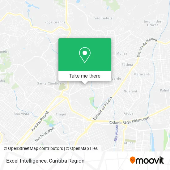
See Excel Intelligence, Santa Cândida, on the map
Public Transit to Excel Intelligence in Santa Cândida
Wondering how to get to Excel Intelligence in Santa Cândida? Moovit helps you find the best way to get to Excel Intelligence with step-by-step directions from the nearest public transit station.
Moovit provides free maps and live directions to help you navigate through your city. View schedules, routes, timetables, and find out how long does it take to get to Excel Intelligence in real time.
Looking for the nearest stop or station to Excel Intelligence? Check out this list of stops closest to your destination: Jardiente Oswaldo Antônio dos Santos (R. Antônio Fernandes Apolinário; Jardiente Oswaldo Antônio dos Santos (Estrada das Olarias; R. Marginal Jalisco.
Bus: 231 BANESTADO / CALIFÓRNIA, 233 OLARIA, 237 PARQUE ATUBA, B11 MARACANÃ / SANTA CÂNDIDA, B76 SÃO SEBASTIÃO / GUADALUPE, B39 CAMPO ALTO / SANTA CÂNDIDA, B57 CAMPO ALTO / SANTA CÂNDIDA, B58 MARACANÃ / SANTA CÂNDIDA (CIRCULAR).
Want to see if there’s another route that gets you there at an earlier time? Moovit helps you find alternative routes or times. Get directions from and directions to Excel Intelligence easily from the Moovit App or Website.
We make riding to Excel Intelligence easy, which is why over 1.5 million users, including users in Santa Cândida, trust Moovit as the best app for public transit. You don’t need to download an individual bus app or train app, Moovit is your all-in-one transit app that helps you find the best bus time or train time available.
For information on prices of bus, costs and ride fares to Excel Intelligence, please check the Moovit app.
Use the app to navigate to popular places including to the airport, hospital, stadium, grocery store, mall, coffee shop, school, college, and university.
Excel Intelligence Address: Rua Pitágoras, 47 Santa Cândida Curitiba-PR 82630-260 street in Santa Cândida
- Artesanal Calhas e Funilaria,
- Sacolao da Praca,
- Rua Cícero 41,
- Superation Fashion,
- Mda Prevencao e Seguranca do Trabalho,
- Weber Carpintaria,
- Ellos,
- Ipda Jardim Cruzeiro Curitiba / PR,
- Miriamgomesalves,
- Luana Nails Designer,
- Limpmais,
- Domino and Zodinhas Pie,
- Rua Antônio Scheidt, 402 - Santa Candida,
- Panificadora Esquina do Pão,
- Pizza Dadiva,
- Juliana Romano,
- Busco and Levo Express,
- Dom Rabruck Pizzaria,
- Tortas Vida,
- Satel Infosat
Places Near Excel Intelligence (Santa Cândida)
- Shopping Palladium, Portão,
- Shopping Estação, Rebouças,
- Rua General Mário Tourinho, Campina Do Siqueira,
- Jockey Plaza Shopping Center, Tarumã,
- Hospital Da Cruz Vermelha, Batel,
- Jardim Botânico de Curitiba PR, Centro,
- Hospital Angelina Caron, Campina Grande Do Sul,
- Parque Barigui, Mercês,
- Hospital Universitário Evangélico de Curitiba, Bigorrilho,
- Hospital de Clínicas (HC - UFPR), Centro,
- Rua Martim Afonso 558, Mercês,
- Arena Da Baixada - Curitiba,
- Park Shopping Barigüi, Mossunguê,
- Campo Largo, Campo,
- Pontifícia Universidade Católica do Paraná (PUCPR), Prado Velho,
- Hhhhh, Fazendinha,
- Hospital Nossa Senhora Das Graças, Mercês,
- Hospital Madalena Sofia, Bairro Alto,
- Hospital Erasto Gaertner, Jardim Das Américas,
- Hospital do Rocio, Campo
How to get to popular places in Curitiba Region with public transit
Get around Santa Cândida by public transit!
Traveling around Santa Cândida has never been so easy. See step by step directions as you travel to any attraction, street or major public transit station. View bus and train schedules, arrival times, service alerts and detailed routes on a map, so you know exactly how to get to anywhere in Santa Cândida.
When traveling to any destination around Santa Cândida use Moovit's Live Directions with Get Off Notifications to know exactly where and how far to walk, how long to wait for your line, and how many stops are left. Moovit will alert you when it's time to get off — no need to constantly re-check whether yours is the next stop.
Wondering how to use public transit in Santa Cândida or how to pay for public transit in Santa Cândida? Moovit public transit app can help you navigate your way with public transit easily, and at minimum cost. It includes public transit fees, ticket prices, and costs. Looking for a map of Santa Cândida public transit lines? Moovit public transit app shows all public transit maps in Santa Cândida with all Bus and Cable Car routes and stops on an interactive map.
Curitiba Region has 2 transit type(s), including: Bus and Cable Car, operated by several transit agencies, including Sistema Integrado de Mobilidade (URBS), Sistema Integrado de Mobilidade (AMEP), URBS (Cartões bancários e Dinheiro), URBS (Cartões bancários / Cartão URBS), AMEP (Cartões bancários / Cartão MetroCard), AMEP (Cartões bancários / Cartão MetroCard / Dinheiro), Viação Colombo (Dinheiro), TRIAR (Cartão TRIAR / Dinheiro), Empresa Curitiba Cerro Azul (Dinheiro), Expresso Nossa Senhora da Penha (Dinheiro), Empresa Campo Alto Tijucas (Dinheiro), Auto Viação São José (Cartão VEM / Dinheiro), BRT S/A (Cartão VEM / Dinheiro), TransPiedade (Cartão Cidadão / Dinheiro) and Oceânica Sul (Cartão Transporte / Dinheiro)