How to get to Expan Chapas by bus?
Click on the bus route to see step by step directions with maps, line arrival times and updated time schedules.
Bus stops near Expan Chapas in Imperatriz
Bus lines to Expan Chapas in Imperatriz
What are the closest stations to Expan Chapas?
The closest stations to Expan Chapas are:
- Croi (B/C) is 52 meters away, 1 min walk.
- Rua Luís Domingues X Br-010 (C/B) is 343 meters away, 5 min walk.
Which bus line stops near Expan Chapas?
031 (Imperatriz)
What’s the nearest bus station to Expan Chapas in Imperatriz?
The nearest bus station to Expan Chapas in Imperatriz is Croi (B/C). It’s a 1 min walk away.
What time is the first bus to Expan Chapas in Imperatriz?
The 031 is the first bus that goes to Expan Chapas in Imperatriz. It stops nearby at 5:48 AM.
What time is the last bus to Expan Chapas in Imperatriz?
The 002 is the last bus that goes to Expan Chapas in Imperatriz. It stops nearby at 10:58 PM.
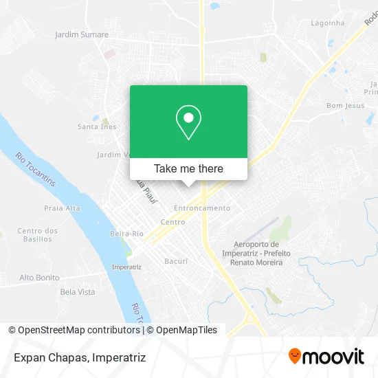
See Expan Chapas, Imperatriz, on the map
Public Transit to Expan Chapas in Imperatriz
Wondering how to get to Expan Chapas in Imperatriz? Moovit helps you find the best way to get to Expan Chapas with step-by-step directions from the nearest public transit station.
Moovit provides free maps and live directions to help you navigate through your city. View schedules, routes, timetables, and find out how long does it take to get to Expan Chapas in real time.
Looking for the nearest stop or station to Expan Chapas? Check out this list of stops closest to your destination: Croi (B/C); Rua Luís Domingues X Br-010 (C/B).
Bus: 031, 002, 011, 012.
Want to see if there’s another route that gets you there at an earlier time? Moovit helps you find alternative routes or times. Get directions from and directions to Expan Chapas easily from the Moovit App or Website.
We make riding to Expan Chapas easy, which is why over 1.5 million users, including users in Imperatriz, trust Moovit as the best app for public transit. You don’t need to download an individual bus app or train app, Moovit is your all-in-one transit app that helps you find the best bus time or train time available.
For information on prices of bus, costs and ride fares to Expan Chapas, please check the Moovit app.
Use the app to navigate to popular places including to the airport, hospital, stadium, grocery store, mall, coffee shop, school, college, and university.
Expan Chapas Address: Rua Marechal Costa e Silva, Imperatriz Imperatriz-MA 65903-160 street in Imperatriz
- W W Embelleze,
- Assistencia Técnica -BIO PC COMPUTADORES,
- Rua Marechal Costa e Silva,
- Batuque,
- Wall Lanches,
- Mateus Supermercados,
- Bairro Entroncamento,
- Josano Bar,
- Ph Sousa Engenharia,
- Condominio dos Ipes,
- Domingas,
- Alinternet,
- Igreja Nossa Senhora Do Carmo,
- Tocantina Construtora,
- Fps Segurancas e Serviços,
- Neurosenses T.O,
- Ferrovil Ferro Velho do Davi,
- Preven Clínica,
- Reabi,
- Construmar
Places Near Expan Chapas (Imperatriz)
- Jardim Sumare, Imperatriz,
- Imperatriz - MA, Imperatriz,
- Rua alagoas, Imperatriz,
- Parque Santa Lúcia, Imperatriz,
- Oqd, Imperatriz,
- Rua Urbano Santos, Imperatriz,
- Loteamento Jardim das Oliveiras, Imperatriz,
- Rua João Lisboa, Imperatriz,
- Cabaré da Nilde, Imperatriz,
- BR 010 KM 260, Imperatriz,
- Bairro Jardim Tropical, Imperatriz,
- Bairro Novo Horizonte, Imperatriz,
- Vila Fiquene, Imperatriz,
- Sebastião Regis, Imperatriz,
- Bairro Vila Nova, Imperatriz,
- Rodovia BR-010 100, Imperatriz,
- Cabare da Maria Preta, Imperatriz,
- pe de macauba, Imperatriz,
- Bairro Maranhão Novo, Imperatriz,
- Rua Bom Futuro, Imperatriz
How to get to popular places in Imperatriz with public transit
Get around Imperatriz by public transit!
Traveling around Imperatriz has never been so easy. See step by step directions as you travel to any attraction, street or major public transit station. View bus and train schedules, arrival times, service alerts and detailed routes on a map, so you know exactly how to get to anywhere in Imperatriz.
When traveling to any destination around Imperatriz use Moovit's Live Directions with Get Off Notifications to know exactly where and how far to walk, how long to wait for your line, and how many stops are left. Moovit will alert you when it's time to get off — no need to constantly re-check whether yours is the next stop.
Wondering how to use public transit in Imperatriz or how to pay for public transit in Imperatriz? Moovit public transit app can help you navigate your way with public transit easily, and at minimum cost. It includes public transit fees, ticket prices, and costs. Looking for a map of Imperatriz public transit lines? Moovit public transit app shows all public transit maps in Imperatriz with all bus routes and stops on an interactive map.
Imperatriz has 1 transit type(s), including: bus, operated by several transit agencies, including Ratrans (Imperatriz)