How to get to Express by bus?
Click on the bus route to see step by step directions with maps, line arrival times and updated time schedules.
From Mosaic District, Fairfax County
28 minFrom Walmart, Arlington County
45 minFrom George H.W. Bush Center For Intelligence (CIA Headquarters), Fairfax County
75 minFrom Eden Center, Falls Church
39 minFrom Northern Virginia Community College - Annandale Campus, Fairfax County
69 minFrom The Westin Arlington Gateway, Arlington County
47 minFrom Defense Health Headquarters (DHHQ), Fairfax County
59 minFrom Sibley Memorial Hospital, Washington
113 minFrom Fairfax County Courthouse, Fairfax County
69 minFrom Intelligence Community Campus—Bethesda, Montgomery County
108 min
How to get to Express by metro?
Click on the metro route to see step by step directions with maps, line arrival times and updated time schedules.
Bus stops near Express in Fairfax County
- International Dr @ Fletcher St, 2 min walk,VIEW
- Tysons Corner Center, 4 min walk,VIEW
- Tysons Corner Ctr+Parking Terrace C (Stop 2), 4 min walk,VIEW
- Tysons Corner Ctr+Parking Terrace C (Stop 1), 5 min walk,VIEW
- Tysons Corner Metro Bay F, 5 min walk,VIEW
- Tysons Corner Metro Station Departures, 8 min walk,VIEW
Metro stations near Express in Fairfax County
Bus lines to Express in Fairfax County
What are the closest stations to Express?
The closest stations to Express are:
- International Dr @ Fletcher St is 93 yards away, 2 min walk.
- Tysons Corner Center is 199 yards away, 4 min walk.
- Tysons Corner Ctr+Parking Terrace C (Stop 2) is 220 yards away, 4 min walk.
- Tysons Corner Ctr+Parking Terrace C (Stop 1) is 258 yards away, 5 min walk.
- Tysons Corner Metro Bay F is 287 yards away, 5 min walk.
- Tysons Corner Metro Station Departures is 565 yards away, 8 min walk.
- Spring Hill is 2683 yards away, 32 min walk.
- West Falls Church-Vt is 3599 yards away, 43 min walk.
Which bus lines stop near Express?
These bus lines stop near Express: 401, 798, A70, F20.
Which metro line stops near Express?
SILVER (Ashburn)
What’s the nearest bus station to Express in Fairfax County?
The nearest bus station to Express in Fairfax County is International Dr @ Fletcher St. It’s a 2 min walk away.
What time is the first metro to Express in Fairfax County?
The SILVER is the first metro that goes to Express in Fairfax County. It stops nearby at 5:07 AM.
What time is the last metro to Express in Fairfax County?
The SILVER is the last metro that goes to Express in Fairfax County. It stops nearby at 12:43 AM.
What time is the first bus to Express in Fairfax County?
The 401 is the first bus that goes to Express in Fairfax County. It stops nearby at 4:27 AM.
What time is the last bus to Express in Fairfax County?
The F20 is the last bus that goes to Express in Fairfax County. It stops nearby at 2:03 AM.
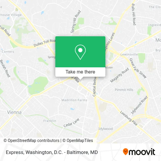
See Express, Fairfax County, on the map
Public Transit to Express in Fairfax County
Wondering how to get to Express in Fairfax County? Moovit helps you find the best way to get to Express with step-by-step directions from the nearest public transit station.
Moovit provides free maps and live directions to help you navigate through your city. View schedules, routes, timetables, and find out how long does it take to get to Express in real time.
Looking for the nearest stop or station to Express? Check out this list of stops closest to your destination: International Dr @ Fletcher St; Tysons Corner Center; Tysons Corner Ctr+Parking Terrace C (Stop 2); Tysons Corner Ctr+Parking Terrace C (Stop 1); Tysons Corner Metro Bay F; Tysons Corner Metro Station Departures; Spring Hill; West Falls Church-Vt.
Bus: 401, 798, A70, F20, 402, 462, 467, 721.Metro: SILVER, ORANGE.
Want to see if there’s another route that gets you there at an earlier time? Moovit helps you find alternative routes or times. Get directions from and directions to Express easily from the Moovit App or Website.
We make riding to Express easy, which is why over 1.5 million users, including users in Fairfax County, trust Moovit as the best app for public transit. You don’t need to download an individual bus app or train app, Moovit is your all-in-one transit app that helps you find the best bus time or train time available.
For information on prices of bus and metro, costs and ride fares to Express, please check the Moovit app.
Use the app to navigate to popular places including to the airport, hospital, stadium, grocery store, mall, coffee shop, school, college, and university.
Express Address: 1961 Chain Bridge Rd McLean, VA 22102 street in Fairfax County
- Southeast Service,
- Under the Olive Tree,
- Fairfax County Convention and Visitors,
- Spencer's,
- Charlie Changs,
- Famous Famiglia Pizza,
- Proactiv Kiosk,
- Perfect Eyebrows,
- Christopher H Son Od,
- Pandora,
- Catimini,
- Hickory Farm,
- Richard M Davidson Dr,
- Brighton Collectibles,
- Sunglass Hut,
- L & B Institutional Property Manage,
- Philadelphia Cheese Steak Factory,
- Sprint,
- Silver Diner-Tysons Corner,
- Alpha Omega Integration
Places Near Express (Fairfax County)
- National Mall, Washington,
- Westfield Montgomery Mall, Montgomery County,
- Rock Creek Tennis Center, Washington,
- M&T Bank Stadium, Baltimore,
- Pennsylvania Ave NW (3rd st and pennsylvania), Washington,
- National Zoo, Washington,
- National Museum of African American History and Culture, Washington,
- Capital One Arena, Washington,
- Georgetown, Washington,
- Washington National Cathedral, Washington,
- Museum Of The Bible, Washington,
- Marriott Marquis Washington, DC, Washington,
- Washington DC VA Medical Center, Washington,
- PG Mall, Prince George's County,
- Basilica of the National Shrine, Washington,
- The Anthem, Washington,
- Warner Theatre, Washington,
- Sibley Memorial Hospital, Washington,
- Amazon Hq2, Arlington County,
- Camden Yards, Baltimore
How to get to popular places in Washington, D.C. - Baltimore, MD with public transit
Get around Fairfax County by public transit!
Traveling around Fairfax County has never been so easy. See step by step directions as you travel to any attraction, street or major public transit station. View bus and train schedules, arrival times, service alerts and detailed routes on a map, so you know exactly how to get to anywhere in Fairfax County.
When traveling to any destination around Fairfax County use Moovit's Live Directions with Get Off Notifications to know exactly where and how far to walk, how long to wait for your line, and how many stops are left. Moovit will alert you when it's time to get off — no need to constantly re-check whether yours is the next stop.
Wondering how to use public transit in Fairfax County or how to pay for public transit in Fairfax County? Moovit public transit app can help you navigate your way with public transit easily, and at minimum cost. It includes public transit fees, ticket prices, and costs. Looking for a map of Fairfax County public transit lines? Moovit public transit app shows all public transit maps in Fairfax County with all Bus, Train, Metro, Light Rail and Ferry routes and stops on an interactive map.
Washington, D.C. - Baltimore, MD has 5 transit type(s), including: Bus, Train, Metro, Light Rail and Ferry, operated by several transit agencies, including WMATA, Montgomery County Ride On, Fairfax Connector, TheBus, PRTC, DASH - Alexandria, Arlington Transit (ART), RTA of Central Maryland, MDOT MTA, MDOT MTA Light RailLink, MDOT MTA Commuter Bus, MDOT MTA Local Bus, FXBGO!, Virginia Railway Express (VRE) and MARC