Bus stop near Express Check Advance in Tazewell County
- Gateway Shopping Center, 1 min walk,VIEW
Bus lines to Express Check Advance in Tazewell County
- RICHLANDS TO POUNDING MILL CONNECTOR, Claypool Hill,VIEW
- Clinch River Trading Post,
- Randy's Gateway Drug,
- S&L Grilling Out,
- Ray's A To Z Office Supplies,
- Christy Asbury - Berkshire Hathaway,
- Century 21,
- Italian Village,
- Radioshack,
- The Original Italian Village,
- Globalgreen Insurance Agency,
- Allstate Insurance,
- Patton Karen Ins,
- Flexcheck Cash Advance Center,
- Wric Radio,
- Attitude Arts Academy,
- 460 Supply Inc of Virginia,
- Channel Trek,
- MCNB Bank & Trust Company,
- ATM,
- Truist Bank
Places Near Express Check Advance (Tazewell County)
- Sibley Memorial Hospital, Washington,
- Camden Yards, Baltimore,
- Rock Creek Tennis Center, Washington,
- Marriott Marquis Washington, DC, Washington,
- The Anthem, Washington,
- Westfield Montgomery Mall, Montgomery County,
- Washington DC VA Medical Center, Washington,
- Amazon Hq2, Arlington County,
- Georgetown, Washington,
- Capital One Arena, Washington,
- M&T Bank Stadium, Baltimore,
- National Mall, Washington,
- National Zoo, Washington,
- Pennsylvania Ave NW (3rd st and pennsylvania), Washington,
- PG Mall, Prince George's County,
- Basilica of the National Shrine, Washington,
- Warner Theatre, Washington,
- National Museum of African American History and Culture, Washington,
- Museum Of The Bible, Washington,
- Washington National Cathedral, Washington
How to get to popular places in Washington, D.C. - Baltimore, MD with public transit
What are the closest stations to Express Check Advance?
The closest stations to Express Check Advance are:
- Gateway Shopping Center is 66 yards away, 1 min walk.
What’s the nearest bus station to Express Check Advance in Tazewell County?
The nearest bus station to Express Check Advance in Tazewell County is Gateway Shopping Center. It’s a 1 min walk away.
What time is the first bus to Express Check Advance in Tazewell County?
The RICHLANDS TO POUNDING MILL CONNECTOR is the first bus that goes to Express Check Advance in Tazewell County. It stops nearby at 9:03 AM.
What time is the last bus to Express Check Advance in Tazewell County?
The RICHLANDS TO POUNDING MILL CONNECTOR is the last bus that goes to Express Check Advance in Tazewell County. It stops nearby at 5:03 PM.
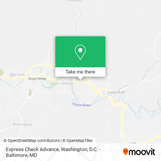
See Express Check Advance, Tazewell County, on the map
Public Transit to Express Check Advance in Tazewell County
Wondering how to get to Express Check Advance in Tazewell County? Moovit helps you find the best way to get to Express Check Advance with step-by-step directions from the nearest public transit station.
Moovit provides free maps and live directions to help you navigate through your city. View schedules, routes, timetables, and find out how long does it take to get to Express Check Advance in real time.
Looking for the nearest stop or station to Express Check Advance? Check out this list of stops closest to your destination: Gateway Shopping Center.
Want to see if there’s another route that gets you there at an earlier time? Moovit helps you find alternative routes or times. Get directions from and directions to Express Check Advance easily from the Moovit App or Website.
We make riding to Express Check Advance easy, which is why over 1.5 million users, including users in Tazewell County, trust Moovit as the best app for public transit. You don’t need to download an individual bus app or train app, Moovit is your all-in-one transit app that helps you find the best bus time or train time available.
Use the app to navigate to popular places including to the airport, hospital, stadium, grocery store, mall, coffee shop, school, college, and university.
Express Check Advance Address: 3120 W Cedar Valley Dr Richlands, VA 24641 street in Tazewell County
Get around Tazewell County by public transit!
Traveling around Tazewell County has never been so easy. See step by step directions as you travel to any attraction, street or major public transit station. View bus and train schedules, arrival times, service alerts and detailed routes on a map, so you know exactly how to get to anywhere in Tazewell County.
When traveling to any destination around Tazewell County use Moovit's Live Directions with Get Off Notifications to know exactly where and how far to walk, how long to wait for your line, and how many stops are left. Moovit will alert you when it's time to get off — no need to constantly re-check whether yours is the next stop.
Wondering how to use public transit in Tazewell County or how to pay for public transit in Tazewell County? Moovit public transit app can help you navigate your way with public transit easily, and at minimum cost. It includes public transit fees, ticket prices, and costs. Looking for a map of Tazewell County public transit lines? Moovit public transit app shows all public transit maps in Tazewell County with all Bus, Train, Metro, Light Rail and Ferry routes and stops on an interactive map.
Washington, D.C. - Baltimore, MD has 5 transit type(s), including: Bus, Train, Metro, Light Rail and Ferry, operated by several transit agencies, including WMATA, Montgomery County Ride On, Fairfax Connector, TheBus, PRTC, DASH - Alexandria, Arlington Transit (ART), RTA of Central Maryland, MDOT MTA, MDOT MTA Light RailLink, MDOT MTA Commuter Bus, MDOT MTA Local Bus, FXBGO!, Virginia Railway Express (VRE) and MARC