How to get to Express Sign Service by bus?
Click on the bus route to see step by step directions with maps, line arrival times and updated time schedules.
From Colombian Consulate, Miami
64 minFrom Hampton Inn by Hilton Coconut Grove Coral Gables Miami, Miami
83 minFrom SW 72nd St / US-1, Miami
69 minFrom Mt Sinai Medical Center, Miami
74 minFrom Department of Children and Families, Miami
71 minFrom Amtrak, Miami
105 minFrom South Miami Hospital, Miami
68 minFrom AMC Sunset Place 24, Miami
75 minFrom Baptist Health South Florida South Miami Hospital, Miami
67 minFrom Sylvester Comprehensive Cancer Center, Miami
94 min
Bus stops near Express Sign Service in North Westside
Bus lines to Express Sign Service in North Westside
What are the closest stations to Express Sign Service?
The closest stations to Express Sign Service are:
- Sams Club is 793 yards away, 10 min walk.
- Nw 25 St & Nw 79 Av is 1498 yards away, 18 min walk.
- Milam Dairy Rd & Nw 14 St is 1777 yards away, 21 min walk.
- The Landings at MIA (Coporate Center) is 2403 yards away, 29 min walk.
Which bus lines stop near Express Sign Service?
These bus lines stop near Express Sign Service: 36, 73, DLOOP2.
What’s the nearest bus station to Express Sign Service in North Westside?
The nearest bus station to Express Sign Service in North Westside is Sams Club. It’s a 10 min walk away.
What time is the first bus to Express Sign Service in North Westside?
The 36 is the first bus that goes to Express Sign Service in North Westside. It stops nearby at 4:13 AM.
What time is the last bus to Express Sign Service in North Westside?
The 36 is the last bus that goes to Express Sign Service in North Westside. It stops nearby at 12:40 AM.
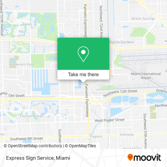
See Express Sign Service, North Westside, on the map
Public Transit to Express Sign Service in North Westside
Wondering how to get to Express Sign Service in North Westside? Moovit helps you find the best way to get to Express Sign Service with step-by-step directions from the nearest public transit station.
Moovit provides free maps and live directions to help you navigate through your city. View schedules, routes, timetables, and find out how long does it take to get to Express Sign Service in real time.
Looking for the nearest stop or station to Express Sign Service? Check out this list of stops closest to your destination: Sams Club; Nw 25 St & Nw 79 Av; Milam Dairy Rd & Nw 14 St; The Landings at MIA (Coporate Center).
Bus: 36, 73, DLOOP2, DLOOP1, 115.
Want to see if there’s another route that gets you there at an earlier time? Moovit helps you find alternative routes or times. Get directions from and directions to Express Sign Service easily from the Moovit App or Website.
We make riding to Express Sign Service easy, which is why over 1.5 million users, including users in North Westside, trust Moovit as the best app for public transit. You don’t need to download an individual bus app or train app, Moovit is your all-in-one transit app that helps you find the best bus time or train time available.
For information on prices of bus and train, costs and ride fares to Express Sign Service, please check the Moovit app.
Use the app to navigate to popular places including to the airport, hospital, stadium, grocery store, mall, coffee shop, school, college, and university.
Express Sign Service Address: 1607 NW 79th Ave Miami, FL 33126 street in North Westside
- Mokau,
- Eco Custom Filters,
- Chicha Power,
- Palmita Juice,
- Worldwide Bistro,
- Tacos El Calvario,
- Churreria la Cordobesa,
- Stedi Press,
- Prime Salon Services,
- Luggage & More,
- Aloha Freight Ways,
- Miami Dade Police Department Special Patrol Bureau,
- Skypostal,
- Modular Show Displays,
- Infinity Sound,
- South Florida Welding,
- T & E Roofing,
- Agm Supply,
- Miami Party Supply,
- Miami Total Marine
Places Near Express Sign Service (North Westside)
- Wynwood, Miami,
- Bayside Marketplace, Miami,
- Aventura Mall, Miami Beach,
- Port of Miami Cruise Terminal, Miami,
- Zoo Miami, Miami,
- Miami-Dade County Courthouse, Miami,
- Sawgrass Mall, Miami,
- Brickell City Centre, Miami,
- Miami Freedom Park, Miami,
- Aventura Mall, Miami,
- Richard E. Gerstein Justice Building, Miami,
- Dolphin Mall, Miami,
- Dolphin Mall Bus, Miami,
- Keiser University Flagship Campus, West Palm Beach,
- Little Havana, Miami,
- Marlins Park, Miami,
- Miami VA Hospital, Miami,
- Hard Rock Stadium, Miami Gardens,
- Miami Design District, Miami,
- Sawgrass mall ( FL ), Miami Beach
How to get to popular places in Miami with public transit
Get around North Westside by public transit!
Traveling around North Westside has never been so easy. See step by step directions as you travel to any attraction, street or major public transit station. View bus and train schedules, arrival times, service alerts and detailed routes on a map, so you know exactly how to get to anywhere in North Westside.
When traveling to any destination around North Westside use Moovit's Live Directions with Get Off Notifications to know exactly where and how far to walk, how long to wait for your line, and how many stops are left. Moovit will alert you when it's time to get off — no need to constantly re-check whether yours is the next stop.
Wondering how to use public transit in North Westside or how to pay for public transit in North Westside? Moovit public transit app can help you navigate your way with public transit easily, and at minimum cost. It includes public transit fees, ticket prices, and costs. Looking for a map of North Westside public transit lines? Moovit public transit app shows all public transit maps in North Westside with all Bus, Train, Light Rail and Ferry routes and stops on an interactive map.
Miami has 4 transit type(s), including: Bus, Train, Light Rail and Ferry, operated by several transit agencies, including Broward County Transit, Miami-Dade Transit, Metrorail, Palm Tran, Tri-Rail, Brightline, MARTY, City of Homestead Trolley, Key West Transit, Treasure Coast Connector, GoLine IRT, Amtrak, Greyhound-us, FlixBus-us and Aventura Express Shuttle Bus