How to get to Extra Space Storage by train?
Click on the train route to see step by step directions with maps, line arrival times and updated time schedules.
Train station near Extra Space Storage in Stanhope
- Mount Olive, 40 min walk,VIEW
What are the closest stations to Extra Space Storage?
The closest stations to Extra Space Storage are:
- Mount Olive is 3340 yards away, 40 min walk.
Which train line stops near Extra Space Storage?
MEL (Dover)
What time is the first train to Extra Space Storage in Stanhope?
The ML is the first train that goes to Extra Space Storage in Stanhope. It stops nearby at 5:13 AM.
What time is the last train to Extra Space Storage in Stanhope?
The ML is the last train that goes to Extra Space Storage in Stanhope. It stops nearby at 11:58 PM.
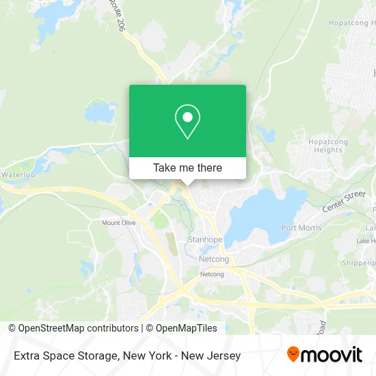
See Extra Space Storage, Stanhope, on the map
Public Transit to Extra Space Storage in Stanhope
Wondering how to get to Extra Space Storage in Stanhope? Moovit helps you find the best way to get to Extra Space Storage with step-by-step directions from the nearest public transit station.
Moovit provides free maps and live directions to help you navigate through your city. View schedules, routes, timetables, and find out how long does it take to get to Extra Space Storage in real time.
Looking for the nearest stop or station to Extra Space Storage? Check out this list of stops closest to your destination: Mount Olive.
Train: MEL, ML.
Want to see if there’s another route that gets you there at an earlier time? Moovit helps you find alternative routes or times. Get directions from and directions to Extra Space Storage easily from the Moovit App or Website.
We make riding to Extra Space Storage easy, which is why over 1.5 million users, including users in Stanhope, trust Moovit as the best app for public transit. You don’t need to download an individual bus app or train app, Moovit is your all-in-one transit app that helps you find the best bus time or train time available.
For information on prices of train and bus, costs and ride fares to Extra Space Storage, please check the Moovit app.
Use the app to navigate to popular places including to the airport, hospital, stadium, grocery store, mall, coffee shop, school, college, and university.
Extra Space Storage Address: 159 State Route 183 street in Stanhope
- Metro Self Storage - Stanhope,
- Route 183 Dell Road,
- Dr. Donato Soranno,
- Don C Defilippis Dmd,
- Provident Bank,
- Aquino Music School,
- The Plumbing Store,
- Krauszers Food Store,
- Western Union,
- Netcong True Value Hardware,
- Blink by Mack,
- Isshinryu Traditional Karate Do,
- Napa Auto Parts,
- Napa Of Stanhope,
- Stanhope Tiger Mart,
- Green Life Lawn Services Llc,
- Dream Concepts Contracting Llc,
- Montella Dumpster Rental NJ,
- High Point Clubhouse,
- Capco Sports
Places Near Extra Space Storage (Stanhope)
- Times Square, Manhattan,
- SoHo, Manhattan,
- 1 Police Plaza, Manhattan,
- 3 Stone St, Manhattan,
- Mountainside Hospital, Glen Ridge,
- 111 Centre New York City Supreme Court, Manhattan,
- Katz's Deli, Manhattan,
- Rockefeller Center, Manhattan,
- 376 Hudson Street, Manhattan,
- Hudson Yards, Manhattan,
- Bellevue Hospital, Manhattan,
- 66 John Street, Manhattan,
- Pier 83, Manhattan,
- Wall Street, Manhattan,
- San Gennaro Feast, Manhattan,
- 26 Federal Plaza, Manhattan,
- 911 Memorial, Manhattan,
- Chinatown, Manhattan,
- qqqq, Manhattan,
- Queens Center Mall, Queens
How to get to popular places in New York - New Jersey with public transit
Get around Stanhope by public transit!
Traveling around Stanhope has never been so easy. See step by step directions as you travel to any attraction, street or major public transit station. View bus and train schedules, arrival times, service alerts and detailed routes on a map, so you know exactly how to get to anywhere in Stanhope.
When traveling to any destination around Stanhope use Moovit's Live Directions with Get Off Notifications to know exactly where and how far to walk, how long to wait for your line, and how many stops are left. Moovit will alert you when it's time to get off — no need to constantly re-check whether yours is the next stop.
Wondering how to use public transit in Stanhope or how to pay for public transit in Stanhope? Moovit public transit app can help you navigate your way with public transit easily, and at minimum cost. It includes public transit fees, ticket prices, and costs. Looking for a map of Stanhope public transit lines? Moovit public transit app shows all public transit maps in Stanhope with all Bus, Train, Subway, Light Rail, Ferry and Cable Car routes and stops on an interactive map.
New York - New Jersey has 6 transit type(s), including: Bus, Train, Subway, Light Rail, Ferry and Cable Car, operated by several transit agencies, including MTA Subway, Metro-North Railroad, LIRR, PATH, MTA New York City Transit - Express routes, MTA Bus, NJ Transit, NYC Ferry, NICE bus, Bee-Line Bus, NJ Transit Rail, Norwalk Transit District, Hartford Line, River Valley Transit and HART