How to get to Exxon by bus?
Click on the bus route to see step by step directions with maps, line arrival times and updated time schedules.
From Terminal Aeropuerto Internacional del Miami, Miami
81 minFrom St Thomas University, Miami
72 minFrom Tri Rail Metrorail Transfer Station, Miami
67 minFrom NW 87th Ave / NW 25th St, North Westside
70 minFrom The Institute of Contemporary Art Miami, North Westside
164 minFrom NW 95th St / NW 17th Ave, Miami
56 minFrom Golden Glades, Miami
78 minFrom Ebay Store, Miami
84 minFrom Florida Memorial University, Miami
67 minFrom Embassy Suites by Hilton Miami International Airport, Miami
69 min
Bus stops near Exxon in Hialeah
What are the closest stations to Exxon?
The closest stations to Exxon are:
- W 12 Av & W 66 St is 46 yards away, 1 min walk.
- W 16 Av @ W 62 St is 930 yards away, 11 min walk.
Which bus lines stop near Exxon?
These bus lines stop near Exxon: 183, HIAMAR.
What’s the nearest bus station to Exxon in Hialeah?
The nearest bus station to Exxon in Hialeah is W 12 Av & W 66 St. It’s a 1 min walk away.
What time is the first bus to Exxon in Hialeah?
The 183 is the first bus that goes to Exxon in Hialeah. It stops nearby at 4:42 AM.
What time is the last bus to Exxon in Hialeah?
The 183 is the last bus that goes to Exxon in Hialeah. It stops nearby at 12:10 AM.
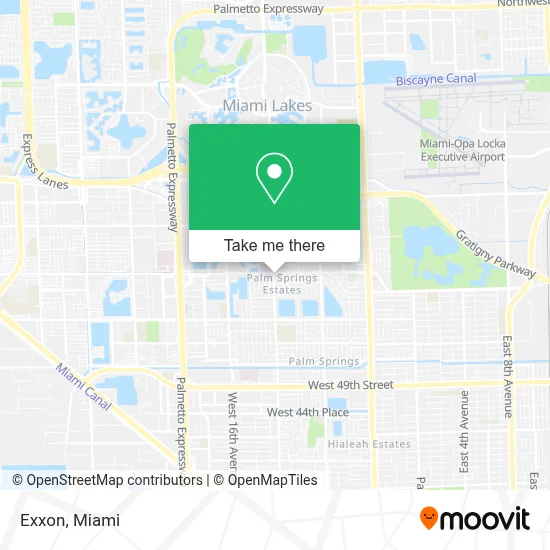
See Exxon, Hialeah, on the map
Public Transit to Exxon in Hialeah
Wondering how to get to Exxon in Hialeah? Moovit helps you find the best way to get to Exxon with step-by-step directions from the nearest public transit station.
Moovit provides free maps and live directions to help you navigate through your city. View schedules, routes, timetables, and find out how long does it take to get to Exxon in real time.
Looking for the nearest stop or station to Exxon? Check out this list of stops closest to your destination: W 12 Av & W 66 St; W 16 Av @ W 62 St.
Bus: 183, HIAMAR, 54.
Want to see if there’s another route that gets you there at an earlier time? Moovit helps you find alternative routes or times. Get directions from and directions to Exxon easily from the Moovit App or Website.
We make riding to Exxon easy, which is why over 1.5 million users, including users in Hialeah, trust Moovit as the best app for public transit. You don’t need to download an individual bus app or train app, Moovit is your all-in-one transit app that helps you find the best bus time or train time available.
For information on prices of bus and train, costs and ride fares to Exxon, please check the Moovit app.
Use the app to navigate to popular places including to the airport, hospital, stadium, grocery store, mall, coffee shop, school, college, and university.
Exxon Address: 1190 W 68th St Hialeah, FL 33012 street in Hialeah
- Walmart 57 Ave.,
- El Mundo De Las Telas,
- M.A. Milam K-8 Center,
- Hialeah-Miami Lakes Senior High School,
- Palm Springs Middle School,
- W 16th Ave / W 77th St,
- W 68th Street Hialeah Florida,
- St. Benedict's Catholic Church,
- Club CAMA Ft. D.J. Sabana & Lil Pillow,
- Exito Supermarket,
- 20,
- Fresco Y Mas,
- Dream Girl Spa,
- Ariel Joyeria,
- Coinstar - Bitcoin ATM,
- T-Mobile,
- NW 122nd St / W 4th Ave,
- Farmacia Cali 2,
- Delgado Mdpa Carlos MD Pa,
- Palmetto
Places Near Exxon (Hialeah)
- Miami-Dade County Courthouse, Miami,
- Port of Miami Cruise Terminal, Miami,
- Richard E. Gerstein Justice Building, Miami,
- Hard Rock Stadium, Miami Gardens,
- Dolphin Mall Bus, Miami,
- Dolphin Mall, Miami,
- Aventura Mall, Miami Beach,
- Miami Freedom Park, Miami,
- Sawgrass Mall, Miami,
- Aventura Mall, Miami,
- Little Havana, Miami,
- Miami Design District, Miami,
- Miami VA Hospital, Miami,
- Brickell City Centre, Miami,
- Zoo Miami, Miami,
- Sawgrass mall ( FL ), Miami Beach,
- Keiser University Flagship Campus, West Palm Beach,
- Wynwood, Miami,
- Bayside Marketplace, Miami,
- Marlins Park, Miami
How to get to popular places in Miami with public transit
Get around Hialeah by public transit!
Traveling around Hialeah has never been so easy. See step by step directions as you travel to any attraction, street or major public transit station. View bus and train schedules, arrival times, service alerts and detailed routes on a map, so you know exactly how to get to anywhere in Hialeah.
When traveling to any destination around Hialeah use Moovit's Live Directions with Get Off Notifications to know exactly where and how far to walk, how long to wait for your line, and how many stops are left. Moovit will alert you when it's time to get off — no need to constantly re-check whether yours is the next stop.
Wondering how to use public transit in Hialeah or how to pay for public transit in Hialeah? Moovit public transit app can help you navigate your way with public transit easily, and at minimum cost. It includes public transit fees, ticket prices, and costs. Looking for a map of Hialeah public transit lines? Moovit public transit app shows all public transit maps in Hialeah with all Bus, Train, Light Rail and Ferry routes and stops on an interactive map.
Miami has 4 transit type(s), including: Bus, Train, Light Rail and Ferry, operated by several transit agencies, including Broward County Transit, Miami-Dade Transit, Metrorail, Palm Tran, Tri-Rail, Brightline, MARTY, City of Homestead Trolley, Key West Transit, Treasure Coast Connector, GoLine IRT, Amtrak, Greyhound-us, FlixBus-us and Aventura Express Shuttle Bus