How to get to Exxon by bus?
Click on the bus route to see step by step directions with maps, line arrival times and updated time schedules.
From Donald Ross Rd / Military Trl, Jupiter
73 minFrom Brightline, West Palm Beach
40 minFrom Hilton West Palm Beach, West Palm Beach
48 minFrom A W Dreyfoos School of the Arts, West Palm Beach
46 minFrom Keiser University-West Palm Beach, Royal Palm Beach-West Jupiter
65 minFrom Kravis Center, West Palm Beach
49 minFrom William T. Dwyer High School, Jupiter
87 minFrom Walmart West Palm Beach Supercenter, West Palm Beach
49 minFrom West Palm Beach Palm Beach Airport PBI, West Palm Beach
67 minFrom Cityplace, West Palm Beach
43 min
How to get to Exxon by train?
Click on the train route to see step by step directions with maps, line arrival times and updated time schedules.
Bus stop near Exxon in Riviera Beach
- BLUE HERON BLVD at B. OBAMA HWY, 2 min walk,VIEW
Train station near Exxon in Riviera Beach
- Mangonia Park Station, 26 min walk,VIEW
What are the closest stations to Exxon?
The closest stations to Exxon are:
- BLUE HERON BLVD at B. OBAMA HWY is 145 yards away, 2 min walk.
- Mangonia Park Station is 2196 yards away, 26 min walk.
Which bus lines stop near Exxon?
These bus lines stop near Exxon: 30, 33.
Which train line stops near Exxon?
TRIRAIL (Northbound To Mangonia Park)
What’s the nearest train station to Exxon in Riviera Beach?
The nearest train station to Exxon in Riviera Beach is Mangonia Park Station. It’s a 26 min walk away.
What’s the nearest bus station to Exxon in Riviera Beach?
The nearest bus station to Exxon in Riviera Beach is BLUE HERON BLVD at B. OBAMA HWY. It’s a 2 min walk away.
What time is the first train to Exxon in Riviera Beach?
The TRIRAIL is the first train that goes to Exxon in Riviera Beach. It stops nearby at 3:50 AM.
What time is the last train to Exxon in Riviera Beach?
The TRIRAIL is the last train that goes to Exxon in Riviera Beach. It stops nearby at 11:45 PM.
What time is the first bus to Exxon in Riviera Beach?
The 30 is the first bus that goes to Exxon in Riviera Beach. It stops nearby at 5:53 AM.
What time is the last bus to Exxon in Riviera Beach?
The 33 is the last bus that goes to Exxon in Riviera Beach. It stops nearby at 9:47 PM.
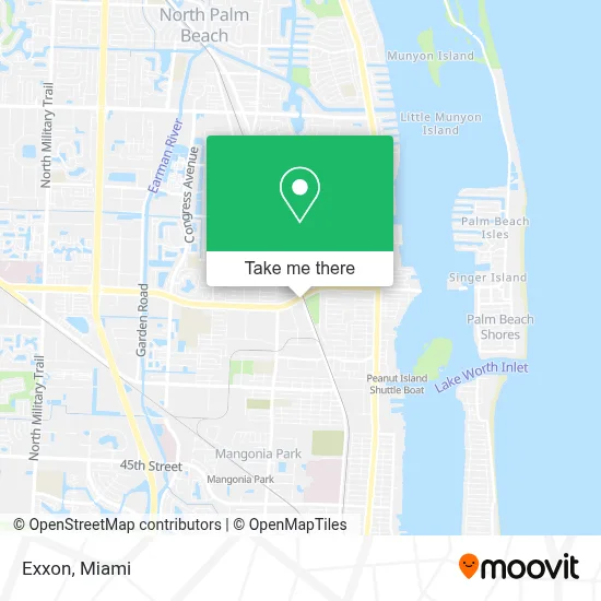
See Exxon, Riviera Beach, on the map
Public Transit to Exxon in Riviera Beach
Wondering how to get to Exxon in Riviera Beach? Moovit helps you find the best way to get to Exxon with step-by-step directions from the nearest public transit station.
Moovit provides free maps and live directions to help you navigate through your city. View schedules, routes, timetables, and find out how long does it take to get to Exxon in real time.
Looking for the nearest stop or station to Exxon? Check out this list of stops closest to your destination: BLUE HERON BLVD at B. OBAMA HWY; Mangonia Park Station.
Bus: 30, 33.Train: TRIRAIL.
Want to see if there’s another route that gets you there at an earlier time? Moovit helps you find alternative routes or times. Get directions from and directions to Exxon easily from the Moovit App or Website.
We make riding to Exxon easy, which is why over 1.5 million users, including users in Riviera Beach, trust Moovit as the best app for public transit. You don’t need to download an individual bus app or train app, Moovit is your all-in-one transit app that helps you find the best bus time or train time available.
For information on prices of bus and train, costs and ride fares to Exxon, please check the Moovit app.
Use the app to navigate to popular places including to the airport, hospital, stadium, grocery store, mall, coffee shop, school, college, and university.
Exxon Address: 1001 Blue Heron Blvd W West Palm Beach, FL 33404 street in Riviera Beach
- T-Mobile,
- SG Physical Therapy,
- Watson B Duncan Middle School,
- President Barack Obama Hwy,
- Direct SAT TV,
- Britt James Britt's Pet Sit,
- Boulevard Subs & More,
- Valley of Love Ministries,
- Rodney's Crabs & More,
- Riviera Beach City of,
- Port of Palm Beach Fl,
- Suncoast Community High School,
- Peanut Island Water Taxi,
- John F Kennedy Middle School,
- Suncoast High School,
- T-Mobile,
- Margaritaville at Sea,
- Lake Park, Florida,
- Children's Outreach, Inc,
- LB Faith Handyman Construction Services
Places Near Exxon (Riviera Beach)
- Marlins Park, Miami,
- Brickell City Centre, Miami,
- Miami Design District, Miami,
- Miami VA Hospital, Miami,
- Keiser University Flagship Campus, West Palm Beach,
- Wynwood, Miami,
- Sawgrass Mall, Miami,
- Dolphin Mall, Miami,
- Richard E. Gerstein Justice Building, Miami,
- Little Havana, Miami,
- Miami Freedom Park, Miami,
- Aventura Mall, Miami,
- Miami-Dade County Courthouse, Miami,
- Bayside Marketplace, Miami,
- Dolphin Mall Bus, Miami,
- Port of Miami Cruise Terminal, Miami,
- Hard Rock Stadium, Miami Gardens,
- Aventura Mall, Miami Beach,
- Sawgrass mall ( FL ), Miami Beach,
- Zoo Miami, Miami
How to get to popular places in Miami with public transit
Get around Riviera Beach by public transit!
Traveling around Riviera Beach has never been so easy. See step by step directions as you travel to any attraction, street or major public transit station. View bus and train schedules, arrival times, service alerts and detailed routes on a map, so you know exactly how to get to anywhere in Riviera Beach.
When traveling to any destination around Riviera Beach use Moovit's Live Directions with Get Off Notifications to know exactly where and how far to walk, how long to wait for your line, and how many stops are left. Moovit will alert you when it's time to get off — no need to constantly re-check whether yours is the next stop.
Wondering how to use public transit in Riviera Beach or how to pay for public transit in Riviera Beach? Moovit public transit app can help you navigate your way with public transit easily, and at minimum cost. It includes public transit fees, ticket prices, and costs. Looking for a map of Riviera Beach public transit lines? Moovit public transit app shows all public transit maps in Riviera Beach with all Bus, Train, Light Rail and Ferry routes and stops on an interactive map.
Miami has 4 transit type(s), including: Bus, Train, Light Rail and Ferry, operated by several transit agencies, including Broward County Transit, Miami-Dade Transit, Metrorail, Palm Tran, Tri-Rail, Brightline, MARTY, City of Homestead Trolley, Key West Transit, Treasure Coast Connector, GoLine IRT, Amtrak, Greyhound-us, FlixBus-us and Aventura Express Shuttle Bus