How to get to Exxon by bus?
Click on the bus route to see step by step directions with maps, line arrival times and updated time schedules.
From Tradition Park, Port St. Lucie
139 minFrom Stuart, Florida, Stuart
79 minFrom US-1 / SE Port St Lucie Blvd, Port St. Lucie
39 minFrom Hca Florida Lawnwood Hospital, Fort Pierce
85 minFrom Indian River State College, Fort Pierce
76 minFrom Clover Park, Port St. Lucie
84 minFrom US-1, Fort Pierce
17 minFrom CVS Pharmacy - (Lyngate Dr), Port St. Lucie
29 min
Bus stop near Exxon in Miami
- Prima Vista Blvd & US Hwy 1, 2 min walk,VIEW
What are the closest stations to Exxon?
The closest stations to Exxon are:
- Prima Vista Blvd & US Hwy 1 is 124 yards away, 2 min walk.
Which bus lines stop near Exxon?
These bus lines stop near Exxon: 1, 6.
What’s the nearest bus station to Exxon in Miami?
The nearest bus station to Exxon in Miami is Prima Vista Blvd & US Hwy 1. It’s a 2 min walk away.
What time is the first bus to Exxon in Miami?
The 1 is the first bus that goes to Exxon in Miami. It stops nearby at 6:22 AM.
What time is the last bus to Exxon in Miami?
The 1 is the last bus that goes to Exxon in Miami. It stops nearby at 7:33 PM.
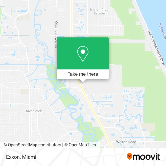
See Exxon, Miami, on the map
Public Transit to Exxon in Miami
Wondering how to get to Exxon in Miami? Moovit helps you find the best way to get to Exxon with step-by-step directions from the nearest public transit station.
Moovit provides free maps and live directions to help you navigate through your city. View schedules, routes, timetables, and find out how long does it take to get to Exxon in real time.
Looking for the nearest stop or station to Exxon? Check out this list of stops closest to your destination: Prima Vista Blvd & US Hwy 1.
Bus: 1, 6.
Want to see if there’s another route that gets you there at an earlier time? Moovit helps you find alternative routes or times. Get directions from and directions to Exxon easily from the Moovit App or Website.
We make riding to Exxon easy, which is why over 1.5 million users, including users in Miami, trust Moovit as the best app for public transit. You don’t need to download an individual bus app or train app, Moovit is your all-in-one transit app that helps you find the best bus time or train time available.
For information on prices of bus, costs and ride fares to Exxon, please check the Moovit app.
Use the app to navigate to popular places including to the airport, hospital, stadium, grocery store, mall, coffee shop, school, college, and university.
Exxon Address: 7590 S US-1 Port St Lucie, FL 34952 street in Miami
- DKNV Enterprises,
- Metro One - PSL,
- T-Mobile,
- Navy Federal Credit Union,
- Supercuts,
- La Natural Ice Cream,
- Well,
- Brazilian Waxing by Sisters - Port Saint Lucie,
- Aqua Irrigation,
- Heaven Inspired Homes,
- Shred Nations,
- Taskable Pros,
- Payday Loans Port St. Lucie Fl,
- German American Bank Itm,
- Fuze,
- Cornerstone Christian Church,
- Discovery Church,
- RJ Pe,
- Thompson June,
- Red PV
Places Near Exxon (Miami)
- Sawgrass mall ( FL ), Miami Beach,
- Miami Freedom Park, Miami,
- Aventura Mall, Miami Beach,
- Brickell City Centre, Miami,
- Richard E. Gerstein Justice Building, Miami,
- Wynwood, Miami,
- Miami VA Hospital, Miami,
- Zoo Miami, Miami,
- Dolphin Mall, Miami,
- Keiser University Flagship Campus, West Palm Beach,
- Aventura Mall, Miami,
- Little Havana, Miami,
- Marlins Park, Miami,
- Hard Rock Stadium, Miami Gardens,
- Sawgrass Mall, Miami,
- Dolphin Mall Bus, Miami,
- Port of Miami Cruise Terminal, Miami,
- Miami Design District, Miami,
- Bayside Marketplace, Miami,
- Miami-Dade County Courthouse, Miami
How to get to popular places in Miami with public transit
Get around Miami by public transit!
Traveling around Miami has never been so easy. See step by step directions as you travel to any attraction, street or major public transit station. View bus and train schedules, arrival times, service alerts and detailed routes on a map, so you know exactly how to get to anywhere in Miami.
When traveling to any destination around Miami use Moovit's Live Directions with Get Off Notifications to know exactly where and how far to walk, how long to wait for your line, and how many stops are left. Moovit will alert you when it's time to get off — no need to constantly re-check whether yours is the next stop.
Wondering how to use public transit in Miami or how to pay for public transit in Miami? Moovit public transit app can help you navigate your way with public transit easily, and at minimum cost. It includes public transit fees, ticket prices, and costs. Looking for a map of Miami public transit lines? Moovit public transit app shows all public transit maps in Miami with all Bus, Train, Light Rail and Ferry routes and stops on an interactive map.
Miami has 4 transit type(s), including: Bus, Train, Light Rail and Ferry, operated by several transit agencies, including Broward County Transit, Miami-Dade Transit, Metrorail, Palm Tran, Tri-Rail, Brightline, MARTY, City of Homestead Trolley, Key West Transit, Treasure Coast Connector, GoLine IRT, Amtrak, Greyhound-us, FlixBus-us and Aventura Express Shuttle Bus