How to get to FS Schnaiter by bus?
Click on the bus route to see step by step directions with maps, line arrival times and updated time schedules.
From Epplesee, Rheinstetten
110 minFrom Arcus Klinik, Pforzheim
99 minFrom Karlsruher Straße, Pforzheim
81 minFrom 75217, Birkenfeld
116 minFrom Schloss Neuenbürg, Verwaltungsgemeinschaft Neuenbürg
96 minFrom POCO Einrichtungsmärkte, Pforzheim
82 minFrom Müller Fleisch, Birkenfeld
99 minFrom Wallberg, Pforzheim
97 minFrom Arcus Kliniken Pforzheim, Pforzheim
100 min
How to get to FS Schnaiter by train?
Click on the train route to see step by step directions with maps, line arrival times and updated time schedules.
From Epplesee, Rheinstetten
65 minFrom Arcus Klinik, Pforzheim
114 minFrom Karlsruher Straße, Pforzheim
117 minFrom Schloss Neuenbürg, Verwaltungsgemeinschaft Neuenbürg
117 minFrom POCO Einrichtungsmärkte, Pforzheim
118 minFrom Müller Fleisch, Birkenfeld
102 minFrom Wallberg, Pforzheim
112 minFrom Arcus Kliniken Pforzheim, Pforzheim
114 min
Bus stops near FS Schnaiter in Waldbronn
Train stations near FS Schnaiter in Waldbronn
Light Rail stations near FS Schnaiter in Waldbronn
- Reichenbach Kurpark, 14 min walk,VIEW
Bus lines to FS Schnaiter in Waldbronn
What are the closest stations to FS Schnaiter?
The closest stations to FS Schnaiter are:
- Etzenrot Feuerwehrhaus is 109 meters away, 2 min walk.
- Etzenrot is 808 meters away, 11 min walk.
- Reichenbach Kurpark is 1019 meters away, 14 min walk.
Which train lines stop near FS Schnaiter?
These train lines stop near FS Schnaiter: S1, S11.
Which bus lines stop near FS Schnaiter?
These bus lines stop near FS Schnaiter: 101, 155, 158.
What’s the nearest light rail station to FS Schnaiter in Waldbronn?
The nearest light rail station to FS Schnaiter in Waldbronn is Reichenbach Kurpark. It’s a 14 min walk away.
What’s the nearest train station to FS Schnaiter in Waldbronn?
The nearest train station to FS Schnaiter in Waldbronn is Etzenrot. It’s a 11 min walk away.
What’s the nearest bus station to FS Schnaiter in Waldbronn?
The nearest bus station to FS Schnaiter in Waldbronn is Etzenrot Feuerwehrhaus. It’s a 2 min walk away.
What time is the first light rail to FS Schnaiter in Waldbronn?
The S11 is the first light rail that goes to FS Schnaiter in Waldbronn. It stops nearby at 5:08 AM.
What time is the last light rail to FS Schnaiter in Waldbronn?
The S1 is the last light rail that goes to FS Schnaiter in Waldbronn. It stops nearby at 12:38 AM.
What time is the first train to FS Schnaiter in Waldbronn?
The S11 is the first train that goes to FS Schnaiter in Waldbronn. It stops nearby at 4:58 AM.
What time is the last train to FS Schnaiter in Waldbronn?
The S11 is the last train that goes to FS Schnaiter in Waldbronn. It stops nearby at 12:58 AM.
What time is the first bus to FS Schnaiter in Waldbronn?
The 155 is the first bus that goes to FS Schnaiter in Waldbronn. It stops nearby at 5:58 AM.
What time is the last bus to FS Schnaiter in Waldbronn?
The 155 is the last bus that goes to FS Schnaiter in Waldbronn. It stops nearby at 12:02 AM.
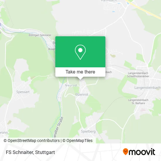
See FS Schnaiter, Waldbronn, on the map
Public Transit to FS Schnaiter in Waldbronn
Wondering how to get to FS Schnaiter in Waldbronn? Moovit helps you find the best way to get to FS Schnaiter with step-by-step directions from the nearest public transit station.
Moovit provides free maps and live directions to help you navigate through your city. View schedules, routes, timetables, and find out how long does it take to get to FS Schnaiter in real time.
Looking for the nearest stop or station to FS Schnaiter? Check out this list of stops closest to your destination: Etzenrot Feuerwehrhaus; Etzenrot; Reichenbach Kurpark.
Train: S1, S11, FEX, S12, S12.Bus: 101, 155, 158, FEX, S1.
Want to see if there’s another route that gets you there at an earlier time? Moovit helps you find alternative routes or times. Get directions from and directions to FS Schnaiter easily from the Moovit App or Website.
We make riding to FS Schnaiter easy, which is why over 1.5 million users, including users in Waldbronn, trust Moovit as the best app for public transit. You don’t need to download an individual bus app or train app, Moovit is your all-in-one transit app that helps you find the best bus time or train time available.
For information on prices of train, bus and light rail, costs and ride fares to FS Schnaiter, please check the Moovit app.
Use the app to navigate to popular places including to the airport, hospital, stadium, grocery store, mall, coffee shop, school, college, and university.
FS Schnaiter Address: Neufeldstraße 12 Etzenrot, 76337 Waldbronn street in Waldbronn
- Marco Polo Anlagenbau,
- Verein zur Förderung,
- Aussegnungshalle,
- Friedhof Etzenrot,
- Reppel + Partner GmbH Tourismusberatung,
- Noma Feuerschutz,
- Tischtennis,
- Waldschule Etzenrot,
- Uwe und Christine Hantschk,
- Toscana,
- Anderer Bernd,
- Ristorante Pizzeria Toscana,
- Gesellschaftshaus Etzenrot,
- Bildstöckle,
- Michael Csernalabics,
- Sal,
- Musikverein Etzenrot,
- Mutter Der Glaubenden,
- Etzenrot Bildstock,
- B.A.S. Automotive
Places Near FS Schnaiter (Waldbronn)
- Hanns-Martin-Schleyer-Halle (Stuttgart Hans-Martin-Schleyerhalle), Bad Cannstatt,
- Gleis 101/102 (tief), Stuttgart-Mitte,
- Waldfriedhof, Degerloch,
- Mercedes-Benz Museum (Mercedes Museum Stuttgart), Bad Cannstatt,
- Porsche Museum, Zuffenhausen,
- FlixBus Haltestelle, Stuttgart,
- Marmorsaal Im Weissenburgpark, Stuttgart-Süd,
- Wilhelma (U-Bahn Wilhelma), Bad Cannstatt,
- Mettingen Eros-Center Puff Laufhaus, Esslingen Am Neckar,
- Gasometer Pforzheim, Pforzheim,
- Geilhaus Haus 33a, Reutlingen-Betzingen,
- Porsche-Arena, Bad Cannstatt,
- Hanns-Martin-Schleyer-Halle, Bad Cannstatt,
- Im Wizemann (Halle), Bad Cannstatt,
- Klinikum Stuttgart - Katharinenhospital, Stuttgart-Mitte,
- SI-Centrum, Möhringen,
- Hauptbahnhof Stuttgart, Stuttgart-Mitte,
- Schleyerhalle, Bad Cannstatt,
- Mercedes-Benz Museum, Bad Cannstatt,
- Pariser Platz Stuttgart, Stuttgart-Mitte
How to get to popular places in Stuttgart with public transit
Get around Waldbronn by public transit!
Traveling around Waldbronn has never been so easy. See step by step directions as you travel to any attraction, street or major public transit station. View bus and train schedules, arrival times, service alerts and detailed routes on a map, so you know exactly how to get to anywhere in Waldbronn.
When traveling to any destination around Waldbronn use Moovit's Live Directions with Get Off Notifications to know exactly where and how far to walk, how long to wait for your line, and how many stops are left. Moovit will alert you when it's time to get off — no need to constantly re-check whether yours is the next stop.
Wondering how to use public transit in Waldbronn or how to pay for public transit in Waldbronn? Moovit public transit app can help you navigate your way with public transit easily, and at minimum cost. It includes public transit fees, ticket prices, and costs. Looking for a map of Waldbronn public transit lines? Moovit public transit app shows all public transit maps in Waldbronn with all Bus, Train, Subway, Light Rail, Ferry, S-Bahn and Funicular routes and stops on an interactive map.
Stuttgart has 7 transit type(s), including: Bus, Train, Subway, Light Rail, Ferry, S-Bahn and Funicular, operated by several transit agencies, including SSB - Stadtbahn, SSB, SSB - Seilbahn / Zacke, S-Bahn Stuttgart, Rhein-Neckar-Verkehr GmbH (rnv), Karlsruher Verkehrsverbund, DB AG, DB Regiobus BW, Arverio Baden-Württemberg GmbH, DB RegioNetz Verkehrs GmbH Westfrankenbahn, DB Regio AG Baden-Württemberg, Südwestdeutsche Verkehrs-AG, DB Regio AG Mitte Region Hessen, DB and Bodensee-Oberschwaben-Bahn