Fairfax Blvd at Spring St stop - Sunday schedule
| Line | Direction | Time |
|---|---|---|
| F60 | West To Fair Oaks Mall | 7:46 AM |
| F60 | West To Fair Oaks Mall | 8:26 AM |
| F60 | West To Fair Oaks Mall | 9:07 AM |
| F60 | West To Fair Oaks Mall | 9:48 AM |
| GREEN 2 | Nutley Street And Lee Highway | 9:50 AM |
| F60 | West To Fair Oaks Mall | 10:30 AM |
| GREEN 2 | Nutley Street And Lee Highway | 10:55 AM |
| F60 | West To Fair Oaks Mall | 11:11 AM |
| F60 | West To Fair Oaks Mall | 11:51 AM |
| GREEN 2 | Nutley Street And Lee Highway | 12:00 PM |
| F60 | West To Fair Oaks Mall | 12:33 PM |
| F60 | West To Fair Oaks Mall | 1:13 PM |
| GREEN 2 | Nutley Street And Lee Highway | 1:30 PM |
| F60 | West To Fair Oaks Mall | 1:53 PM |
| F60 | West To Fair Oaks Mall | 2:33 PM |
| GREEN 2 | Nutley Street And Lee Highway | 2:35 PM |
| F60 | West To Fair Oaks Mall | 3:13 PM |
| GREEN 2 | Nutley Street And Lee Highway | 3:40 PM |
| F60 | West To Fair Oaks Mall | 3:54 PM |
| F60 | West To Fair Oaks Mall | 4:34 PM |
| GREEN 2 | Nutley Street And Lee Highway | 4:45 PM |
| F60 | West To Fair Oaks Mall | 5:15 PM |
| F60 | West To Fair Oaks Mall | 5:53 PM |
| F60 | West To Fair Oaks Mall | 6:32 PM |
| F60 | West To Fair Oaks Mall | 7:10 PM |
Directions to Fairfax Blvd at Spring St stop with public transit
The following transit lines have routes that pass near Fairfax Blvd at Spring St
 Bus: F60, GOLD 2, GREEN 2, GREEN 1, GOLD 1.
- Metro: ORANGE.
How to get to Fairfax Blvd at Spring St stop by bus?
Click on the bus route to see step by step directions with maps, line arrival times and updated time schedules.
How to get to Fairfax Blvd at Spring St stop by metro?
Click on the metro route to see step by step directions with maps, line arrival times and updated time schedules.
Bus stops near Fairfax Blvd at Spring St stop
- Fairfax Blvd at Spring St, 1 min walk,
- Fairfax Bl+Spring St, 2 min walk,
- Fairfax Blvd at Draper Drive, 2 min walk,
- Draper Drive at Fairfax Blvd, 3 min walk,
- Draper Drive at Fairfax Blvd (Sb), 3 min walk,
- Blenheim Bl+Ridge Av, 7 min walk,
Metro stations near Fairfax Blvd at Spring St station
- Vienna Metro Station, 61 min walk,
Bus lines to Fairfax Blvd at Spring St stop
- GREEN 1, Vienna Metro North Bay C,
- F60, West To Monument Dr,
- GREEN 2, Nutley Street And Lee Highway,
- GOLD 1, Country Creek at Village Spring Lane (Eb),
- GOLD 2, Vienna Metro North Bay E,
- F50, West To George Mason,
What are the closest stations to Fairfax Blvd at Spring St?
The closest stations to Fairfax Blvd at Spring St are:
- Fairfax Blvd at Spring St stop is 70 yards away, 1 min walk.
- Fairfax Bl+Spring St stop is 112 yards away, 2 min walk.
- Fairfax Blvd at Draper Drive stop is 159 yards away, 2 min walk.
- Draper Drive at Fairfax Blvd stop is 224 yards away, 3 min walk.
- Draper Drive at Fairfax Blvd (Sb) stop is 231 yards away, 3 min walk.
- Blenheim Bl+Ridge Av stop is 556 yards away, 7 min walk.
- Vienna Metro Station is 5262 yards away, 61 min walk.
Which bus lines stop near Fairfax Blvd at Spring St?
These bus lines stop near Fairfax Blvd at Spring St: F60, GOLD 2, GREEN 2.
Which metro line stops near Fairfax Blvd at Spring St?
ORANGE (Vienna)
What’s the nearest bus station to Fairfax Blvd at Spring St?
The nearest bus station to Fairfax Blvd at Spring St is Fairfax Blvd at Spring St. It’s a 1 min walk away.
What time is the first metro to Fairfax Blvd at Spring St?
The ORANGE is the first metro that goes to Fairfax Blvd at Spring St. It stops nearby at 5:00 AM.
What time is the last metro to Fairfax Blvd at Spring St?
The ORANGE is the last metro that goes to Fairfax Blvd at Spring St. It stops nearby at 12:39 AM.
What time is the first bus to Fairfax Blvd at Spring St?
The F50 is the first bus that goes to Fairfax Blvd at Spring St. It stops nearby at 5:17 AM.
What time is the last bus to Fairfax Blvd at Spring St?
The GOLD 1 is the last bus that goes to Fairfax Blvd at Spring St. It stops nearby at 11:04 PM.
Fairfax Blvd at Spring St station
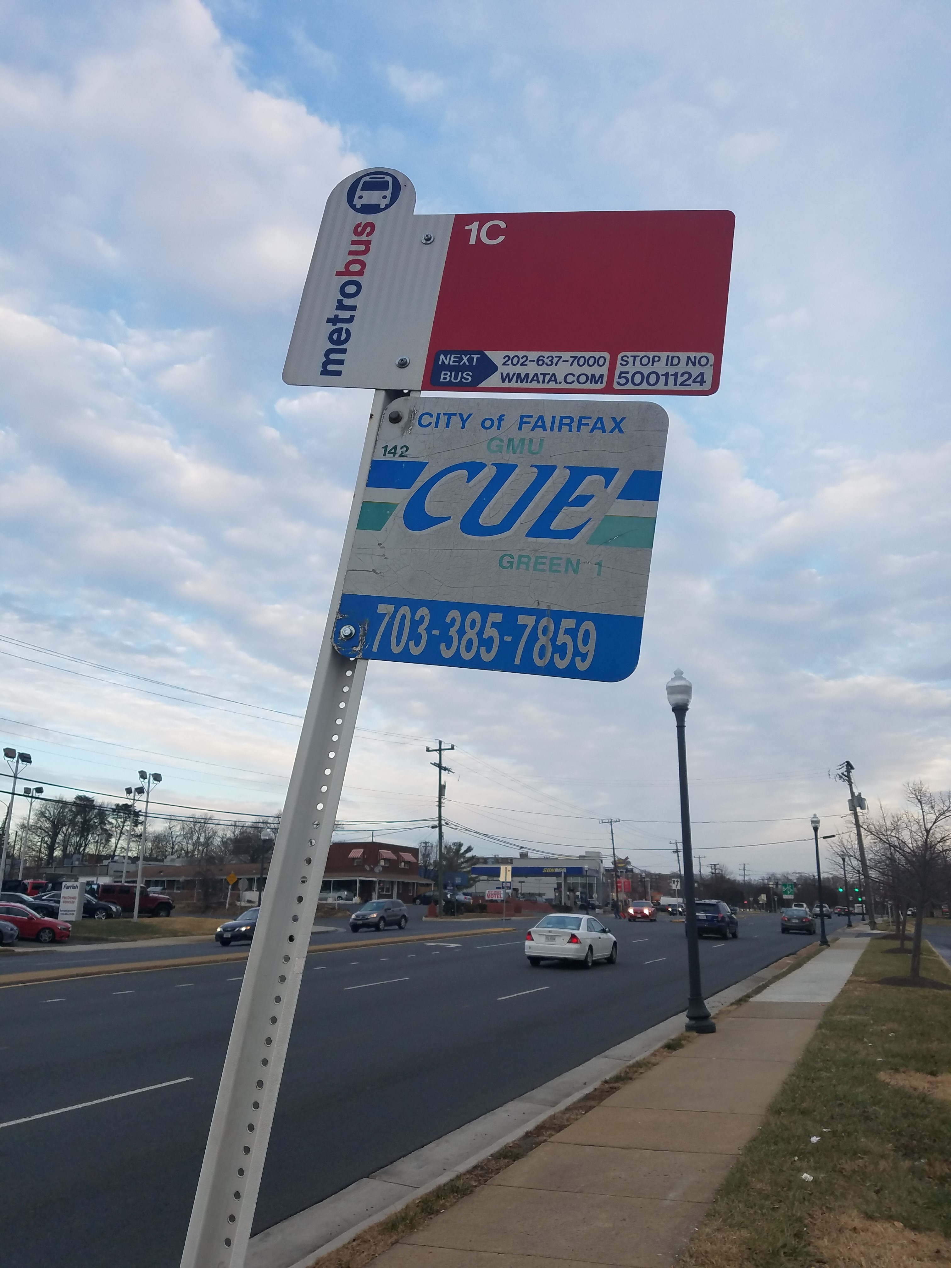 Taken by Anonymous
See Fairfax Blvd at Spring St stop on the map
Public transit to Fairfax Blvd at Spring St stop
Looking for directions to Fairfax Blvd at Spring St in Fairfax, United States?
Download the Moovit App to find the current schedule and step-by-step directions for Bus or Metro routes that pass through Fairfax Blvd at Spring St.
Looking for the nearest stops closest to Fairfax Blvd at Spring St ? Check out this list of closest stops to your destination: Fairfax Blvd at Spring St; Fairfax Bl+Spring St; Fairfax Blvd at Draper Drive; Draper Drive at Fairfax Blvd; Draper Drive at Fairfax Blvd (Sb); Blenheim Bl+Ridge Av; Vienna Metro Station.
Bus: F60, GOLD 2, GREEN 2, GREEN 1, GOLD 1.Metro: ORANGE.
We make riding on public transit to Fairfax Blvd at Spring St easy, which is why over 1.7 billion users, including users in Fairfax trust Moovit as the best app for public transit.
Use the app to navigate to popular places including to the airport, hospital, stadium, grocery store, mall, coffee shop, school, college, and university.
The first line to this stop is F60, at 7:46 AM, and the last line is F60 at 9:48 PM.
9700 Fairfax Blvd, Fairfax, VA, USA
This stop serves CUE Bus - City of Fairfax and WMATA’s lines
- Fairfax Blvd at Spring St,
- Fairfax Bl+Spring St,
- Fairfax Blvd at Draper Drive,
- Draper Drive at Fairfax Blvd,
- Draper Drive at Fairfax Blvd (Sb),
- Blenheim Bl+Ridge Av
Bus stops near Fairfax Blvd at Spring St stop
- Vienna Metro Station
Metro station near Fairfax Blvd at Spring St station
- Tuckerman Ln & Kings Riding Way,
- Rhode Island Av Ne+#617,
- N Capitol St & H St NW Sb,
- Frederick Shopping Center South (Giant Eagle),
- Hayes St Ne+3576 Unity Ct NE,
- Doctors Community Hospital at Bus Shelter,
- Pennsylvania Ave & 7th St Nw,
- 14th St @ Constitution Ave NW,
- Duke St And N Ripley St,
- Georgia Av Nw+Van Buren St NW,
- Kettering Dr+Largo Rd,
- Blenheim Blvd at Scout (Nb),
- East West Hwy & @1325,
- Route 4 Nb And Calvert Beach Rd.,
- Fayette St Plaza,
- 18 St Ne+Adams St NE,
- Lanham Severn Rd+Main St,
- Pratt St & Howard St,
- Georgia Av+Spring St,
- White Horse Apartments (Pulaski Hwy/Us 40)
Popular public transit stations in Fairfax
Get around Fairfax by public transit!
Traveling around Fairfax has never been so easy. See step by step directions as you travel to any attraction, street or major public transit station. View bus and train schedules, arrival times, service alerts and detailed routes on a map, so you know exactly how to get to anywhere in Fairfax.
When traveling to any destination around Fairfax use Moovit's Live Directions with Get Off Notifications to know exactly where and how far to walk, how long to wait for your line, and how many stops are left. Moovit will alert you when it's time to get off — no need to constantly re-check whether yours is the next stop.
Wondering how to use public transit in Fairfax or how to pay for public transit in Fairfax? Moovit public transit app can help you navigate your way with public transit easily, and at minimum cost. It includes public transit fees, ticket prices, and costs. Looking for a map of Fairfax public transit lines? Moovit public transit app shows all public transit maps in Fairfax with all Bus, Train, Metro, Light Rail and Ferry routes and stops on an interactive map.
Washington, D.C. - Baltimore, MD has 5 transit type(s), including: Bus, Train, Metro, Light Rail and Ferry, operated by several transit agencies, including WMATA, Montgomery County Ride On, Fairfax Connector, Prince Georges County's TheBus, PRTC, DASH - Alexandria, Arlington Transit (ART), RTA of Central Maryland, MDOT MTA, MDOT MTA Light RailLink, MDOT MTA Commuter Bus, MDOT MTA Local Bus, FXBGO!, Virginia Railway Express (VRE) and MARC