How to get to Family Unity by bus?
Click on the bus route to see step by step directions with maps, line arrival times and updated time schedules.
From Margate, FL, Coral Springs-Margate
72 minFrom Sawgrass Recreation Park, Fort Lauderdale
89 minFrom Wilton Manors, Fort Lauderdale
52 minFrom Broward Blvd Tri-Rail Station, Fort Lauderdale
59 minFrom Hotel Soap, Fort Lauderdale
57 minFrom Tamarac, Coral Springs-Margate
39 minFrom South Plantation High School, Plantation
55 minFrom Universal Injury Group, Fort Lauderdale
74 minFrom Quebec-Florida Chamber of Commerce, Fort Lauderdale
73 minFrom Broward College-Central, Davie
56 min
Bus stops near Family Unity in Plantation
What are the closest stations to Family Unity?
The closest stations to Family Unity are:
- Oakland Park Boulevard/Inverrary Boulevard West (East) is 59 yards away, 2 min walk.
- Sunrise Lakes Drive North/Lake Drive East is 775 yards away, 10 min walk.
Which bus line stops near Family Unity?
72 (Sawgrass Mills)
What’s the nearest bus station to Family Unity in Plantation?
The nearest bus station to Family Unity in Plantation is Oakland Park Boulevard/Inverrary Boulevard West (East). It’s a 2 min walk away.
What time is the first bus to Family Unity in Plantation?
The 72 is the first bus that goes to Family Unity in Plantation. It stops nearby at 4:46 AM.
What time is the last bus to Family Unity in Plantation?
The 72 is the last bus that goes to Family Unity in Plantation. It stops nearby at 12:59 AM.
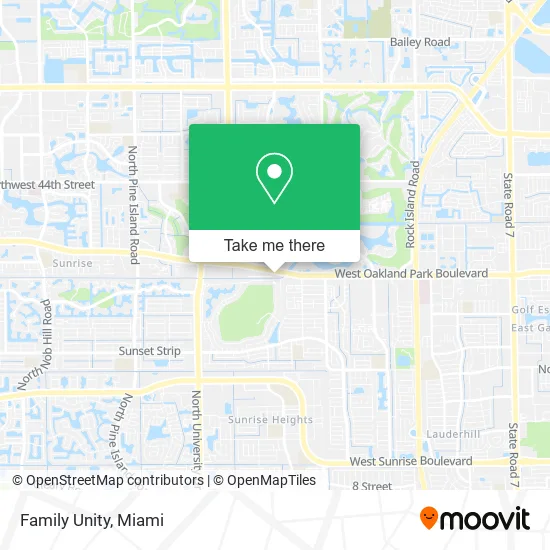
See Family Unity, Plantation, on the map
Public Transit to Family Unity in Plantation
Wondering how to get to Family Unity in Plantation? Moovit helps you find the best way to get to Family Unity with step-by-step directions from the nearest public transit station.
Moovit provides free maps and live directions to help you navigate through your city. View schedules, routes, timetables, and find out how long does it take to get to Family Unity in real time.
Looking for the nearest stop or station to Family Unity? Check out this list of stops closest to your destination: Oakland Park Boulevard/Inverrary Boulevard West (East); Sunrise Lakes Drive North/Lake Drive East.
Bus: 72, 56.
Want to see if there’s another route that gets you there at an earlier time? Moovit helps you find alternative routes or times. Get directions from and directions to Family Unity easily from the Moovit App or Website.
We make riding to Family Unity easy, which is why over 1.5 million users, including users in Plantation, trust Moovit as the best app for public transit. You don’t need to download an individual bus app or train app, Moovit is your all-in-one transit app that helps you find the best bus time or train time available.
For information on prices of bus, costs and ride fares to Family Unity, please check the Moovit app.
Use the app to navigate to popular places including to the airport, hospital, stadium, grocery store, mall, coffee shop, school, college, and university.
Family Unity Address: 7264 W Oakland Park Blvd Fort Lauderdale, FL 33313 street in Plantation
- McCabe Massage & Motivation,
- Dollar Dolar Store,
- 9muses Art Center,
- Shaw Academy of Martial Arts,
- Atlantic Gold Sea Moss,
- Xpress Urgent Care,
- Division of Driver's Licenses (Florida Department of Drivers License),
- Nova Financial,
- DUNKIN',
- Unity Barbershop,
- Towncare Dental,
- NU'Bella Body Aesthetics,
- Oakland Park Boulevard & Inverrary Boulevard West,
- Tap Out Smoke Shop,
- New Life Haitian Baptist Church,
- A Locksmith Fort Lauderdale,
- Believers Faith Outreach Ministries South Florida,
- Shans Nails,
- La Mirage Clubhouse,
- First Triumphant Church of Jesus Christ Apostolic
Places Near Family Unity (Plantation)
- Dolphin Mall, Miami,
- Keiser University Flagship Campus, West Palm Beach,
- Miami VA Hospital, Miami,
- Sawgrass mall ( FL ), Miami Beach,
- Dolphin Mall Bus, Miami,
- Aventura Mall, Miami Beach,
- Miami Design District, Miami,
- Wynwood, Miami,
- Marlins Park, Miami,
- Richard E. Gerstein Justice Building, Miami,
- Bayside Marketplace, Miami,
- Aventura Mall, Miami,
- Sawgrass Mall, Miami,
- Miami-Dade County Courthouse, Miami,
- Little Havana, Miami,
- Port of Miami Cruise Terminal, Miami,
- Hard Rock Stadium, Miami Gardens,
- Brickell City Centre, Miami,
- Miami Freedom Park, Miami,
- Zoo Miami, Miami
How to get to popular places in Miami with public transit
Get around Plantation by public transit!
Traveling around Plantation has never been so easy. See step by step directions as you travel to any attraction, street or major public transit station. View bus and train schedules, arrival times, service alerts and detailed routes on a map, so you know exactly how to get to anywhere in Plantation.
When traveling to any destination around Plantation use Moovit's Live Directions with Get Off Notifications to know exactly where and how far to walk, how long to wait for your line, and how many stops are left. Moovit will alert you when it's time to get off — no need to constantly re-check whether yours is the next stop.
Wondering how to use public transit in Plantation or how to pay for public transit in Plantation? Moovit public transit app can help you navigate your way with public transit easily, and at minimum cost. It includes public transit fees, ticket prices, and costs. Looking for a map of Plantation public transit lines? Moovit public transit app shows all public transit maps in Plantation with all Bus, Train, Light Rail and Ferry routes and stops on an interactive map.
Miami has 4 transit type(s), including: Bus, Train, Light Rail and Ferry, operated by several transit agencies, including Broward County Transit, Miami-Dade Transit, Metrorail, Palm Tran, Tri-Rail, Brightline, MARTY, City of Homestead Trolley, Key West Transit, Treasure Coast Connector, GoLine IRT, Amtrak, Greyhound-us, FlixBus-us and Aventura Express Shuttle Bus