How to get to Farmers Insurance by bus?
Click on the bus route to see step by step directions with maps, line arrival times and updated time schedules.
Bus stops near Farmers Insurance in Albemarle County
What are the closest stations to Farmers Insurance?
The closest stations to Farmers Insurance are:
- Commonwealth Dr at Commonwealth Ct Westbound is 136 yards away, 2 min walk.
- Costco is 1437 yards away, 18 min walk.
Which bus lines stop near Farmers Insurance?
These bus lines stop near Farmers Insurance: 11, 5, 8.
What’s the nearest bus station to Farmers Insurance in Albemarle County?
The nearest bus station to Farmers Insurance in Albemarle County is Commonwealth Dr at Commonwealth Ct Westbound. It’s a 2 min walk away.
What time is the first bus to Farmers Insurance in Albemarle County?
The 5 is the first bus that goes to Farmers Insurance in Albemarle County. It stops nearby at 6:40 AM.
What time is the last bus to Farmers Insurance in Albemarle County?
The 5 is the last bus that goes to Farmers Insurance in Albemarle County. It stops nearby at 10:18 PM.
See Farmers Insurance, Albemarle County, on the map
Public Transit to Farmers Insurance in Albemarle County
Wondering how to get to Farmers Insurance in Albemarle County? Moovit helps you find the best way to get to Farmers Insurance with step-by-step directions from the nearest public transit station.
Moovit provides free maps and live directions to help you navigate through your city. View schedules, routes, timetables, and find out how long does it take to get to Farmers Insurance in real time.
Looking for the nearest stop or station to Farmers Insurance? Check out this list of stops closest to your destination: Commonwealth Dr at Commonwealth Ct Westbound; Costco.
Bus: 11, 5, 8.
Want to see if there’s another route that gets you there at an earlier time? Moovit helps you find alternative routes or times. Get directions from and directions to Farmers Insurance easily from the Moovit App or Website.
We make riding to Farmers Insurance easy, which is why over 1.5 million users, including users in Albemarle County, trust Moovit as the best app for public transit. You don’t need to download an individual bus app or train app, Moovit is your all-in-one transit app that helps you find the best bus time or train time available.
For information on prices of bus and train, costs and ride fares to Farmers Insurance, please check the Moovit app.
Use the app to navigate to popular places including to the airport, hospital, stadium, grocery store, mall, coffee shop, school, college, and university.
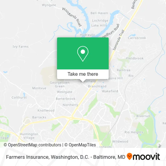
Farmers Insurance Address: 2300 Commonwealth Dr Charlottesville, VA 22901 street in Albemarle County
- Guaranteed Rate,
- Natural Medicine Clinic of Charlottesville,
- Quality Electric,
- Alpha Home Care Services,
- Thriveworks Counseling,
- Hairflair,
- DOT To DOT: Pediatric Speech Language Therapy,
- JBD Mobile Catering & Events,
- Hair 2 Please,
- Shear Magic Salon,
- Hickory Construction,
- Hal Johnson at Guaranteed Rate - NMLS #233808,
- Bowers Christine M,
- 5 Star Fence,
- Farmers Insurance - Dustin Medley,
- A&M Maintenance Crew,
- Stevens & Company,
- Amy McLeskey Real Estate,
- Healing Hypnosis,
- Argus Tax & Financial Services CPA
Places Near Farmers Insurance (Albemarle County)
- Museum Of The Bible, Washington,
- National Museum of African American History and Culture, Washington,
- The Anthem, Washington,
- Basilica of the National Shrine, Washington,
- Marriott Marquis Washington, DC, Washington,
- Rock Creek Tennis Center, Washington,
- Amazon Hq2, Arlington County,
- Washington National Cathedral, Washington,
- Capital One Arena, Washington,
- Westfield Montgomery Mall, Montgomery County,
- PG Mall, Prince George's County,
- National Mall, Washington,
- Pennsylvania Ave NW (3rd st and pennsylvania), Washington,
- Georgetown, Washington,
- Sibley Memorial Hospital, Washington,
- Warner Theatre, Washington,
- Washington DC VA Medical Center, Washington,
- Camden Yards, Baltimore,
- National Zoo, Washington,
- M&T Bank Stadium, Baltimore
How to get to popular places in Washington, D.C. - Baltimore, MD with public transit
Get around Albemarle County by public transit!
Traveling around Albemarle County has never been so easy. See step by step directions as you travel to any attraction, street or major public transit station. View bus and train schedules, arrival times, service alerts and detailed routes on a map, so you know exactly how to get to anywhere in Albemarle County.
When traveling to any destination around Albemarle County use Moovit's Live Directions with Get Off Notifications to know exactly where and how far to walk, how long to wait for your line, and how many stops are left. Moovit will alert you when it's time to get off — no need to constantly re-check whether yours is the next stop.
Wondering how to use public transit in Albemarle County or how to pay for public transit in Albemarle County? Moovit public transit app can help you navigate your way with public transit easily, and at minimum cost. It includes public transit fees, ticket prices, and costs. Looking for a map of Albemarle County public transit lines? Moovit public transit app shows all public transit maps in Albemarle County with all Bus, Train, Metro, Light Rail and Ferry routes and stops on an interactive map.
Washington, D.C. - Baltimore, MD has 5 transit type(s), including: Bus, Train, Metro, Light Rail and Ferry, operated by several transit agencies, including WMATA, Montgomery County Ride On, Fairfax Connector, TheBus, PRTC, DASH - Alexandria, Arlington Transit (ART), RTA of Central Maryland, MDOT MTA, MDOT MTA Light RailLink, MDOT MTA Commuter Bus, MDOT MTA Local Bus, FXBGO!, Virginia Railway Express (VRE) and MARC