Directions to Farmers Insurance (Rockingham County) with public transportation
The following transit lines have routes that pass near Farmers Insurance
 Bus: 6, BRCC NORTH, BLACK, JMU SUMMER SILVER, SILVER.
Bus stops near Farmers Insurance in Rockingham County
Bus lines to Farmers Insurance in Rockingham County
- BLACK, JMU Black Line,VIEW
- JMU SUMMER SILVER, JMU Summer Silver,VIEW
- SILVER, JMU Silver (Saturday),VIEW
- SILVER, JMU Silver (Weekday),VIEW
- 6, Route 6,VIEW
- 6-B, Route 6-B,VIEW
- EXT 6, Extended Route 6,VIEW
- 2, Route 2,VIEW
- 2-B, Route 2-B,VIEW
- EXT 2, Extended Route 2,VIEW
- GREEN, Godwin Transit Center,VIEW
- BLUE, JMU Blue Line,VIEW
- GOLD, JMU Gold (Weekdays),VIEW
- GOLD, JMU Gold (Saturday),VIEW
- JMU SUMMER GOLD, JMU Summer Gold,VIEW
- Valley Home Care,
- Jens Gentle Dentistry,
- Farmers Insurance - Million Daneker,
- Sonrisas Family Dentistry,
- Solis Dental,
- Earman & Associates Travel,
- Riner Rentals,
- Speech & Language Center,
- Port Republic Rd. at Aspen Heights,
- Aspen Heights Club House,
- Aspen Heights,
- Cottages on Port Republic,
- Housden Photography,
- Mount Sinai Cemetery,
- Altitude at Jmu Apartments,
- Altitude at Stone Port,
- Fix Me,
- United Methodist Church,
- Mount Sinai United Methodist Church,
- Vision Of Hope United Methodist Church
Places Near Farmers Insurance (Rockingham County)
- Camden Yards, Baltimore,
- Washington National Cathedral, Washington,
- Basilica of the National Shrine, Washington,
- Museum Of The Bible, Washington,
- National Theatre, Washington,
- M&T Bank Stadium, Baltimore,
- Marriott Marquis Washington, DC, Washington,
- Warner Theatre, Washington,
- PG Mall, Prince George's County,
- National Zoo, Washington,
- Capital One Arena, Washington,
- Westfield Montgomery Mall, Montgomery County,
- National Museum of African American History and Culture, Washington,
- Rock Creek Tennis Center, Washington,
- Amazon Hq2, Arlington County,
- Pennsylvania Ave NW (3rd st and pennsylvania), Washington,
- Georgetown, Washington,
- Washington DC VA Medical Center, Washington,
- Sibley Memorial Hospital, Washington,
- The Anthem, Washington
How to get to popular places in Washington, D.C. - Baltimore, MD with public transit
What are the closest stations to Farmers Insurance?
The closest stations to Farmers Insurance are:
- Port Republic Rd. @ Harrisonburg Community Health Center (Shelter) is 408 yards away, 6 min walk.
- Reservoir St. @ Robinson Park Apartments is 811 yards away, 10 min walk.
- Peach Grove Ave. @ Mcdonald's is 1161 yards away, 14 min walk.
- Talmadge Dr. @ Redpoint (Shelter) is 1342 yards away, 16 min walk.
Which bus lines stop near Farmers Insurance?
These bus lines stop near Farmers Insurance: 6, BRCC NORTH.
What’s the nearest bus station to Farmers Insurance in Rockingham County?
The nearest bus station to Farmers Insurance in Rockingham County is Port Republic Rd. @ Harrisonburg Community Health Center (Shelter). It’s a 6 min walk away.
What time is the first bus to Farmers Insurance in Rockingham County?
The 6 is the first bus that goes to Farmers Insurance in Rockingham County. It stops nearby at 6:46 AM.
What time is the last bus to Farmers Insurance in Rockingham County?
The 6-B is the last bus that goes to Farmers Insurance in Rockingham County. It stops nearby at 10:25 PM.
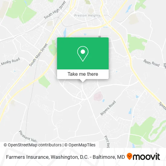
See Farmers Insurance, Rockingham County, on the map
Public Transit to Farmers Insurance in Rockingham County
Wondering how to get to Farmers Insurance in Rockingham County? Moovit helps you find the best way to get to Farmers Insurance with step-by-step directions from the nearest public transit station.
Moovit provides free maps and live directions to help you navigate through your city. View schedules, routes, timetables, and find out how long does it take to get to Farmers Insurance in real time.
Looking for the nearest stop or station to Farmers Insurance? Check out this list of stops closest to your destination: Port Republic Rd. @ Harrisonburg Community Health Center (Shelter); Reservoir St. @ Robinson Park Apartments; Peach Grove Ave. @ Mcdonald's; Talmadge Dr. @ Redpoint (Shelter).
Bus: 6, BRCC NORTH, BLACK, JMU SUMMER SILVER, SILVER, SILVER, 2, 2-B, EXT 2, GREEN, BLUE, GOLD, GOLD, JMU SUMMER GOLD.
Want to see if there’s another route that gets you there at an earlier time? Moovit helps you find alternative routes or times. Get directions from and directions to Farmers Insurance easily from the Moovit App or Website.
We make riding to Farmers Insurance easy, which is why over 1.5 million users, including users in Rockingham County, trust Moovit as the best app for public transit. You don’t need to download an individual bus app or train app, Moovit is your all-in-one transit app that helps you find the best bus time or train time available.
For information on prices of bus and train, costs and ride fares to Farmers Insurance, please check the Moovit app.
Use the app to navigate to popular places including to the airport, hospital, stadium, grocery store, mall, coffee shop, school, college, and university.
Farmers Insurance Address: 1589 Port Republic Rd Harrisonburg, VA 22801 street in Rockingham County
Get around Rockingham County by public transit!
Traveling around Rockingham County has never been so easy. See step by step directions as you travel to any attraction, street or major public transit station. View bus and train schedules, arrival times, service alerts and detailed routes on a map, so you know exactly how to get to anywhere in Rockingham County.
When traveling to any destination around Rockingham County use Moovit's Live Directions with Get Off Notifications to know exactly where and how far to walk, how long to wait for your line, and how many stops are left. Moovit will alert you when it's time to get off — no need to constantly re-check whether yours is the next stop.
Wondering how to use public transit in Rockingham County or how to pay for public transit in Rockingham County? Moovit public transit app can help you navigate your way with public transit easily, and at minimum cost. It includes public transit fees, ticket prices, and costs. Looking for a map of Rockingham County public transit lines? Moovit public transit app shows all public transit maps in Rockingham County with all Bus, Train, Metro, Light Rail and Ferry routes and stops on an interactive map.
Washington, D.C. - Baltimore, MD has 5 transit type(s), including: Bus, Train, Metro, Light Rail and Ferry, operated by several transit agencies, including WMATA, Montgomery County Ride On, Fairfax Connector, TheBus, PRTC, DASH - Alexandria, Arlington Transit (ART), RTA of Central Maryland, MDOT MTA, MDOT MTA Light RailLink, MDOT MTA Commuter Bus, MDOT MTA Local Bus, FXBGO!, Virginia Railway Express (VRE) and MARC