Directions to Fast Cars (Wichita) with public transportation
The following transit lines have routes that pass near Fast Cars
How to get to Fast Cars by bus?
Click on the bus route to see step by step directions with maps, line arrival times and updated time schedules.
From Simmons First Bank, Wichita
46 minFrom S Broadway Ave, Wichita
42 minFrom Paige Place Apartments, Wichita
44 minFrom Vu Nguyen - Farm Bureau, Wichita
67 minFrom J.Crew Factory, Wichita
58 minFrom Burlington, Wichita
56 minFrom Jardine Stem and Career Explorations Academy, Wichita
58 minFrom Wesley Medical Center, Wichita
42 minFrom Beth Hamilton, Wichita
50 minFrom N Rock Road, Wichita
55 min
Bus stops near Fast Cars in Wichita
Bus lines to Fast Cars in Wichita
What are the closest stations to Fast Cars?
The closest stations to Fast Cars are:
- Mclean And Seneca is 192 yards away, 3 min walk.
- 2nd St. And Seneca is 274 yards away, 4 min walk.
- Central And Nims Ob is 740 yards away, 9 min walk.
- Walnut And Douglas is 845 yards away, 11 min walk.
- Douglas And Handley Ob is 914 yards away, 12 min walk.
Which bus lines stop near Fast Cars?
These bus lines stop near Fast Cars: ROUTE12: DOUGLAS, ROUTE14: DOUGLAS.
What’s the nearest bus station to Fast Cars in Wichita?
The nearest bus station to Fast Cars in Wichita is Mclean And Seneca. It’s a 3 min walk away.
What time is the first bus to Fast Cars in Wichita?
The ROUTE15: DOUGLAS is the first bus that goes to Fast Cars in Wichita. It stops nearby at 5:07 AM.
What time is the last bus to Fast Cars in Wichita?
The Q-LINE CLIFTON T is the last bus that goes to Fast Cars in Wichita. It stops nearby at 10:29 PM.
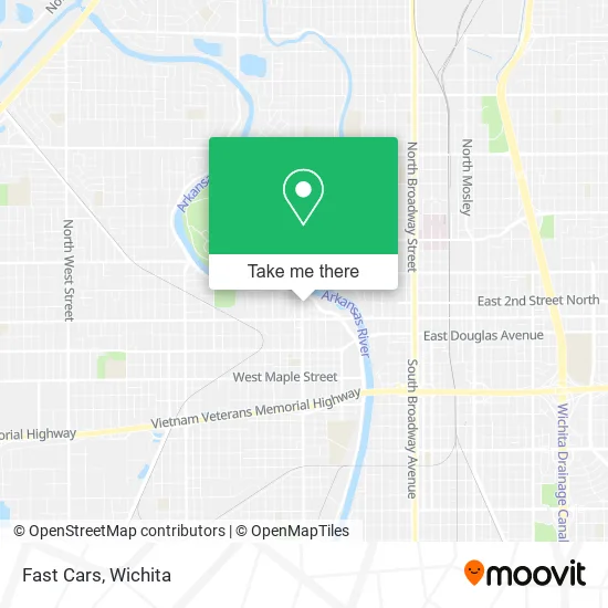
See Fast Cars, Wichita, on the map
Public Transit to Fast Cars in Wichita
Wondering how to get to Fast Cars in Wichita? Moovit helps you find the best way to get to Fast Cars with step-by-step directions from the nearest public transit station.
Moovit provides free maps and live directions to help you navigate through your city. View schedules, routes, timetables, and find out how long does it take to get to Fast Cars in real time.
Looking for the nearest stop or station to Fast Cars? Check out this list of stops closest to your destination: Mclean And Seneca; 2nd St. And Seneca; Central And Nims Ob; Walnut And Douglas; Douglas And Handley Ob.
Bus: ROUTE12: DOUGLAS, ROUTE14: DOUGLAS, ROUTE17: RIVERSI, Q-LINE CLIFTON T, ROUTE15: DOUGLAS.
Want to see if there’s another route that gets you there at an earlier time? Moovit helps you find alternative routes or times. Get directions from and directions to Fast Cars easily from the Moovit App or Website.
We make riding to Fast Cars easy, which is why over 1.5 million users, including users in Wichita, trust Moovit as the best app for public transit. You don’t need to download an individual bus app or train app, Moovit is your all-in-one transit app that helps you find the best bus time or train time available.
For information on prices of bus, costs and ride fares to Fast Cars, please check the Moovit app.
Use the app to navigate to popular places including to the airport, hospital, stadium, grocery store, mall, coffee shop, school, college, and university.
Fast Cars Address: 450 N Seneca St Wichita, KS 67203 street in Wichita
- Canyon Cedar,
- D Zane Johnson DVM,
- Riverside Harleys,
- Unity Group of Narcotics Anonymous,
- Absolute Printing,
- Mendoza Automotive,
- Melody J. Stuckey, LSCSW,
- Lynn Deckinger,
- Cimarron Dispatch,
- Ao Business Technology Services,
- Carbonless USA by Broadstroke, Inc.,
- Postalocity.Com,
- Indian Center Museum,
- Pawfit,
- Boeing Dome Theater and Planetarium,
- Exploration Place Miniature Golf,
- Rick Hodge Real Estate,
- Empowering Wellness,
- Medical Staffing Network Inc.,
- Joe's SEAT Cover & Car Wash
Places Near Fast Cars (Wichita)
- Afghan Halal Market, Wichita,
- Towne East Mall, Wichita,
- Ascencion Via Christi Hospital St Francis, Wichita,
- North High School, Wichita,
- McConnell Air Force Base, Mcconnell Afb,
- Spirit Aerosystems Inc, Building 1-198D,
- Lopez Services, Wichita,
- 21st & Maize, Wichita,
- Westside Athletic Field (Friends University Baseball Field), Wichita,
- East 21st Street North and Webb Road, Wichita,
- Ratcliff Auto and Truck Repair, Wichita,
- Paige Place Apartments, Wichita,
- Spirit AeroSystems, Bldg 2-280J (Section 9),
- Four Corners Cafe @ Wesley Medical Center, Wichita,
- Sena African Hair Braiding LLC, Wichita,
- Spirit Aerosystems,
- Wichita Dwight D. Eisenhower National Airport (ICT) (Wichita Eisenhower National Airport), Wichita,
- Hubb's glory hole, Wichita,
- Total Card Solutions, Wichita,
- Bmer Tech Automotive, Wichita
How to get to popular places in Wichita with public transit
Get around Wichita by public transit!
Traveling around Wichita has never been so easy. See step by step directions as you travel to any attraction, street or major public transit station. View bus and train schedules, arrival times, service alerts and detailed routes on a map, so you know exactly how to get to anywhere in Wichita.
When traveling to any destination around Wichita use Moovit's Live Directions with Get Off Notifications to know exactly where and how far to walk, how long to wait for your line, and how many stops are left. Moovit will alert you when it's time to get off — no need to constantly re-check whether yours is the next stop.
Wondering how to use public transit in Wichita or how to pay for public transit in Wichita? Moovit public transit app can help you navigate your way with public transit easily, and at minimum cost. It includes public transit fees, ticket prices, and costs. Looking for a map of Wichita public transit lines? Moovit public transit app shows all public transit maps in Wichita with all bus routes and stops on an interactive map.
Wichita has 1 transit type(s), including: bus, operated by several transit agencies, including Wichita Transit, Greyhound-us and FlixBus-us