How to get to Fast Connect by bus?
Click on the bus route to see step by step directions with maps, line arrival times and updated time schedules.
From 8th Street Latinas, Miami
77 minFrom Department of Children and Families, Miami
64 minFrom State Attorney's Office - Graham Bldg, Miami
63 minFrom Miami Senior High School, Miami
64 minFrom Wilkie D. Ferguson, Jr. United States Courthouse, Miami
45 minFrom Coral Way / SW 22nd Ave, Miami
77 minFrom La Pequena Habana, Miami
60 minFrom North Bay Village, Miami Beach
40 minFrom Calle Ocho, Miami
68 minFrom The Sherry Frontenac Hotel, Miami Beach
31 min
Bus stops near Fast Connect in Miami Beach
Bus lines to Fast Connect in Miami Beach
What are the closest stations to Fast Connect?
The closest stations to Fast Connect are:
- 17 St & Meridian Av is 221 yards away, 3 min walk.
- Lincoln Rd & Washington Av is 533 yards away, 7 min walk.
- Washington Av & 17 St is 540 yards away, 7 min walk.
- Lincoln Rd @ James Ave is 601 yards away, 8 min walk.
Which bus lines stop near Fast Connect?
These bus lines stop near Fast Connect: 100, 20, 36, 79.
What’s the nearest bus station to Fast Connect in Miami Beach?
The nearest bus station to Fast Connect in Miami Beach is 17 St & Meridian Av. It’s a 3 min walk away.
What time is the first bus to Fast Connect in Miami Beach?
The 79 is the first bus that goes to Fast Connect in Miami Beach. It stops nearby at 3:02 AM.
What time is the last bus to Fast Connect in Miami Beach?
The 100 is the last bus that goes to Fast Connect in Miami Beach. It stops nearby at 3:36 AM.
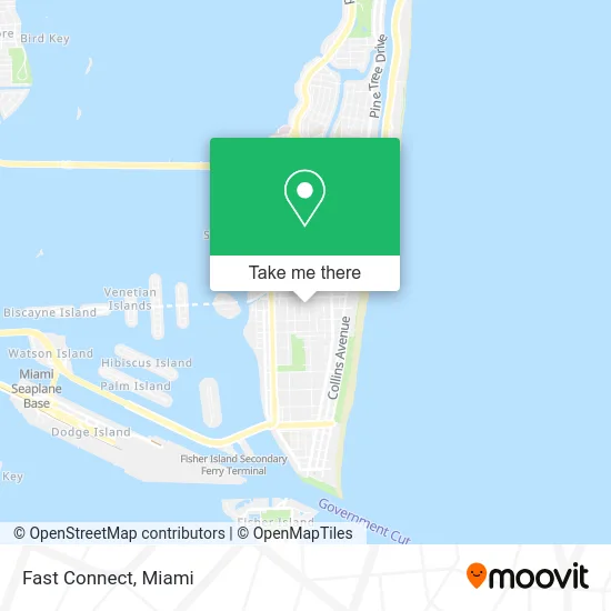
See Fast Connect, Miami Beach, on the map
Public Transit to Fast Connect in Miami Beach
Wondering how to get to Fast Connect in Miami Beach? Moovit helps you find the best way to get to Fast Connect with step-by-step directions from the nearest public transit station.
Moovit provides free maps and live directions to help you navigate through your city. View schedules, routes, timetables, and find out how long does it take to get to Fast Connect in real time.
Looking for the nearest stop or station to Fast Connect? Check out this list of stops closest to your destination: 17 St & Meridian Av; Lincoln Rd & Washington Av; Washington Av & 17 St; Lincoln Rd @ James Ave.
Bus: 100, 20, 36, 79, 15, 14, 150.
Want to see if there’s another route that gets you there at an earlier time? Moovit helps you find alternative routes or times. Get directions from and directions to Fast Connect easily from the Moovit App or Website.
We make riding to Fast Connect easy, which is why over 1.5 million users, including users in Miami Beach, trust Moovit as the best app for public transit. You don’t need to download an individual bus app or train app, Moovit is your all-in-one transit app that helps you find the best bus time or train time available.
For information on prices of bus, light rail and train, costs and ride fares to Fast Connect, please check the Moovit app.
Use the app to navigate to popular places including to the airport, hospital, stadium, grocery store, mall, coffee shop, school, college, and university.
Fast Connect Address: 812 Lincoln Ln N street in Miami Beach
- GEOX,
- Lincoln Road, Miami Beach (South Beach),
- South Beach Art Deco District,
- Sugar Factory American Brasserie,
- SKECHERS Retail,
- Just Brands Designer Outlet,
- Madewell (Lincon Road Mall),
- Apple Store,
- Macy's,
- Pure South Beach (Pure Denim of South Be),
- Alter Native Lincoln R,
- Mila,
- Same Day Car Dealers License (Miami Beach Car Accident Lawyer Group),
- Brad Johnson - the Keyes Company Realtors,
- Marco Esposito-the Keyes Company Realtors,
- Ole Ole Steakhouse,
- Goorin Bros. Hat Shop,
- Uni K Wax Studio (Uni K Wax-South Beach),
- 17th Street & Meridian Avenue,
- 17th Street Parking Garage
Places Near Fast Connect (Miami Beach)
- Aventura Mall, Miami Beach,
- Aventura Mall, Miami,
- Dolphin Mall Bus, Miami,
- Port of Miami Cruise Terminal, Miami,
- Sawgrass Mall, Miami,
- Miami-Dade County Courthouse, Miami,
- Richard E. Gerstein Justice Building, Miami,
- Miami VA Hospital, Miami,
- Little Havana, Miami,
- Keiser University Flagship Campus, West Palm Beach,
- Sawgrass mall ( FL ), Miami Beach,
- Wynwood, Miami,
- Brickell City Centre, Miami,
- Hard Rock Stadium, Miami Gardens,
- Miami Design District, Miami,
- Zoo Miami, Miami,
- Marlins Park, Miami,
- Bayside Marketplace, Miami,
- Miami Freedom Park, Miami,
- Dolphin Mall, Miami
How to get to popular places in Miami with public transit
Get around Miami Beach by public transit!
Traveling around Miami Beach has never been so easy. See step by step directions as you travel to any attraction, street or major public transit station. View bus and train schedules, arrival times, service alerts and detailed routes on a map, so you know exactly how to get to anywhere in Miami Beach.
When traveling to any destination around Miami Beach use Moovit's Live Directions with Get Off Notifications to know exactly where and how far to walk, how long to wait for your line, and how many stops are left. Moovit will alert you when it's time to get off — no need to constantly re-check whether yours is the next stop.
Wondering how to use public transit in Miami Beach or how to pay for public transit in Miami Beach? Moovit public transit app can help you navigate your way with public transit easily, and at minimum cost. It includes public transit fees, ticket prices, and costs. Looking for a map of Miami Beach public transit lines? Moovit public transit app shows all public transit maps in Miami Beach with all Bus, Train, Light Rail and Ferry routes and stops on an interactive map.
Miami has 4 transit type(s), including: Bus, Train, Light Rail and Ferry, operated by several transit agencies, including Broward County Transit, Miami-Dade Transit, Metrorail, Palm Tran, Tri-Rail, Brightline, MARTY, City of Homestead Trolley, Key West Transit, Treasure Coast Connector, GoLine IRT, Amtrak, Greyhound-us, FlixBus-us and Aventura Express Shuttle Bus