How to get to Fast Transport by bus?
Click on the bus route to see step by step directions with maps, line arrival times and updated time schedules.
From Palmetto General Hospital, Hialeah
104 minFrom Palmetto 826 Coral Way exit, South Westside
71 minFrom SR 826 Palmetto Expressway South, Hialeah
98 minFrom DoubleTree by Hilton Hotel Miami Airport & Convention Center, North Westside
57 minFrom Nicklaus Children's Hospital, Miami
87 minFrom MDT Metrorail - Hialeah Station, Hialeah
97 minFrom Comfort Suites Miami Airport North, Miami
88 minFrom Hialeah Park Casino, Hialeah
106 minFrom Clarion Inn & Suites Miami Airport, Miami
83 minFrom Miami Springs Senior High School, Miami
104 min
Bus stops near Fast Transport in North Westside
Bus lines to Fast Transport in North Westside
What are the closest stations to Fast Transport?
The closest stations to Fast Transport are:
- Nw 107 Av & Nw 31 Tr (S/f) is 425 yards away, 6 min walk.
- Nw 33 St & Nw 112 Av is 451 yards away, 6 min walk.
- Doral Academy High School is 619 yards away, 8 min walk.
Which bus lines stop near Fast Transport?
These bus lines stop near Fast Transport: DLOOP1, DLOOP2, DLOOP4.
What’s the nearest bus station to Fast Transport in North Westside?
The nearest bus stations to Fast Transport in North Westside are Nw 107 Av & Nw 31 Tr (S/f) and Nw 33 St & Nw 112 Av. The closest one is a 6 min walk away.
What time is the first bus to Fast Transport in North Westside?
The DLOOP1 is the first bus that goes to Fast Transport in North Westside. It stops nearby at 6:17 AM.
What time is the last bus to Fast Transport in North Westside?
The DLOOP4 is the last bus that goes to Fast Transport in North Westside. It stops nearby at 10:42 PM.
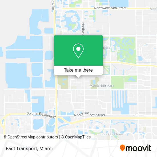
See Fast Transport, North Westside, on the map
Public Transit to Fast Transport in North Westside
Wondering how to get to Fast Transport in North Westside? Moovit helps you find the best way to get to Fast Transport with step-by-step directions from the nearest public transit station.
Moovit provides free maps and live directions to help you navigate through your city. View schedules, routes, timetables, and find out how long does it take to get to Fast Transport in real time.
Looking for the nearest stop or station to Fast Transport? Check out this list of stops closest to your destination: Nw 107 Av & Nw 31 Tr (S/f); Nw 33 St & Nw 112 Av; Doral Academy High School.
Bus: DLOOP1, DLOOP2, DLOOP4.
Want to see if there’s another route that gets you there at an earlier time? Moovit helps you find alternative routes or times. Get directions from and directions to Fast Transport easily from the Moovit App or Website.
We make riding to Fast Transport easy, which is why over 1.5 million users, including users in North Westside, trust Moovit as the best app for public transit. You don’t need to download an individual bus app or train app, Moovit is your all-in-one transit app that helps you find the best bus time or train time available.
For information on prices of bus and train, costs and ride fares to Fast Transport, please check the Moovit app.
Use the app to navigate to popular places including to the airport, hospital, stadium, grocery store, mall, coffee shop, school, college, and university.
Fast Transport Address: 10813 NW 30th St Miami, FL 33172 street in North Westside
- Adornus Cabinetry,
- Trans-Trade Brokers,
- G T X,
- Total Electrical Solutions,
- Tiger J Import Export,
- Avj Drywall Marble Design,
- Sifa USA,
- Inhoome Security,
- Almax Cargo,
- Dtalles Photography,
- Citimarine Store,
- CPS Logistics Transport Systems,
- Miguel Angel Productions,
- Ricky's Electrical Systems,
- LCH Trading,
- Doral Conservatory - Clases de Musica Arte Baile Teatro Musical Tutorias,
- Nipro Medical Corporation,
- Agape Para El Mundo,
- Doral City Church,
- Multilayer Ceramics
Places Near Fast Transport (North Westside)
- Bayside Marketplace, Miami,
- Hard Rock Stadium, Miami Gardens,
- Zoo Miami, Miami,
- Aventura Mall, Miami Beach,
- Little Havana, Miami,
- Dolphin Mall, Miami,
- Miami VA Hospital, Miami,
- Dolphin Mall Bus, Miami,
- Keiser University Flagship Campus, West Palm Beach,
- Brickell City Centre, Miami,
- Aventura Mall, Miami,
- Miami-Dade County Courthouse, Miami,
- Wynwood, Miami,
- Miami Freedom Park, Miami,
- Port of Miami Cruise Terminal, Miami,
- Richard E. Gerstein Justice Building, Miami,
- Sawgrass mall ( FL ), Miami Beach,
- Marlins Park, Miami,
- Sawgrass Mall, Miami,
- Miami Design District, Miami
How to get to popular places in Miami with public transit
Get around North Westside by public transit!
Traveling around North Westside has never been so easy. See step by step directions as you travel to any attraction, street or major public transit station. View bus and train schedules, arrival times, service alerts and detailed routes on a map, so you know exactly how to get to anywhere in North Westside.
When traveling to any destination around North Westside use Moovit's Live Directions with Get Off Notifications to know exactly where and how far to walk, how long to wait for your line, and how many stops are left. Moovit will alert you when it's time to get off — no need to constantly re-check whether yours is the next stop.
Wondering how to use public transit in North Westside or how to pay for public transit in North Westside? Moovit public transit app can help you navigate your way with public transit easily, and at minimum cost. It includes public transit fees, ticket prices, and costs. Looking for a map of North Westside public transit lines? Moovit public transit app shows all public transit maps in North Westside with all Bus, Train, Light Rail and Ferry routes and stops on an interactive map.
Miami has 4 transit type(s), including: Bus, Train, Light Rail and Ferry, operated by several transit agencies, including Broward County Transit, Miami-Dade Transit, Metrorail, Palm Tran, Tri-Rail, Brightline, MARTY, City of Homestead Trolley, Key West Transit, Treasure Coast Connector, GoLine IRT, Amtrak, Greyhound-us, FlixBus-us and Aventura Express Shuttle Bus