How to get to Favela Colosio by bus?
Click on the bus route to see step by step directions with maps, line arrival times and updated time schedules.
From La Santa Niña, Aguascalientes
45 minFrom Campos De Futbol Loma Bonita, Aguascalientes
68 minFrom Inegi, Aguascalientes
36 minFrom Santuario del Divino Niño Jesus, Aguascalientes
43 minFrom IMSS Hospital General de Zona No 1, Aguascalientes
31 minFrom Av. Heroe Inmortal, Aguascalientes
33 minFrom Secundaria General No. 3 "Congreso de Anahuac", Aguascalientes
28 minFrom Universidad Villasuncion, Aguascalientes
29 minFrom Canchas de futbol Cruz Azul, Aguascalientes
69 minFrom Mujeres Ilustres, Aguascalientes
51 min
Bus stops near Favela Colosio in Aguascalientes
Bus lines to Favela Colosio in Aguascalientes
What are the closest stations to Favela Colosio?
The closest stations to Favela Colosio are:
- Avenida Independencia, 1912-1918 is 394 meters away, 6 min walk.
- Boulevard Luis Donaldo Colosio Murrieta, 788 is 460 meters away, 7 min walk.
- Hotel Las Trojes is 745 meters away, 10 min walk.
- Entrada A Galerias is 847 meters away, 11 min walk.
Which bus lines stop near Favela Colosio?
These bus lines stop near Favela Colosio: RUTA 06, RUTA 10, RUTA 18, RUTA 35.
What’s the nearest bus station to Favela Colosio in Aguascalientes?
The nearest bus station to Favela Colosio in Aguascalientes is Avenida Independencia, 1912-1918. It’s a 6 min walk away.
What time is the first bus to Favela Colosio in Aguascalientes?
The RUTA 10 is the first bus that goes to Favela Colosio in Aguascalientes. It stops nearby at 6:11 AM.
What time is the last bus to Favela Colosio in Aguascalientes?
The RUTA 10 is the last bus that goes to Favela Colosio in Aguascalientes. It stops nearby at 10:15 PM.
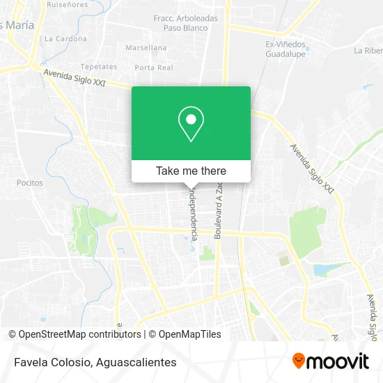
See Favela Colosio, Aguascalientes, on the map
Public Transit to Favela Colosio in Aguascalientes
Wondering how to get to Favela Colosio in Aguascalientes? Moovit helps you find the best way to get to Favela Colosio with step-by-step directions from the nearest public transit station.
Moovit provides free maps and live directions to help you navigate through your city. View schedules, routes, timetables, and find out how long does it take to get to Favela Colosio in real time.
Looking for the nearest stop or station to Favela Colosio? Check out this list of stops closest to your destination: Avenida Independencia; Boulevard Luis Donaldo Colosio Murrieta; Hotel Las Trojes; Entrada A Galerias.
Bus: RUTA 06, RUTA 10, RUTA 18, RUTA 35, RUTA 45, RUTA 05, RUTA 01.
Want to see if there’s another route that gets you there at an earlier time? Moovit helps you find alternative routes or times. Get directions from and directions to Favela Colosio easily from the Moovit App or Website.
We make riding to Favela Colosio easy, which is why over 1.5 million users, including users in Aguascalientes, trust Moovit as the best app for public transit. You don’t need to download an individual bus app or train app, Moovit is your all-in-one transit app that helps you find the best bus time or train time available.
For information on prices of bus, costs and ride fares to Favela Colosio, please check the Moovit app.
Use the app to navigate to popular places including to the airport, hospital, stadium, grocery store, mall, coffee shop, school, college, and university.
Favela Colosio Address: Boulevard Luis Donaldo Colosio Murrieta 645, Fracc Jardines de la Concepcion II, 20120 Aguascalient street in Aguascalientes
- Central Quirurjica Colosio,
- Restaurant Bar Odisea,
- Classico Aguascalientes,
- Bravo Aja Bar Reservaciones,
- Mueblería Escalante,
- Plaza Diamante,
- Teleperformance,
- Bbva Bancomer sa Instit de Banca Múltiple Grupo Financier,
- Taqueria Lechón Chuy,
- Cantina Ochenta y Uno,
- Casino Palmas,
- Buffalo Wild Wings,
- Boulevard Luis Donaldo Colosio Murrieta,
- Venta de Utencilios de Cocina,
- Office Depot,
- Petco,
- Mr. Sushi,
- San en México,
- Boutique Antonia,
- Apfel
Places Near Favela Colosio (Aguascalientes)
- Blvd. Luis Donaldo Colosio, Aguascalientes,
- Terminal De Combis, Aguascalientes,
- ESPACIOS, Aguascalientes,
- Nuevo Hospital Hidalgo, Aguascalientes,
- Parque Las Tres Centurias, Aguascalientes,
- Villas de Nuestra Señora de la Asunción, Aguascalientes,
- Ciudad industrial, Aguascalientes,
- Isla San Marcos, Aguascalientes,
- Universidad Autónoma de Aguascalientes, Aguascalientes,
- Agropecuario, Aguascalientes,
- clinica 3 uaa, Aguascalientes,
- Hospital Imss No. 3, Aguascalientes,
- Imss Clinica 1, Aguascalientes,
- Centro Comercial Altaria, Aguascalientes,
- Central De Autobuses, Aguascalientes,
- Jesús María, Aguascalientes,
- Aeropuerto de Aguascalientes S.A. de C.V., Aguascalientes,
- Villasuncion, Aguascalientes,
- Centro, Aguascalientes,
- La Isla San Marcos, Aguascalientes
How to get to popular places in Aguascalientes with public transit
Get around Aguascalientes by public transit!
Traveling around Aguascalientes has never been so easy. See step by step directions as you travel to any attraction, street or major public transit station. View bus and train schedules, arrival times, service alerts and detailed routes on a map, so you know exactly how to get to anywhere in Aguascalientes.
When traveling to any destination around Aguascalientes use Moovit's Live Directions with Get Off Notifications to know exactly where and how far to walk, how long to wait for your line, and how many stops are left. Moovit will alert you when it's time to get off — no need to constantly re-check whether yours is the next stop.
Wondering how to use public transit in Aguascalientes or how to pay for public transit in Aguascalientes? Moovit public transit app can help you navigate your way with public transit easily, and at minimum cost. It includes public transit fees, ticket prices, and costs. Looking for a map of Aguascalientes public transit lines? Moovit public transit app shows all public transit maps in Aguascalientes with all bus routes and stops on an interactive map.
Aguascalientes has 1 transit type(s), including: bus, operated by several transit agencies, including Coordinación General de Movilidad