How to get to Fbic by bus?
Click on the bus route to see step by step directions with maps, line arrival times and updated time schedules.
From Busch Gardens Williamsburg (Employee Parking Lot), James City County
168 minFrom Lorton, VA, Fairfax County
237 minFrom Lorton, VA - Amtrak Auto Train Station (LOR), Fairfax County
242 minFrom Potomac Mills Mall, Prince William County
228 minFrom Rose Gaming Resort, Prince William County
252 minFrom Woodbridge, VA, Prince William County
176 minFrom Amazon Fulfillment Center-Ric3, Richmond
106 minFrom UVA Hospital Medical Center, Charlottesville
317 min
Bus stops near Fbic in Richmond
What are the closest stations to Fbic?
The closest stations to Fbic are:
- Patterson + Hamilton is 25 yards away, 1 min walk.
- Grove + Nansemond is 407 yards away, 5 min walk.
Which bus lines stop near Fbic?
These bus lines stop near Fbic: 18, 76, 77, BRT.
What’s the nearest bus station to Fbic in Richmond?
The nearest bus station to Fbic in Richmond is Patterson + Hamilton. It’s a 1 min walk away.
What time is the first bus to Fbic in Richmond?
The 76 is the first bus that goes to Fbic in Richmond. It stops nearby at 5:32 AM.
What time is the last bus to Fbic in Richmond?
The 77 is the last bus that goes to Fbic in Richmond. It stops nearby at 6:34 PM.
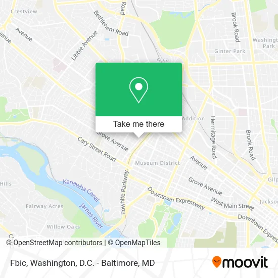
See Fbic, Richmond, on the map
Public Transit to Fbic in Richmond
Wondering how to get to Fbic in Richmond? Moovit helps you find the best way to get to Fbic with step-by-step directions from the nearest public transit station.
Moovit provides free maps and live directions to help you navigate through your city. View schedules, routes, timetables, and find out how long does it take to get to Fbic in real time.
Looking for the nearest stop or station to Fbic? Check out this list of stops closest to your destination: Patterson + Hamilton; Grove + Nansemond.
Bus: 18, 76, 77, BRT.
Want to see if there’s another route that gets you there at an earlier time? Moovit helps you find alternative routes or times. Get directions from and directions to Fbic easily from the Moovit App or Website.
We make riding to Fbic easy, which is why over 1.5 million users, including users in Richmond, trust Moovit as the best app for public transit. You don’t need to download an individual bus app or train app, Moovit is your all-in-one transit app that helps you find the best bus time or train time available.
For information on prices of bus and train, costs and ride fares to Fbic, please check the Moovit app.
Use the app to navigate to popular places including to the airport, hospital, stadium, grocery store, mall, coffee shop, school, college, and university.
Fbic Address: 710 N Hamilton St Richmond, VA 23221 street in Richmond
- Boots To Suits,
- Hathaway Adair, P.C.,
- Worrell Law,
- Ayers & Stolte, PC,
- K Matthew Long,
- Woodfin Heating,
- Wells Coleman & Company,
- Rudlin Torah Academy,
- Richmond Academy,
- Grade Level,
- Maureen White PC Attorney and Counselor at Law,
- Little Free Library,
- General Conference of Seventh-Day Adventists,
- Patterson Avenue Seventh-Day Adventist Church,
- Community of Believers,
- Free Quote Locksmiths,
- James C Sutherland Jr MD,
- Palmore Randolph H MD,
- Dr. Julie Palmore,
- Franklin D Munyan Lawyer
Places Near Fbic (Richmond)
- M&T Bank Stadium, Baltimore,
- Georgetown, Washington,
- Rock Creek Tennis Center, Washington,
- Washington National Cathedral, Washington,
- National Museum of African American History and Culture, Washington,
- Museum Of The Bible, Washington,
- Washington DC VA Medical Center, Washington,
- Basilica of the National Shrine, Washington,
- Capital One Arena, Washington,
- Marriott Marquis Washington, DC, Washington,
- Westfield Montgomery Mall, Montgomery County,
- Warner Theatre, Washington,
- Sibley Memorial Hospital, Washington,
- PG Mall, Prince George's County,
- National Zoo, Washington,
- Amazon Hq2, Arlington County,
- The Anthem, Washington,
- National Theatre, Washington,
- Pennsylvania Ave NW (3rd st and pennsylvania), Washington,
- Camden Yards, Baltimore
How to get to popular places in Washington, D.C. - Baltimore, MD with public transit
Get around Richmond by public transit!
Traveling around Richmond has never been so easy. See step by step directions as you travel to any attraction, street or major public transit station. View bus and train schedules, arrival times, service alerts and detailed routes on a map, so you know exactly how to get to anywhere in Richmond.
When traveling to any destination around Richmond use Moovit's Live Directions with Get Off Notifications to know exactly where and how far to walk, how long to wait for your line, and how many stops are left. Moovit will alert you when it's time to get off — no need to constantly re-check whether yours is the next stop.
Wondering how to use public transit in Richmond or how to pay for public transit in Richmond? Moovit public transit app can help you navigate your way with public transit easily, and at minimum cost. It includes public transit fees, ticket prices, and costs. Looking for a map of Richmond public transit lines? Moovit public transit app shows all public transit maps in Richmond with all Bus, Train, Metro, Light Rail and Ferry routes and stops on an interactive map.
Washington, D.C. - Baltimore, MD has 5 transit type(s), including: Bus, Train, Metro, Light Rail and Ferry, operated by several transit agencies, including WMATA, Montgomery County Ride On, Fairfax Connector, TheBus, PRTC, DASH - Alexandria, Arlington Transit (ART), RTA of Central Maryland, MDOT MTA, MDOT MTA Light RailLink, MDOT MTA Commuter Bus, MDOT MTA Local Bus, FXBGO!, Virginia Railway Express (VRE) and MARC