
Felipe II stop - Thursday schedule
| Line | Direction | Time |
|---|---|---|
| N3 | Cibeles | 05:05 |
| N5 | Cibeles | 05:06 |
| N7 | Cibeles | 05:08 |
| N5 | Cibeles | 05:25 |
| N3 | Cibeles | 05:37 |
| N7 | Cibeles | 05:44 |
| N5 | Cibeles | 05:58 |
| 146 | Callao | 06:18 |
| N3 | Cibeles | 06:22 |
| N7 | Cibeles | 06:29 |
| 146 | Callao | 06:29 |
| N5 | Cibeles | 06:29 |
| 146 | Callao | 06:40 |
| 146 | Callao | 06:51 |
| 146 | Callao | 07:01 |
| 146 | Callao | 07:12 |
| 146 | Callao | 07:23 |
| 146 | Callao | 07:33 |
| 146 | Callao | 07:43 |
| 146 | Callao | 07:53 |
| 146 | Callao | 08:02 |
| 146 | Callao | 08:11 |
| 146 | Callao | 08:19 |
| 146 | Callao | 08:28 |
| 146 | Callao | 08:37 |
Directions to Felipe II stop (Área Metropolitana De Madrid Y Corredor Del Henares) with public transit
The following transit lines have routes that pass near Felipe II
 Bus: 15, 21, 29, E3, 215.
- Train: C10, C7.
- Metro: M-2, M-4, M-9, M-6.
How to get to Felipe II stop by public transit?
Click on the bus route to see step-by-step directions with maps, line arrival times and updated time schedules.
How to get to Felipe II stop by public transit?
Click on the train route to see step-by-step directions with maps, line arrival times and updated time schedules.
How to get to Felipe II stop by public transit?
Click on the metro route to see step-by-step directions with maps, line arrival times and updated time schedules.
Bus stops near Felipe II stop in Área Metropolitana De Madrid Y Corredor Del Henares
- Felipe II, 1 min walk,
Metro stations near Felipe II station in Área Metropolitana De Madrid Y Corredor Del Henares
- Príncipe De Vergara, 4 min walk,
- Goya, 6 min walk,
- O'Donnell, 10 min walk,
Bus lines to Felipe II stop in Área Metropolitana De Madrid Y Corredor Del Henares
- 15, La Elipa,
- 29, Manoteras,
- 215, Parque Roma,
- E2, Las Rosas,
- E3, Felipe II,
- 43, Felipe II,
- 63, Santa Eugenia,
- N5, Fin De Semana,
- N7, Valderrivas,
- 21, El Salvador,
- 53, Arturo Soria,
- 152, Mendez Alvaro,
- 30, Pavones,
- C1, Circular 1,
- N3, Feria De Madrid,
- 26, Diego De Leon,
- 61, Narvaez,
- E4, Felipe II,
- E5, Manuel Becerra,
- 146, Los Molinos,
What are the closest stations to Felipe II?
The closest stations to Felipe II are:
- Felipe II stop is 41 meters away, 1 min walk.
- Príncipe De Vergara station is 255 meters away, 4 min walk.
- Goya station is 444 meters away, 6 min walk.
- O'Donnell station is 794 meters away, 10 min walk.
Which bus lines stop near Felipe II?
These bus lines stop near Felipe II: 15, 21, 29, E3.
Which train lines stop near Felipe II?
These train lines stop near Felipe II: C10, C7.
Which metro lines stop near Felipe II?
These metro lines stop near Felipe II: M-2, M-4, M-9.
What’s the nearest metro station to Felipe II in Área Metropolitana De Madrid Y Corredor Del Henares?
The nearest metro station to Felipe II in Área Metropolitana De Madrid Y Corredor Del Henares is Príncipe De Vergara. It’s a 4 min walk away.
What’s the nearest bus station to Felipe II in Área Metropolitana De Madrid Y Corredor Del Henares?
The nearest bus station to Felipe II in Área Metropolitana De Madrid Y Corredor Del Henares is Felipe II. It’s a 1 min walk away.
What time is the first metro to Felipe II in Área Metropolitana De Madrid Y Corredor Del Henares?
The M-2 is the first metro that goes to Felipe II in Área Metropolitana De Madrid Y Corredor Del Henares. It stops nearby at 6:06 AM.
What time is the last metro to Felipe II in Área Metropolitana De Madrid Y Corredor Del Henares?
The M-4 is the last metro that goes to Felipe II in Área Metropolitana De Madrid Y Corredor Del Henares. It stops nearby at 1:57 AM.
What time is the first bus to Felipe II in Área Metropolitana De Madrid Y Corredor Del Henares?
The N5 is the first bus that goes to Felipe II in Área Metropolitana De Madrid Y Corredor Del Henares. It stops nearby at 3:05 AM.
What time is the last bus to Felipe II in Área Metropolitana De Madrid Y Corredor Del Henares?
The N3 is the last bus that goes to Felipe II in Área Metropolitana De Madrid Y Corredor Del Henares. It stops nearby at 3:01 AM.
Felipe II station
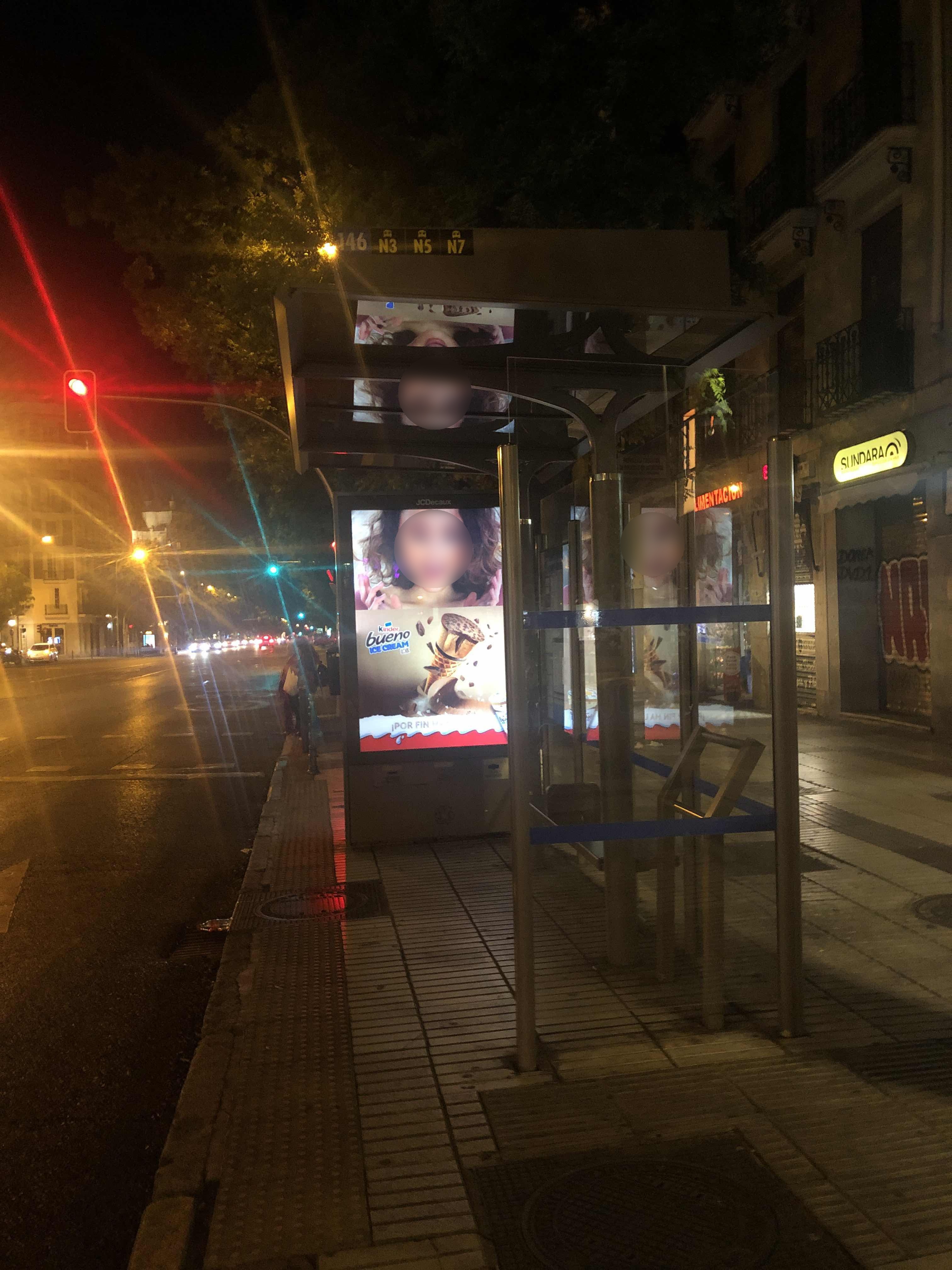 Taken by Anonymous
See Felipe II stop, Área Metropolitana De Madrid Y Corredor Del Henares, on the map
Public transit to Felipe II stop (ID: 754) in Área Metropolitana De Madrid Y Corredor Del Henares
Looking for directions to Felipe II in Área Metropolitana De Madrid Y Corredor Del Henares, Spain?
Download the Moovit App to find the current schedule and step-by-step directions for Metro, Bus or Train routes that pass through Felipe II.
Looking for the stops closest to Felipe II? Check out this list of closest stops to your destination: Felipe II; Príncipe De Vergara; Goya; O'Donnell.
Bus: 15, 21, 29, E3, 215, E2, 43, 63.Train: C10, C7.Metro: M-2, M-4, M-9, M-6.
We make riding on public transit to Felipe II easy, which is why over 1.7 billion users, including users in Área Metropolitana De Madrid Y Corredor Del Henares, trust Moovit as the best app for public transit.
Use the app to navigate to popular places including to the airport, hospital, stadium, grocery store, mall, coffee shop, school, college, and university.
Felipe II stop’s code is 754
The first line to this stop is N3, at 05:05, and the last line is N7 at 04:33.
149 Calle de Alcalá, Madrid, Spain
This stop serves EMT’s lines
- Felipe II
Bus stop near Felipe II stop
- Príncipe De Vergara,
- Goya,
- O'Donnell
Metro stations near Felipe II station
- Príncipe Pío - Campo Del Moro,
- Terminal T4, Salidas,
- Vicente Aleixandre,
- Polígonos Marchamalo - Ciudad Del Transporte (Gxo),
- Hospital San Rafael,
- Hospital Ramón Y Cajal,
- Diego De León,
- Palacio Real,
- Hospital La Paz - Maternidad,
- Av. De La Pedriza (La Hora Joven),
- Villaverde Bajo - Cruce,
- Ciudad Periodistas,
- Opañel,
- Concha Espina,
- P.º Príncipe - Telemadrid,
- Nueva Numancia,
- Príncipe De Vergara - Goya,
- Conde De Casal - Doctor Esquerdo,
- El Casar,
- Enrique Larreta