Directions to Fields Body Bar (Baltimore County) with public transportation
The following transit lines have routes that pass near Fields Body Bar
 Bus: 36, 53, 54, CITYLINK GREEN, 154.
How to get to Fields Body Bar by bus?
Click on the bus route to see step by step directions with maps, line arrival times and updated time schedules.
From Enoch Pratt Free Library - Central Library, Baltimore
45 minFrom Medstar Union Memorial Hospital, Baltimore
34 minFrom Mondawmin Mall, Baltimore
62 minFrom Harford Road, Baltimore
32 minFrom Mva, Baltimore
45 minFrom Patterson Park, Baltimore
61 minFrom Johns Hopkins Mountcastle Auditorium, Baltimore
65 minFrom Megabus Stop - White Marsh Park & Ride, Baltimore County
56 minFrom Baltimore Museum Of Art, Baltimore
36 minFrom Mercy Medical Center, Baltimore
50 min
Bus stops near Fields Body Bar in Baltimore County
Bus lines to Fields Body Bar in Baltimore County
What are the closest stations to Fields Body Bar?
The closest stations to Fields Body Bar are:
- Goucher Blvd & Colbury Rd Opp Nb is 63 yards away, 2 min walk.
- #338 Colbury Rd is 103 yards away, 2 min walk.
- Loch Raven Blvd & Loch Raven Plaza Sb is 133 yards away, 3 min walk.
- Taylor Ave & Loch Raven Blvd Eb is 135 yards away, 3 min walk.
Which bus lines stop near Fields Body Bar?
These bus lines stop near Fields Body Bar: 36, 53, 54, CITYLINK GREEN.
What’s the nearest bus station to Fields Body Bar in Baltimore County?
The nearest bus stations to Fields Body Bar in Baltimore County are Goucher Blvd & Colbury Rd Opp Nb and #338 Colbury Rd. The closest one is a 2 min walk away.
What time is the first bus to Fields Body Bar in Baltimore County?
The 53 is the first bus that goes to Fields Body Bar in Baltimore County. It stops nearby at 3:58 AM.
What time is the last bus to Fields Body Bar in Baltimore County?
The CITYLINK GREEN is the last bus that goes to Fields Body Bar in Baltimore County. It stops nearby at 3:12 AM.
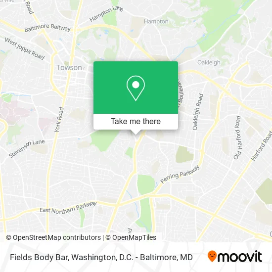
See Fields Body Bar, Baltimore County, on the map
Public Transit to Fields Body Bar in Baltimore County
Wondering how to get to Fields Body Bar in Baltimore County? Moovit helps you find the best way to get to Fields Body Bar with step-by-step directions from the nearest public transit station.
Moovit provides free maps and live directions to help you navigate through your city. View schedules, routes, timetables, and find out how long does it take to get to Fields Body Bar in real time.
Looking for the nearest stop or station to Fields Body Bar? Check out this list of stops closest to your destination: Goucher Blvd & Colbury Rd Opp Nb; #338 Colbury Rd; Loch Raven Blvd & Loch Raven Plaza Sb; Taylor Ave & Loch Raven Blvd Eb.
Bus: 36, 53, 54, CITYLINK GREEN, 154, GOUCHER - LOCH RAVEN, 103.
Want to see if there’s another route that gets you there at an earlier time? Moovit helps you find alternative routes or times. Get directions from and directions to Fields Body Bar easily from the Moovit App or Website.
We make riding to Fields Body Bar easy, which is why over 1.5 million users, including users in Baltimore County, trust Moovit as the best app for public transit. You don’t need to download an individual bus app or train app, Moovit is your all-in-one transit app that helps you find the best bus time or train time available.
For information on prices of bus, costs and ride fares to Fields Body Bar, please check the Moovit app.
Use the app to navigate to popular places including to the airport, hospital, stadium, grocery store, mall, coffee shop, school, college, and university.
Fields Body Bar Address: 1322 Goucher Blvd Towson, MD 21286 street in Baltimore County
- Salons by JC Towson,
- Western Union,
- Emergency Chiropractic Care,
- Grantd,
- Auto Repair Fleet Services,
- Massages by Annie,
- PP*Tara Gregory Tricho,
- Bubbakoo's Burritos,
- Verizon Wireless,
- Hillendale Shopping Center,
- Youth with A Future,
- Speed Queen Factory Certified Appliance Repair,
- Beauty 7 Towson,
- Order Online,
- Plumbing Clogged Toilets,
- Loch Raven Blvd And Taylor Ave,
- Duranmvpjewelers,
- Crown,
- Oneals Crabs,
- Penske Auto Center
Places Near Fields Body Bar (Baltimore County)
- Washington National Cathedral, Washington,
- National Mall, Washington,
- Camden Yards, Baltimore,
- Sibley Memorial Hospital, Washington,
- Georgetown, Washington,
- The Anthem, Washington,
- Rock Creek Tennis Center, Washington,
- Marriott Marquis Washington, DC, Washington,
- National Museum of African American History and Culture, Washington,
- Museum Of The Bible, Washington,
- Washington DC VA Medical Center, Washington,
- Amazon Hq2, Arlington County,
- Capital One Arena, Washington,
- PG Mall, Prince George's County,
- Pennsylvania Ave NW (3rd st and pennsylvania), Washington,
- M&T Bank Stadium, Baltimore,
- Basilica of the National Shrine, Washington,
- National Zoo, Washington,
- Westfield Montgomery Mall, Montgomery County,
- Warner Theatre, Washington
How to get to popular places in Washington, D.C. - Baltimore, MD with public transit
Get around Baltimore County by public transit!
Traveling around Baltimore County has never been so easy. See step by step directions as you travel to any attraction, street or major public transit station. View bus and train schedules, arrival times, service alerts and detailed routes on a map, so you know exactly how to get to anywhere in Baltimore County.
When traveling to any destination around Baltimore County use Moovit's Live Directions with Get Off Notifications to know exactly where and how far to walk, how long to wait for your line, and how many stops are left. Moovit will alert you when it's time to get off — no need to constantly re-check whether yours is the next stop.
Wondering how to use public transit in Baltimore County or how to pay for public transit in Baltimore County? Moovit public transit app can help you navigate your way with public transit easily, and at minimum cost. It includes public transit fees, ticket prices, and costs. Looking for a map of Baltimore County public transit lines? Moovit public transit app shows all public transit maps in Baltimore County with all Bus, Train, Metro, Light Rail and Ferry routes and stops on an interactive map.
Washington, D.C. - Baltimore, MD has 5 transit type(s), including: Bus, Train, Metro, Light Rail and Ferry, operated by several transit agencies, including WMATA, Montgomery County Ride On, Fairfax Connector, TheBus, PRTC, DASH - Alexandria, Arlington Transit (ART), RTA of Central Maryland, MDOT MTA, MDOT MTA Light RailLink, MDOT MTA Commuter Bus, MDOT MTA Local Bus, FXBGO!, Virginia Railway Express (VRE) and MARC