How to get to Firestone by bus?
Click on the bus route to see step by step directions with maps, line arrival times and updated time schedules.
From William Lutsky Family YMCA, Edmonton
23 minFrom Olson Rosswell F Psychologist, Edmonton
62 minFrom Argyll Plaza Hotel, Edmonton
76 minFrom 7259 Winterburn Road Northwest, Edmonton
121 minFrom Union Hall Events Centre, Edmonton
74 minFrom Malhotra Wholesale, Edmonton
67 minFrom Aqua Market, Edmonton
54 minFrom Warm Hearts & Wet Noses, Edmonton
75 minFrom Costco, Edmonton
121 minFrom T5T 4J2, Edmonton
61 min
Bus stops near Firestone in Edmonton
What are the closest stations to Firestone?
The closest stations to Firestone are:
- Currents Drive & Windermere Boulevard is 238 meters away, 4 min walk.
- 156 Street & Simpson Place is 3324 meters away, 43 min walk.
Which bus line stops near Firestone?
716 (Century Park Transit Centre→Leger Transit Centre)
What’s the nearest bus station to Firestone in Edmonton?
The nearest bus station to Firestone in Edmonton is Currents Drive & Windermere Boulevard. It’s a 4 min walk away.
What time is the first bus to Firestone in Edmonton?
The 715 is the first bus that goes to Firestone in Edmonton. It stops nearby at 6:21 AM.
What time is the last bus to Firestone in Edmonton?
The 716 is the last bus that goes to Firestone in Edmonton. It stops nearby at 12:03 AM.
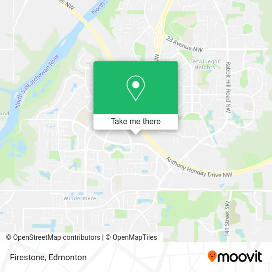
See Firestone, Edmonton, on the map
Public Transit to Firestone in Edmonton
Wondering how to get to Firestone in Edmonton? Moovit helps you find the best way to get to Firestone with step-by-step directions from the nearest public transit station.
Moovit provides free maps and live directions to help you navigate through your city. View schedules, routes, timetables, and find out how long does it take to get to Firestone in real time.
Looking for the nearest stop or station to Firestone? Check out this list of stops closest to your destination: Currents Drive & Windermere Boulevard; 156 Street & Simpson Place.
Bus: 716, 715.
Want to see if there’s another route that gets you there at an earlier time? Moovit helps you find alternative routes or times. Get directions from and directions to Firestone easily from the Moovit App or Website.
We make riding to Firestone easy, which is why over 1.5 million users, including users in Edmonton, trust Moovit as the best app for public transit. You don’t need to download an individual bus app or train app, Moovit is your all-in-one transit app that helps you find the best bus time or train time available.
For information on prices of bus, costs and ride fares to Firestone, please check the Moovit app.
Use the app to navigate to popular places including to the airport, hospital, stadium, grocery store, mall, coffee shop, school, college, and university.
Firestone Address: 6014 Currents Dr NW Edmonton, AB T6W 0L7 street in Edmonton
- RPL Bookkeepers,
- Mark's Work Wearhouse,
- Electrify Canada,
- Denny's,
- Michaels,
- Eric Lai, DDS,
- Sherwin-Williams,
- Guac Mexi Grill,
- A&W Canada,
- Popeyes LOUISIANA KITCHEN,
- RG Pharmacy Clinic,
- Scoop N Roll Creamery,
- Pita Vibe,
- Carl's Jr,
- BMO Bank of Montreal,
- Local Authorities Pension Plan,
- Shell,
- STARBUCKS,
- RBC Royal Bank,
- Kal Tire
Places Near Firestone (Edmonton)
- Canada Place Service Canada Centre, Edmonton,
- Kingsway Mall, Edmonton,
- Edmonton EXPO Centre, Edmonton,
- University of Alberta, Edmonton,
- Grey Nuns Community Hospital, Edmonton,
- Edmonton VIA Rail Station, Edmonton,
- Edmonton Valley Zoo, Edmonton,
- MacEwan University, Edmonton,
- Edmonton Commonwealth Stadium, Edmonton,
- Borden Park, Edmonton,
- Alberta Legislature Building, Edmonton,
- West Edmonton Mall, Edmonton,
- Whyte Avenue, Edmonton,
- Cross Cancer Institute, Edmonton,
- Royal Alexandra Hospital, Edmonton,
- Rogers Place, Edmonton,
- Londonderry Mall, Edmonton,
- Northgate Centre, Edmonton,
- Fort Edmonton Park, Edmonton,
- Kaye Edmonton Clinic, Edmonton
How to get to popular places in Edmonton with public transit
Get around Edmonton by public transit!
Traveling around Edmonton has never been so easy. See step by step directions as you travel to any attraction, street or major public transit station. View bus and train schedules, arrival times, service alerts and detailed routes on a map, so you know exactly how to get to anywhere in Edmonton.
When traveling to any destination around Edmonton use Moovit's Live Directions with Get Off Notifications to know exactly where and how far to walk, how long to wait for your line, and how many stops are left. Moovit will alert you when it's time to get off — no need to constantly re-check whether yours is the next stop.
Wondering how to use public transit in Edmonton or how to pay for public transit in Edmonton? Moovit public transit app can help you navigate your way with public transit easily, and at minimum cost. It includes public transit fees, ticket prices, and costs. Looking for a map of Edmonton public transit lines? Moovit public transit app shows all public transit maps in Edmonton with all Bus and Light Rail routes and stops on an interactive map.
Edmonton has 2 transit type(s), including: Bus and Light Rail, operated by several transit agencies, including ETS LRT, ETS, Strathcona County Transit, St. Albert Transit, Spruce Grove Transit, Fort Saskatchewan Transit, Beaumont Transit and Leduc Transit