How to get to Fits-P by bus?
Click on the bus route to see step by step directions with maps, line arrival times and updated time schedules.
From Luxor Filmpalast, Bahnstadt
158 minFrom Hauptfeuerwache, Berufsfeuerwehr Mannheim, Neckarau
127 minFrom Thoraxklinik Heidelberg, Neuenheim
177 minFrom Universitätsklinikum Heidelberg-Notaufnahme, Neuenheim
172 minFrom Thingstätte, Handschuhsheim
164 minFrom Neuenheimer Feld, Neuenheim
167 minFrom Marie-Baum-Schule Heidelberg, Wieblingen
172 min
How to get to Fits-P by train?
Click on the train route to see step by step directions with maps, line arrival times and updated time schedules.
Bus stops near Fits-P in Hirschberg An Der Bergstraße
Light Rail stations near Fits-P in Hirschberg An Der Bergstraße
- Großsachsen Bahnhof, 4 min walk,VIEW
Bus lines to Fits-P in Hirschberg An Der Bergstraße
What are the closest stations to Fits-P?
The closest stations to Fits-P are:
- Großsachsen, Fr.-Ebert/Lessing is 150 meters away, 3 min walk.
- Großsachsen Bahnhof is 265 meters away, 4 min walk.
- Großsachsen, Bahnhof is 294 meters away, 5 min walk.
Which train lines stop near Fits-P?
These train lines stop near Fits-P: RB67, RB68.
Which light rail lines stop near Fits-P?
These light rail lines stop near Fits-P: 5, RNV 5.
Which bus lines stop near Fits-P?
These bus lines stop near Fits-P: 627, 629, 630, 682.
What’s the nearest light rail station to Fits-P in Hirschberg An Der Bergstraße?
The nearest light rail station to Fits-P in Hirschberg An Der Bergstraße is Großsachsen Bahnhof. It’s a 4 min walk away.
What’s the nearest bus station to Fits-P in Hirschberg An Der Bergstraße?
The nearest bus station to Fits-P in Hirschberg An Der Bergstraße is Großsachsen, Fr.-Ebert/Lessing. It’s a 3 min walk away.
What time is the first light rail to Fits-P in Hirschberg An Der Bergstraße?
The RNV 5 is the first light rail that goes to Fits-P in Hirschberg An Der Bergstraße. It stops nearby at 4:46 AM.
What time is the last light rail to Fits-P in Hirschberg An Der Bergstraße?
The RNV 5 is the last light rail that goes to Fits-P in Hirschberg An Der Bergstraße. It stops nearby at 1:09 AM.
What time is the first bus to Fits-P in Hirschberg An Der Bergstraße?
The 682 is the first bus that goes to Fits-P in Hirschberg An Der Bergstraße. It stops nearby at 4:41 AM.
What time is the last bus to Fits-P in Hirschberg An Der Bergstraße?
The 6901 is the last bus that goes to Fits-P in Hirschberg An Der Bergstraße. It stops nearby at 1:47 AM.
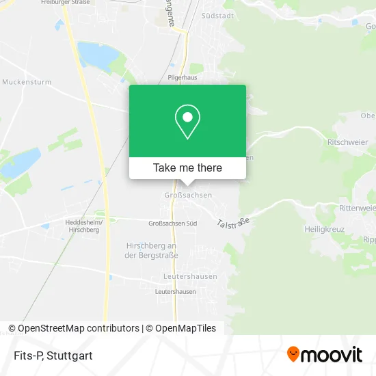
See Fits-P, Hirschberg An Der Bergstraße, on the map
Public Transit to Fits-P in Hirschberg An Der Bergstraße
Wondering how to get to Fits-P in Hirschberg An Der Bergstraße? Moovit helps you find the best way to get to Fits-P with step-by-step directions from the nearest public transit station.
Moovit provides free maps and live directions to help you navigate through your city. View schedules, routes, timetables, and find out how long does it take to get to Fits-P in real time.
Looking for the nearest stop or station to Fits-P? Check out this list of stops closest to your destination: Großsachsen; Großsachsen Bahnhof; Großsachsen.
Train: RB67, RB68.Light Rail: 5, RNV 5.Bus: 627, 629, 630, 682, 6928, 6901, RNV 5.
Want to see if there’s another route that gets you there at an earlier time? Moovit helps you find alternative routes or times. Get directions from and directions to Fits-P easily from the Moovit App or Website.
We make riding to Fits-P easy, which is why over 1.5 million users, including users in Hirschberg An Der Bergstraße, trust Moovit as the best app for public transit. You don’t need to download an individual bus app or train app, Moovit is your all-in-one transit app that helps you find the best bus time or train time available.
For information on prices of bus, light rail and train, costs and ride fares to Fits-P, please check the Moovit app.
Use the app to navigate to popular places including to the airport, hospital, stadium, grocery store, mall, coffee shop, school, college, and university.
Fits-P Address: Friedrich-Ebert-Straße 26A Großsachsen, 69493 Hirschberg an der Bergstraße street in Hirschberg An Der Bergstraße
- Med. Fußpflege H. Wronowski,
- Physiotherapie Röller,
- Gil Gesellschaft für Informationstechnik und Leitsysteme,
- Gemeindehaus Christ-König,
- Arnold Cyclus,
- Main Threats,
- Christkönigskirche,
- Marktplatz,
- Jae Holding,
- Spirituelles Heilen und Seminare,
- Gl Equity,
- Bahner Baumpflege,
- Friseur Stefan Adler,
- Hendel Gerald Dipl.-Kfm. Steuerberater,
- Das Baumhaus,
- Großsachsen,
- Reginas Gartenvielfalt Picknick Frühstück auf der Streuobstwiese,
- Friseursalon Adler,
- Dr. Joachim Leman,
- Hirschberg Hilft
Places Near Fits-P (Hirschberg An Der Bergstraße)
- FlixBus Haltestelle, Stuttgart,
- Hauptbahnhof Stuttgart, Stuttgart-Mitte,
- Pariser Platz Stuttgart, Stuttgart-Mitte,
- Hanns-Martin-Schleyer-Halle, Bad Cannstatt,
- Mettingen Eros-Center Puff Laufhaus, Esslingen Am Neckar,
- Schleyerhalle, Bad Cannstatt,
- Marmorsaal Im Weissenburgpark, Stuttgart-Süd,
- Geilhaus Haus 33a, Reutlingen-Betzingen,
- Porsche-Arena, Bad Cannstatt,
- Gleis 101/102 (tief), Stuttgart-Mitte,
- Klinikum Stuttgart - Katharinenhospital, Stuttgart-Mitte,
- Porsche Museum, Zuffenhausen,
- Wilhelma (U-Bahn Wilhelma), Bad Cannstatt,
- Mercedes-Benz Museum (Mercedes Museum Stuttgart), Bad Cannstatt,
- Waldfriedhof, Degerloch,
- Im Wizemann (Halle), Bad Cannstatt,
- SI-Centrum, Möhringen,
- Gasometer Pforzheim, Pforzheim,
- Hanns-Martin-Schleyer-Halle (Stuttgart Hans-Martin-Schleyerhalle), Bad Cannstatt,
- Mercedes-Benz Museum, Bad Cannstatt
How to get to popular places in Stuttgart with public transit
Get around Hirschberg An Der Bergstraße by public transit!
Traveling around Hirschberg An Der Bergstraße has never been so easy. See step by step directions as you travel to any attraction, street or major public transit station. View bus and train schedules, arrival times, service alerts and detailed routes on a map, so you know exactly how to get to anywhere in Hirschberg An Der Bergstraße.
When traveling to any destination around Hirschberg An Der Bergstraße use Moovit's Live Directions with Get Off Notifications to know exactly where and how far to walk, how long to wait for your line, and how many stops are left. Moovit will alert you when it's time to get off — no need to constantly re-check whether yours is the next stop.
Wondering how to use public transit in Hirschberg An Der Bergstraße or how to pay for public transit in Hirschberg An Der Bergstraße? Moovit public transit app can help you navigate your way with public transit easily, and at minimum cost. It includes public transit fees, ticket prices, and costs. Looking for a map of Hirschberg An Der Bergstraße public transit lines? Moovit public transit app shows all public transit maps in Hirschberg An Der Bergstraße with all Bus, Train, Subway, Light Rail, Ferry, S-Bahn and Funicular routes and stops on an interactive map.
Stuttgart has 7 transit type(s), including: Bus, Train, Subway, Light Rail, Ferry, S-Bahn and Funicular, operated by several transit agencies, including SSB - Stadtbahn, SSB, SSB - Seilbahn / Zacke, S-Bahn Stuttgart, Rhein-Neckar-Verkehr GmbH (rnv), Karlsruher Verkehrsverbund, DB AG, DB Regiobus BW, Arverio Baden-Württemberg GmbH, DB RegioNetz Verkehrs GmbH Westfrankenbahn, DB Regio AG Baden-Württemberg, Südwestdeutsche Verkehrs-AG, DB Regio AG Mitte Region Hessen, DB and Bodensee-Oberschwaben-Bahn